Podgrad - Mehovski hrib (via Skala)
Starting point: Podgrad (447 m)
| Lat/Lon: | 45,7353°N 15,2029°E |
| |
Name of path: via Skala
Time of walking: 20 min
Difficulty: difficult unmarked way
Altitude difference: 124 m
Altitude difference po putu: 124 m
Map: Bela krajina - izletniška karta 1:50.000
Recommended equipment (summer): helmet
Recommended equipment (winter): helmet, ice axe, crampons
Views: 610
 | 1 person likes this post |
Access to the starting point:
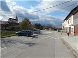
a) Leave the Dolenjska motorway at the Novo mesto East exit, then follow the signs for Metlika. When Novo mesto ends, go through Dolnja Težka Voda, past Koroška vas, and then start climbing more visibly. After the rest area on the left, turn right towards Vinja vas and Podhrad. Then drive through Vinja vas, and when you arrive in Podgrad, park in the parking lot opposite the fire station of PGD Podgrad and the branch primary school.
b) From Bela krajina, we drive to the Vahta Pass, and then start descending towards Novo mesto. Leave the main road and turn left towards Vinja vas and Podgrad. Then drive through Vinja vas, and when you arrive in Podgrad, park in the parking lot opposite the fire station of PGD Podgrad and the branch primary school.
Path description:
From the parking lot, walk to the school playground, which you can walk around on the asphalt road that runs under the playground. After the playground, go right, initially climbing across a meadow, where a trail quickly appears, crossing to the right. The path soon turns left and leads to a crossroads where the path from the neighbouring Vinje vas joins from the right.
The way forward leads us past two benches (the first one has a shortcut to the right), then makes a serpentine and leads us just a little further to a place where a difficult path "over the Rock" branches off to the left.
Continue left in the direction of the "over the rock" path (straight path), where you first start to climb steeply through the forest, and then arrive at the foot of a short cliff, where you continue slightly to the right (the path to the left bypasses the technically difficult part). A few 10 steps further on, you reach the first steel cable, which you use to start climbing up a shorter wall. After the steep part, the path turns left and continues to lead us, with the help of fixed safety gear, crosswise to the left. After crossing, there are only a few steps of ascent and we leave the protected part of the path, and we reach a nice lookout point, where there are also a few benches. From here it is another minute's climb and we reach Mehovski hrib, where there is a registration box with a registration book.
Description and pictures refer to the situation in October 2019.

Pictures:
 1
1 2
2 3
3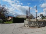 4
4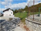 5
5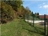 6
6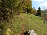 7
7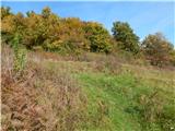 8
8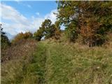 9
9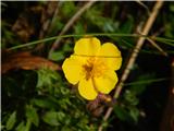 10
10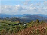 11
11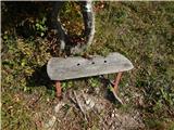 12
12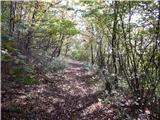 13
13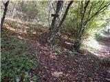 14
14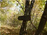 15
15 16
16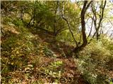 17
17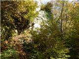 18
18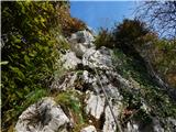 19
19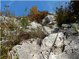 20
20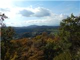 21
21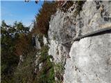 22
22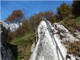 23
23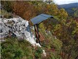 24
24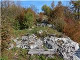 25
25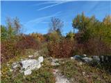 26
26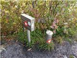 27
27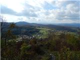 28
28
Discussion about the trail Podgrad - Mehovski hrib (via Skala)