Podgora - Štor (via Slajka)
Starting point: Podgora (425 m)
| Lat/Lon: | 46,10218°N 14,11105°E |
| |
Name of path: via Slajka
Time of walking: 3 h
Difficulty: easy unmarked way, easy marked way
Altitude difference: 580 m
Altitude difference po putu: 635 m
Map: Škofjeloško in Cerkljansko hribovje 1:50.000
Recommended equipment (summer):
Recommended equipment (winter): ice axe, crampons
Views: 149
 | 1 person likes this post |
Access to the starting point:
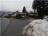
a) From Železniki, Kranj or Medvode, drive to Škofja Loka, from where you continue to Gorenjska vas and Žire. After Hotavlje, you will arrive in Podgora, where a road branches off to the right in front of the bus station, leading towards a part of the settlement. The route starts at the bus stop, where there are no parking facilities.
b) From Horjul or Polhovy Gradec, go to Lučine and from there descend to Gorenjska vas. In Gorenjska vas, turn left towards Žire. After Hotavlje, you will reach Podgora, where a road forks off to the right in front of the bus station, leading towards a part of the village. At the bus stop, where there are no parking facilities, the route described above begins.
c) From Vrhnika, Logatec or Spodnja Idrija drive to Žiri, from there continue to Gorenjska vas and Škofja Loka, and follow the main road only as far as the settlement of Podgora, where the route described above starts at the junction behind the bus station. There are no parking spaces at the starting point.
d) First we drive to Cerkno, and from there we continue our drive over the Kladje (Podlanišče) pass towards Sovodnje. From Sovodnje, continue along the Hobovščica stream, then at a slightly larger crossroads turn left towards Gorenje vas (right Žiri). Follow the main road towards Škofja Loka to Podgora, where the route described above begins at the crossroads behind the bus station. There are no parking spaces at the starting point.
Path description:
From the crossroads by the bus stop, take the side road that branches off the main road to the south-west, turn right in front of the chapel and climb up past a few more houses. At a small junction a little higher up, go right and then past the last houses where the tarmac ends. The way forward is along a dirt road that crosses the slopes to the right, and at two forks in the road go slightly right and then cross a stream. After the stream, the road becomes a wider cart track road, which starts to climb steeply. The higher cart track, which gradually narrows, makes some serpentines and then merges with the path from Hotavlje, which leads along the ridges of Bela.
Continue left along the wider path, which soon widens into cart track, which turns slightly left and leads us out of the forest at the hunting observation post. Here, cross the meadow at the bottom edge of cart track, and when you reach a dirt road, follow it to the right. The road soon begins to descend and within a few minutes leads to a crossroads where you reach an asphalt road. Follow the asphalt road up to a nearby crossroads from which you continue right in the direction of Slajka.
Follow the asphalt road and when you leave the forest, the marked path from Hotavlje joins from the right.
The asphalt road then leads us past a bench, where the path to Vrh Slajke branches off to the right, and we follow the road, which turns semicircularly to the left, to a nearby farm, from which we are only a minute's walk away from Dom na Slajki.
From home, we return to the nearby farm, where we pass the main buildings on the upper side and continue along the dirt road, which turns into cart track in the nearby meadow. Then you walk through lane of a forest and arrive at the grassy slopes of Špik or Vranškovi Hill (both names appear on the maps), which you cross with beautiful views. When you reach a dirt road, follow it downhill (private land on the right), and when the road has been laid, join the wider dirt road, which you reach above Hom farm.
Continue in the direction of Ermanovec and then walk along the dirt road for some time, which later becomes asphalt. There is some downhill with good views, then from a small crossroads continue slightly right (slightly left to reach St Paul's Church in Stara Oselica), and from the next crossroads go slightly left (slightly right to reach Rotovž Farm).
An easy climb follows and the path leads to a place where the marked path splits.
Continue on the slightly right path, which continues along the road (to the left the top of Ermanovec, but it is also possible to get to the Dom na Ermanovcu, but the path is slightly longer) and continue to climb crosswise. Higher up, continue slightly to the left, and at the hamlet of a few houses the road turns sharp right, and then, with beautiful views, leads us to a marked crossroads by the chapel and the bell.
Continue straight on in the direction of Dom na Ermanovcu (sharp left top of Ermanovcu, left road descending to Sovodnja) and continue walking along the gently sloping asphalt road, which a little further on is joined by the marked path from Sovodnja.
From this crossroads, it is only a short walk of 10 steps to reach the Dom na Ermanovcu (Home on Ermanovec).
At the cottage you will see a mountain direction sign for Štor, which directs you to a footpath that climbs steeply through the forest. The path quickly lays down and leads us out of the forest to a meadow with a view, where the markings end. Here, continue right into the dense forest and continue the ascent along a gently sloping unmarked path, which, within 2 minutes of further walking, leads to an undistinguished and wooded summit.
Podgora - Dom na Slajki 1:25, Dom na Slajki - Dom na Ermanovcu 1:30, Dom na Ermanovcu - Štor 0:05.

Pictures:
 1
1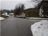 2
2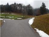 3
3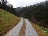 4
4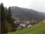 5
5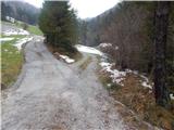 6
6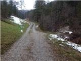 7
7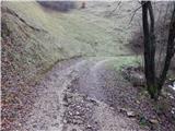 8
8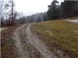 9
9 10
10 11
11 12
12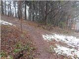 13
13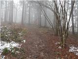 14
14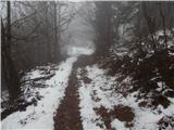 15
15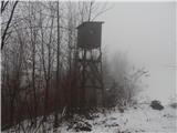 16
16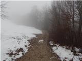 17
17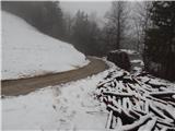 18
18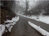 19
19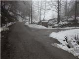 20
20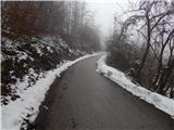 21
21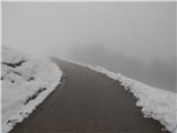 22
22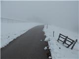 23
23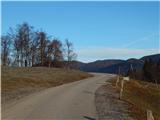 24
24 25
25 26
26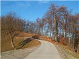 27
27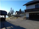 28
28 29
29 30
30 31
31 32
32 33
33 34
34 35
35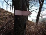 36
36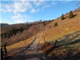 37
37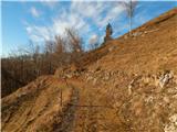 38
38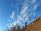 39
39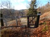 40
40 41
41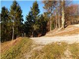 42
42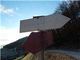 43
43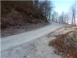 44
44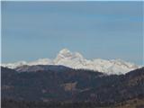 45
45 46
46 47
47 48
48 49
49 50
50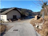 51
51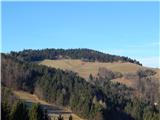 52
52 53
53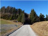 54
54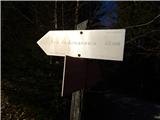 55
55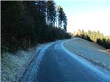 56
56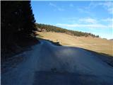 57
57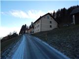 58
58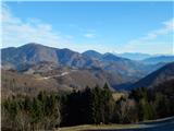 59
59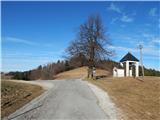 60
60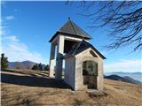 61
61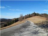 62
62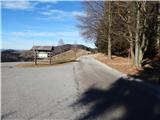 63
63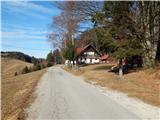 64
64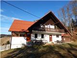 65
65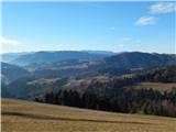 66
66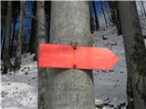 67
67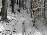 68
68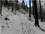 69
69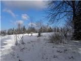 70
70 71
71 72
72 73
73 74
74
Discussion about the trail Podgora - Štor (via Slajka)