Podbrdo - Možic (via Lajnar)
Starting point: Podbrdo (508 m)
| Lat/Lon: | 46,2132°N 13,9717°E |
| |
Name of path: via Lajnar
Time of walking: 3 h 25 min
Difficulty: easy marked way
Altitude difference: 1094 m
Altitude difference po putu: 1120 m
Map: Škofjeloško in Cerkljansko hribovje 1:50.000
Recommended equipment (summer):
Recommended equipment (winter): ice axe, crampons
Views: 1.020
 | 1 person likes this post |
Access to the starting point:
a) First drive to Škofja Loka, then continue to Železniki, Podbrdo and Tolmin. When you arrive in Podbrdo, park in a suitable place in the centre of the town.
b) From the road Idrija - Most na Soči, turn right at Bača pri Modreju, or left if you are coming from the route of Posočje, and continue to Podbrdo. When you arrive in Podbrdo, park in a suitable place in the centre of the town.
Path description:
From the centre of Podbrdo, continue along the main road towards Železniki, where the path initially leads past the kindergarten and the Simon Kos Primary School Podbrdo. Some 10 m further on, at a small crossroads, continue left towards the parish church of St. Nicholas in Podbrdo, where opposite the TIC in Podbrdo we see the first mountain direction signs for Bača at Podbrdo and Vrh Bače (there are also signs for the 4 Municipalities Mountain Marathon (GM4O)). A little further on, the road we are walking on turns slightly left over a small bridge (straight cemetery) and begins to climb crosswise over the river Bača. The asphalt soon ends and the road leads us behind a wooden sign to a marked crossroads where a marked footpath branches off to the left towards Vrh Bače (the path through the Bača at Podbrdo), and we continue along the road, along which there are still signs for GM4O. At a small leveling off the road turns right and splits into two parts. The left-hand path (originally a road) leads to the settlement of Bača at Podbrdo, but we continue straight ahead here, this time on a road that gradually crosses over to the left bank of the river Bača. A little further on, from the marked crossroads, continue left in the route GM4O (straight Petrovo Brdo).
Continue along the macadam road, which first makes a right serpentine, and in the middle of the next left serpentine leave it and continue straight on cart track (if you continue along the road you will reach a nearby homestead). The way forward takes us along cart track or the old road and for a while cross-climbs to the right, and higher up where another path joins from the right and goes sharp left. There follows a cross-climb where we pass through a more grassy part, where under the path we also see the old vertical, wide path, and the old road begins to climb in longer serpentines. Higher up we reach a dilapidated building of the Rapallo border, after which a fainter path branches off to the right, leading towards the nearby Kup, and we continue along the wider path. There is a bit more of a traverse, and then we reach the next building, which is much larger than the first, and from which we get a nice view. Higher up, at a couple of crossroads, follow the wider path, and when you join the marked path from Petrov Brda, take a sharp left. Walking through the forest and a few ravines, the path leads to a crossroads near the Hunter's bivouac at Koucah.
Here go right towards Lajnar and Slatnik (straight ahead 1 minute to Hunter's bivouac at Kouce).
The trail, which is not marked, continues along the old mulatier, which quickly leads us out of the forest, where we cross relatively steep slopes. Higher up, the path passes into the lane of a forest, where it turns sharply to the left. Follow this well-traced and increasingly scenic path, which makes some serpentines higher up, all the way to the main ridge, where there is a marked crossroads and where you rejoin the waymarked path.
Once on the marked trail, continue straight ahead (sharp right Lajnar) in the direction of Slatnik, Možica, Šavnik and Črna prst on the marked trail, which continues along the coastal side of the ridge (it is also possible to continue along the ridge). There is a slight climb up the lookout mulatier, and then the trail leads us to the pass between the two Slatniks.
Continue slightly right (sharp right Slatnik) 10-15 minutes) along the wide path, which leads us in a slight ascent slightly above the old military barracks. Continue slightly left, and slightly downhill (sharp left along the grassy ridge of the Slatnik (north-western peak) 5 minutes) along a path that begins to descend towards a small saddle, where the next crossroads are.
Continue straight on (left down Šavnik and saddle Vrh Bače) along an old military causeway, which begins to climb gently. Follow this pleasant path all the way to the top of Možic, which is reached after a few minutes of further walking.
Podbrdo - Hunter's bivouac near Kouce 1:55, Hunter's bivouac near Kouce - Možic 1:30.

Pictures:
 1
1 2
2 3
3 4
4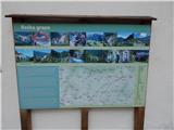 5
5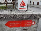 6
6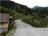 7
7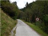 8
8 9
9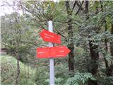 10
10 11
11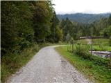 12
12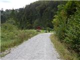 13
13 14
14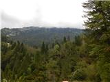 15
15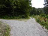 16
16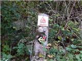 17
17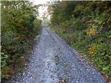 18
18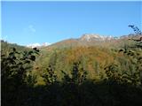 19
19 20
20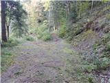 21
21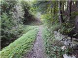 22
22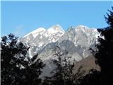 23
23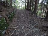 24
24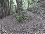 25
25 26
26 27
27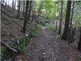 28
28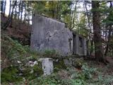 29
29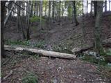 30
30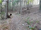 31
31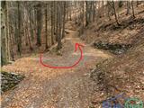 32
32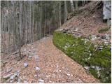 33
33 34
34 35
35 36
36 37
37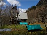 38
38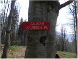 39
39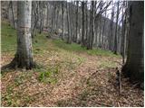 40
40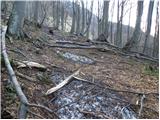 41
41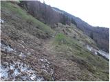 42
42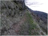 43
43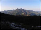 44
44 45
45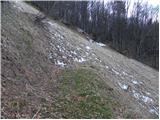 46
46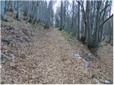 47
47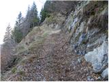 48
48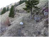 49
49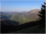 50
50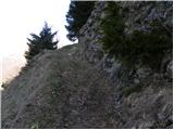 51
51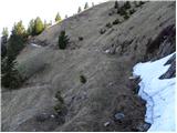 52
52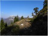 53
53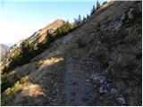 54
54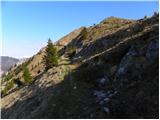 55
55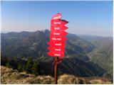 56
56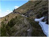 57
57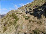 58
58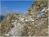 59
59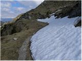 60
60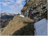 61
61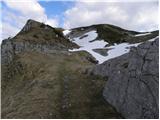 62
62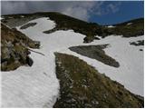 63
63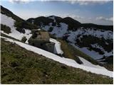 64
64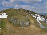 65
65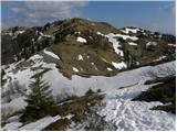 66
66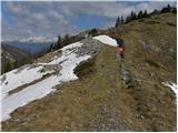 67
67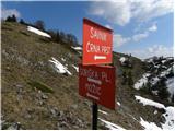 68
68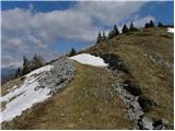 69
69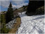 70
70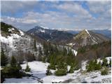 71
71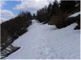 72
72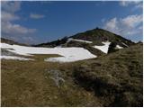 73
73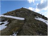 74
74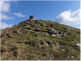 75
75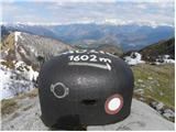 76
76 77
77
Discussion about the trail Podbrdo - Možic (via Lajnar)