Starting point: Podbrdo (515 m)
| Lat/Lon: | 46,2151°N 13,9739°E |
| |
Time of walking: 3 h 15 min
Difficulty: easy marked way
Altitude difference: 1000 m
Altitude difference po putu: 1050 m
Map: Škofjeloško in Cerkljansko hribovje 1:50.000
Recommended equipment (summer):
Recommended equipment (winter): ice axe, crampons
Views: 3.104
 | 1 person likes this post |
Access to the starting point:
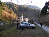
a) First drive to Škofja Loka, then continue to Železniki and Tolmin. When you arrive in Podbrdo, pay attention, because just after the church you will turn right onto a narrow local road that starts to climb along the river Bača. Park in a suitable place on the roadside, or in a small parking lot next to the local cemetery.
b) From the road Idrija - Most na Soči, turn right at Bača pri Modreju, or left if you are coming from the route of Posočje, and continue towards Podbrdo. At the end of Podbrdo, pay attention, because just before the church of St. Nicholas you will turn left onto a narrow local road, which begins to climb along the river Bača. Park in a suitable place on the roadside, or in a small parking lot next to the local cemetery.
Path description:
From the starting point, continue along the initially still asphalted road, from which a marked footpath soon branches off sharply to the left towards Vrhu Bače. Continue past an old residential house, gradually turning into the forest. Through the forest, we climb along a relatively well-marked and partly also quite steep mountain path, which is higher and leads us out of the forest to a short scenic slope, over which we walk to the nearby church of St Lenart.
At the church, you enter a narrow road, which leads you quickly to the village of Bača near Podbrdo. Through the small and picturesque village, follow the signs and they will lead you to cart track, which begins to climb through the forest. The narrower and at first slightly overgrown cart track, however, joins the old mulatier after a few minutes. Follow the wide mulatier to the right, and after a few minutes it leads to a small crossroads, where you continue along the upper left path in the direction of Vrh Bače (slightly to the right Petrovo Brdo).
We continue to climb for some time on the well-preserved and quite wide mule track, which we leave for a short time higher up, as the path leads us along a marked shortcut. Higher up, the mule track path is stopped a few times by some fallen trees, and we then approach the cliffs of Šance Peak, where we leave the mule track. Next, we climb up a rather steep path, which takes us 5 minutes to reach the hunting hut on Vrhu Bače.
From the hunting lodge, continue straight ahead (sharp right Petrovo Brdo) and climb to the Vrh Bače preval, where there is a marked crossroads. Here continue left in the direction Črna prst (slightly right along the road Soriška planina, right into the bank of Šavnik and Cairn) and start climbing crosswise through the forest. When the path almost reaches the summit of Šanc, it starts to descend towards a small saddle. The path leads us first past the GRS hut and then to the aforementioned saddle. The way forward begins first to climb moderately, then gradually leads us to the ridge Koble, where it is further erected upright. This is followed by a few minutes of steep ascent along the path, which runs along the edge of the occasionally exposed ridge. Higher up, the path lays down, turns slightly to the right and leads us to the less distinct summit of Kobla. From Kobla there is a short descent, and then the path leads us into the forest, where it continues for a short time crossing the slopes. Soon after we leave the forest, the markings for the stamp on Kobla direct us left onto a steeper footpath that begins to climb along and higher up the relatively steep Krevla ridge. When the ridge widens a little, you reach a signing box, and the top is a few steps further on.

We can extend the trip to the following destinations: Črna prst
Pictures:
 1
1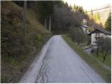 2
2 3
3 4
4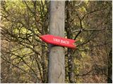 5
5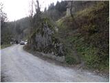 6
6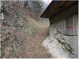 7
7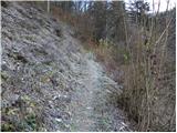 8
8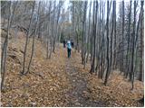 9
9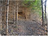 10
10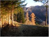 11
11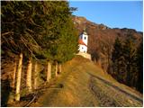 12
12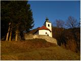 13
13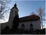 14
14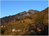 15
15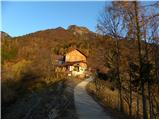 16
16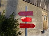 17
17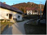 18
18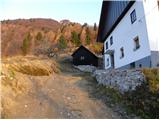 19
19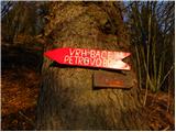 20
20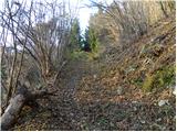 21
21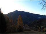 22
22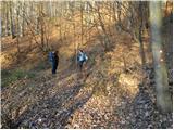 23
23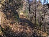 24
24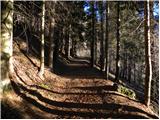 25
25 26
26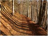 27
27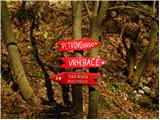 28
28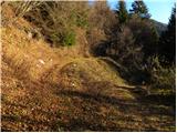 29
29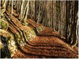 30
30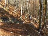 31
31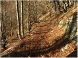 32
32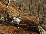 33
33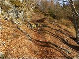 34
34 35
35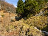 36
36 37
37 38
38 39
39 40
40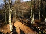 41
41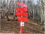 42
42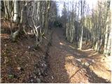 43
43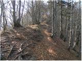 44
44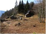 45
45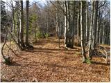 46
46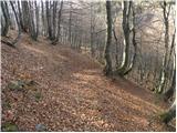 47
47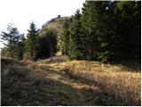 48
48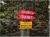 49
49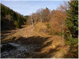 50
50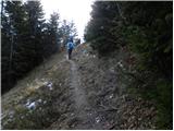 51
51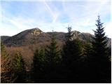 52
52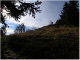 53
53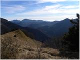 54
54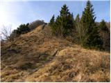 55
55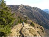 56
56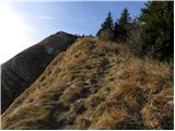 57
57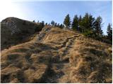 58
58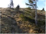 59
59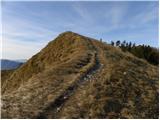 60
60 61
61 62
62 63
63 64
64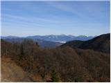 65
65 66
66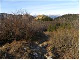 67
67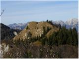 68
68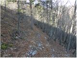 69
69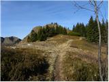 70
70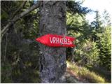 71
71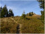 72
72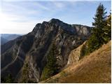 73
73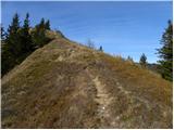 74
74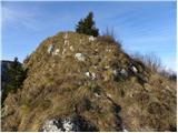 75
75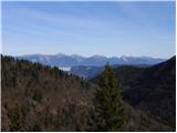 76
76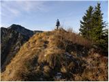 77
77 78
78 79
79 80
80
Discussion about the trail Podbrdo - Krevl
|
| julius1. 12. 2011 |
Jeseni smo bili na Kobli in na žigu, ki je po zgoraj napisanem opisu poti na vrhu Krevla piše Kobla (fotografija št 79). Tudi smerna tabla na fotografiji št. 71 izpodbija napisano, saj nas usmerja na vrh Koble, ko smo se že "spustili" z nje in nas tako usmerja na "Krevl".
Kje je sedaj napaka?
Hvala za pojasnilo.
|
|
|
|
| Tadej1. 12. 2011 |
Opis je narejen s pomočjo zemljevida TNP 1:50.000 PZS, zemljevida Škofjeloško in Cerkljansko hribovje 1:50.000 Kod&Kam in spletne aplikacije Atlas okolja (ARSO - ministrstvo za okolje in prostor RS).
V vseh omenjenih virih se vrh s koto 1515 m imenuje Krevl, vrh Kobla pa je označen na koti 1492 m, ki pa ni najvišja točka grebena Koble (najvišji vrh Koble se nahaja nekoliko SZ od kote 1492 in meri v višino 1498 m).
Torej je do napake najverjetneje prišlo, ko so postavljali smerne table in žig.
Upam, da sem kaj pomagal.
|
|
|
|
| julius1. 12. 2011 |
Tadej hvala. V karti TNP je tako kot praviš. Sem pa vseeno pogledal Miheličev vodnik po Jujijskih Alpah, kjer pa Krevla niti ne omenja. Enako je tudi v Dobnikovem vodniku po SPP.
Lep pozdrav in še veliko lepih opisov. Imajo sporočilo in vabijo.
|
|
|