Podblica - Sveti Mohor (Zabrekve)
Starting point: Podblica (675 m)
| Lat/Lon: | 46,2567°N 14,2067°E |
| |
Time of walking: 1 h 40 min
Difficulty: easy marked way
Altitude difference: 277 m
Altitude difference po putu: 395 m
Map: Škofjeloško in Cerkljansko hribovje 1:50.000
Recommended equipment (summer):
Recommended equipment (winter):
Views: 2.200
 | 1 person likes this post |
Access to the starting point:
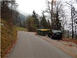
a) Drive to Kranj, then follow the signs for Besnica (the turnoff from the old Ljubljana - Kranj road is before the bridge over the Sava River, or after the bridge if coming from Kranja). Continue through Spodnja, Zgornja Besnica and Njivica. A little further on, you arrive in Nemilje, and after this settlement the road starts to climb more steeply. When you reach Podblica, follow the main road, and when you reach the ecological island on the right, you will see the beginning of the route described above. Do not park at the ecological island, as this will block the locals' access to the rubbish containers. Park in a suitable place on the roadside lower or higher up the road.
b) From Železniki, drive to Dražgoše, then continue to Kropa, crossing the slopes of Jelovica, then arriving at a junction where the road to Kranj turns sharp right (the turn-off for Kranj is only from the opposite direction). Here, continue sharp right (if the turn is too sharp, there is a turning point about 50 metres further on), then descend to Podblica, where you will see an ecological island on the left before the centre of the village, where the route described above begins. Do not park at the ecological island, as this will block the locals' access to the rubbish containers. Park in a suitable place on the roadside lower or higher up the road.
c) Drive to Kropa, then continue driving to Dražgoše and Železniki. After Jamnik, leave the road towards Dražgoše and drive left towards Kranj. Then descend to Podblica, where the route described above starts at the ecological island. Do not park at the ecological island, as this will block the locals' access to the rubbish containers. Park in a suitable place on the roadside lower or higher up the road.
Path description:
A few steps above the eco-island there is a marked crossroads, from where you turn left in the direction of St. Mohor (right footpath to Jamnik and Metka biscuit bakery). The path ahead leads you along the cart track, which climbs crosswise through vast hay meadows, then turns into woods after a small sign. Through the woods we continue to climb mainly cross-country, then at the chapel we reach a marked crossroads, from where we continue left towards St. Mohor (straight Selca, right Lajše and Dražgoše).
Continue slightly left and follow the path mostly along cart track, only occasionally on a slightly steeper descending path. At a lower level we reach a road leading from the village Nemilje towards the village Selca, but we just cross it and continue our ascent along a marked path through the forest, which only begins to climb. There are a few forks, where we follow the markings carefully, and the path leads us into a dense forest, through which we start to climb steeply. The path soon lays down and joins the next cart track, which quickly leads to an asphalt road. Continue along the asphalt road, which, with increasingly beautiful views of the surrounding hills, leads to a small hamlet where the signs for St. Mohorja direct you to the right to cart track, which begins to climb steeply to the right. Higher up, cart track turns sharp left, crosses lane woodland and leads to a grassy hillside. Here the path climbs moderately and, with views of the highest peaks of the Kamnik and Savinja Alps on the left and of the Škofjeloško hribovje, Jelovica, part of Julian Alps and Karawanks, leads to the place where the registration box is located. From the registration box, it is only a gentle climb of a few 10 steps before you reach the Church of Sts.

Pictures:
 1
1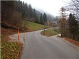 2
2 3
3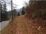 4
4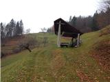 5
5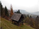 6
6 7
7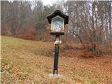 8
8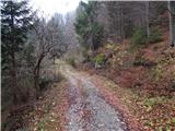 9
9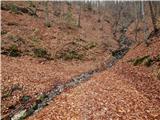 10
10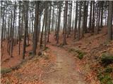 11
11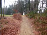 12
12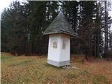 13
13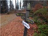 14
14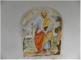 15
15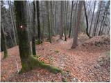 16
16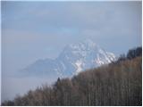 17
17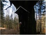 18
18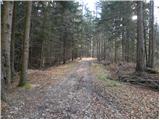 19
19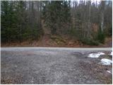 20
20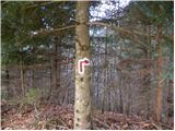 21
21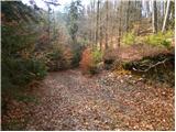 22
22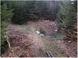 23
23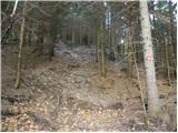 24
24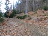 25
25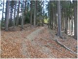 26
26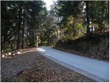 27
27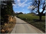 28
28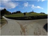 29
29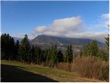 30
30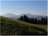 31
31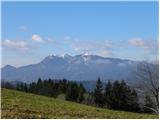 32
32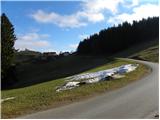 33
33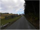 34
34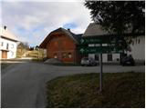 35
35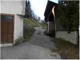 36
36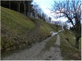 37
37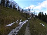 38
38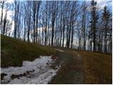 39
39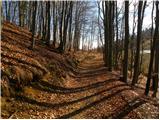 40
40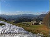 41
41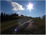 42
42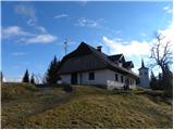 43
43 44
44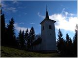 45
45 46
46
Discussion about the trail Podblica - Sveti Mohor (Zabrekve)