Planina Loka - Mala Raduha
Starting point: Planina Loka (1435 m)
| Lat/Lon: | 46,4034°N 14,7573°E |
| |
Time of walking: 1 h 40 min
Difficulty: easy pathless terrain
Altitude difference: 594 m
Altitude difference po putu: 594 m
Map: Kamniške in Savinjske Alpe 1:50.000
Recommended equipment (summer):
Recommended equipment (winter): ice axe, crampons
Views: 18.097
 | 1 person likes this post |
Access to the starting point:
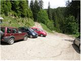
From Mozirje drive towards the Logar valley, but only as far as the village of Strmec (the village between Ljubno and Luce), where the signs for Snežna jama to Raduha direct you right onto a narrower ascending road. Follow the road, which has a few crossroads, in the direction of Snežna jama and the hut at Loka (the crossroads are well marked). After 16 km (9 km of which are macadam) of driving from the town, when we have left the main road, we reach the starting point, where we park near a small crossroads (at the crossroads there are mountain signs for the hut at Loka).
Path description:
At the parking lot we see the mountain direction signs for the hut at Loka and Raduha, which direct us to the worse forest road, which climbs through the lane of the forest. After only a few 10 steps, we emerge from the forest at the lower part of mountain pasture Loka. The ascent continues along a relatively steep road, which takes a few minutes to reach the hut on Loka.
From the hut, continue slightly to the left (direction Raduha) along a path that runs along the left side of an undistinguished ravine. The path, which climbs gently at first, soon turns to the left, where it climbs steeply for a short time through the lane of a compacted forest. The steepness then eases and the forest is gradually replaced by dwarf pines and raspberry bushes. A moderately steep path climbing up the south-eastern slopes of Raduha leads higher up to a marked crossroads, where you continue to the left (Durce on the right).
After a few steps from the crossroads, on the right side of the marked path, you will notice a beautiful transition between dwarf pines. Take the above-mentioned crossing (an undeveloped, unmarked valley) and follow it straight up. Higher up, the passage is stopped by dwarf pines, and we find a partly overgrown path which continues to the right (eastwards). This path facilitates our passage through the lane of the dense dwarf pines, which leads us under the very top of Mala Raduha. Again, find a nice passage between the dwarf pines and after a few steps of further walking you reach the top of Mala Raduha.
In the fog, orientation in the upper part is difficult.

Pictures:
 1
1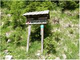 2
2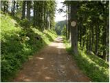 3
3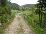 4
4 5
5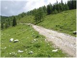 6
6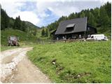 7
7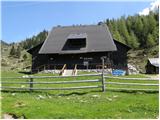 8
8 9
9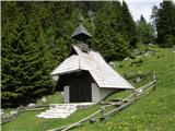 10
10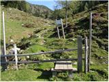 11
11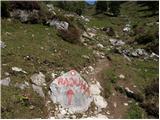 12
12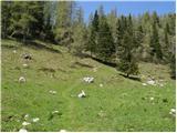 13
13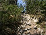 14
14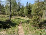 15
15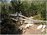 16
16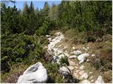 17
17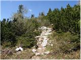 18
18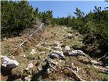 19
19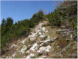 20
20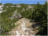 21
21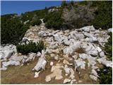 22
22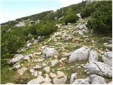 23
23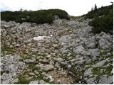 24
24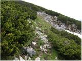 25
25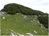 26
26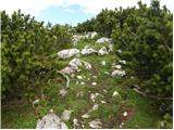 27
27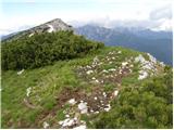 28
28
Discussion about the trail Planina Loka - Mala Raduha
|
| kkac29. 10. 2019 |
Krajevna tabla ni več Struge, ampak Strmec.
|
|
|