Planina Kuhinja - Krn (via Krnska škrbina)
Starting point: Planina Kuhinja (991 m)
| Lat/Lon: | 46,2413°N 13,663°E |
| |
Name of path: via Krnska škrbina
Time of walking: 3 h 30 min
Difficulty: easy marked way
Altitude difference: 1253 m
Altitude difference po putu: 1265 m
Map: Julijske Alpe - zahodni del 1:50.000
Recommended equipment (summer):
Recommended equipment (winter): ice axe, crampons
Views: 31.540
 | 1 person likes this post |
Access to the starting point:
From Tolmin, drive towards Kobarid or vice versa, but only until you reach the point where the signs for Kamno direct you to the right (or left from Kobarid) across the bridge. Follow the relatively narrow and ascending road towards the village Vrsno and higher up Krn. From the village Krn, continue in the direction of the Hut at mountain pasture Kuhinja. When you reach a large parking lot near mountain pasture Kitchen, continue slightly left and follow the dirt road for another 200 m, then park in the free parking lot at Koča na planini Kuhinja, which has space for about 40 cars.
Path description:
Before Koča na planini Kuhinja go right in the direction of Krn and continue along the first gently sloping, then occasionally steeper path, which leads us along vast pasture slopes interspersed with a few grazing fences. With fine views of Krn, Batognica and other surrounding mountains, we cross an occasionally worse mountain road a few times, and after about 40 minutes' walk from the starting point we arrive at the former military hamlet of mountain pasture Slapnik.
Above mountain pasture we cross the aforementioned road a few more times, and then the path from the end of the road or mountain pasture Zaslap joins us from the left. The trail continues to climb moderately, mostly to the right, and then at about 1500 m it makes a left turn and starts to climb to the left. Higher up, you reach an area called Leger, where the marked trail splits into two parts (the crossroads are not marked).
Continue straight on (right Krn notch, Krn over Krnska škrbina, Batognica, Krn Lakes. . . ) and after a few steps arrive at or near the south-west ridge of Krno, from where a beautiful view opens up towards Monte Mataiur, Stol and the valley of the Soča River. A little further on, the marked path from Drežnica joins us from the left, and we continue along the wide path (mulatjeri), which climbs in many short serpentines along the ridge. We are getting closer and closer to the Gomišček shelter, most of which we can see in front of us, along a path that is becoming rockier and rockier. There is some more walking, with some really nice views, and then we arrive at the Gomiščko shelter below the summit of Krno.
From the shelter, continue in the direction of Krno and Krnsko jezero, following the path along which you can see a number of old tunnels and caverns dating back to the First World War. Soon you will reach a crossroads where you go left in the direction of Krno (straight ahead Krnska škrbina, Krnsko jezero, Batognica. . . ). A good 5 minute climb follows and the path leads us to the scenic Krno peak.

Pictures:
 1
1 2
2 3
3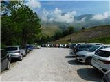 4
4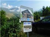 5
5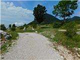 6
6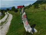 7
7 8
8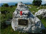 9
9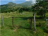 10
10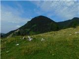 11
11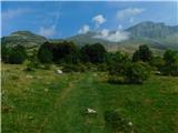 12
12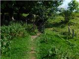 13
13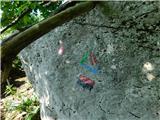 14
14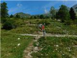 15
15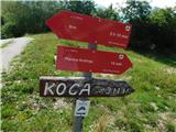 16
16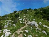 17
17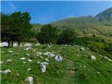 18
18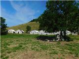 19
19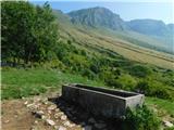 20
20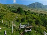 21
21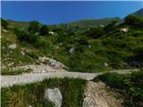 22
22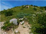 23
23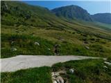 24
24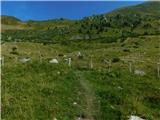 25
25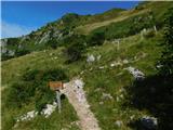 26
26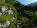 27
27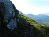 28
28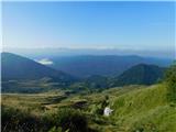 29
29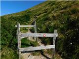 30
30 31
31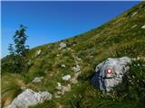 32
32 33
33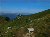 34
34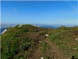 35
35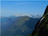 36
36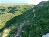 37
37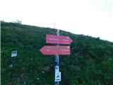 38
38 39
39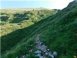 40
40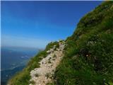 41
41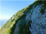 42
42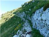 43
43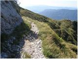 44
44 45
45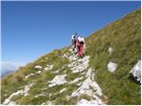 46
46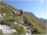 47
47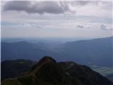 48
48 49
49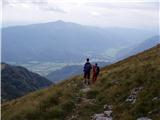 50
50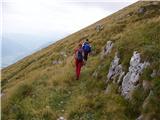 51
51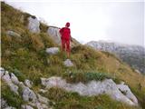 52
52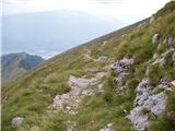 53
53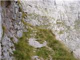 54
54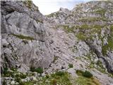 55
55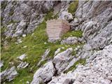 56
56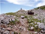 57
57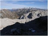 58
58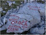 59
59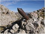 60
60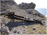 61
61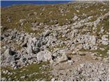 62
62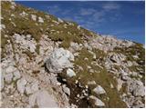 63
63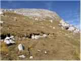 64
64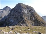 65
65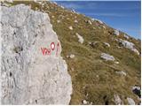 66
66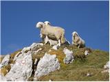 67
67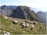 68
68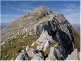 69
69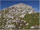 70
70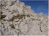 71
71 72
72
Discussion about the trail Planina Kuhinja - Krn (via Krnska škrbina)
|
| 12a3bc12. 10. 2021 17:20:50 |
V vasi Vrstno je tabla za popolno zaporo ceste, ker casto višje popravljajo se je pa v nedeljo dalo it mimo. Neven pa kako je čez teden.
|
|
|