Passo Falzarego - Col Galina
Starting point: Passo Falzarego (2105 m)
| Lat/Lon: | 46,5186°N 12,0096°E |
| |
Time of walking: 50 min
Difficulty: easy unmarked way
Altitude difference: 267 m
Altitude difference po putu: 267 m
Map:
Recommended equipment (summer):
Recommended equipment (winter): ice axe, crampons
Views: 2.994
 | 1 person likes this post |
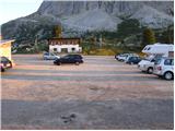
Access to the starting point:
First, drive to Cortina d'Ampezzo (you can get here via Border crossing Rateče or Predel to Trbiž / Tarvisio and then take the motorway towards Udine to the Tolmezzo exit. From Tolmezzo, follow the road towards Ampezzo and the Passo della Mauria mountain pass. The road then descends and leads to a crossroads where you turn left (possibly right) towards Cortina d'Ampezzo. At all subsequent junctions, follow the signs for Cortina d'Ampezzo.
Or from the Primorska side, take the motorway towards Trieste. Continue on the Italian motorway towards Padua, but only as far as the motorway junction where you continue towards Veneto and Belluno. Near Belluno, the motorway ends and we continue towards Cortina d'Ampezzo at the next junctions and then follow the signs for the Passo di Falzarego Alpine pass. We then follow this ascending road to the large parking lot at the pass.
Cortina d'Ampezzo can also be reached from the route of Austria (direction Karavanke Tunnel, Spittal, Lienz, Sillian, Dobbiacho / Toblach, Cortina d'Ampezzo, Passo Falzarego).
Path description:
From the Falzarego Pass, head south on route 441 (direction Rifugio Averau and Rifugio Nuvolau), which begins to climb up a gentle grassy slope. After a short climb, you will reach an unmarked crossroads, where a less obvious path branches off to the right, leading to the summit or ridge of Col Galina. Take the above-mentioned path (it leads straight on to hut Averau), which first crosses the slopes to the right and then leads to a flatter area, where you join a transport rescue road. Continue along the above-mentioned 'road', which continues to climb up the right-hand side of the ski lift, more precisely along the ski slope. This occasionally steeper path is then followed to the main ridge, where the 'road' turns left, and we leave it here and continue to the right along a less well-trodden but clearly visible path. The path climbs steeply immediately and quickly leads to a very scenic ridge, along and along which we then climb to the summit, which is reached after about 10 minutes' walk from the point where we left the ski slope.

Pictures:
 1
1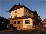 2
2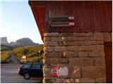 3
3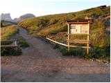 4
4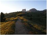 5
5 6
6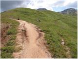 7
7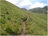 8
8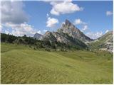 9
9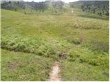 10
10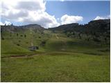 11
11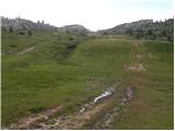 12
12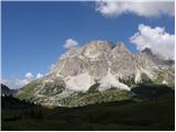 13
13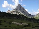 14
14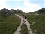 15
15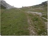 16
16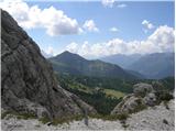 17
17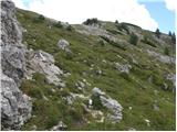 18
18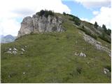 19
19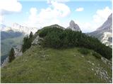 20
20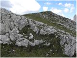 21
21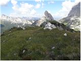 22
22
Discussion about the trail Passo Falzarego - Col Galina