Osor - Planinarski dom Sveti Gaudent
Starting point: Osor (2 m)
| Lat/Lon: | 44,69262°N 14,39192°E |
| |
Time of walking: 1 h 40 min
Difficulty: easy marked way
Altitude difference: 272 m
Altitude difference po putu: 290 m
Map:
Recommended equipment (summer):
Recommended equipment (winter):
Views: 2.480
 | 4 people like this post |
Access to the starting point:
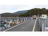
From the motorway Rupa - Rijeka / Rijeka or Zagreb - Rijeka / Rijeka, drive towards Rijeka, and from there follow the signs for Krk Island. When the motorway or, in the last part, the expressway ends, descend to the Krk Bridge. On the island of Krk, follow the signs for the islands of Cres and Lošinj and the ferry port of Valbiska. At the ferry port, take the ferry to Merag on the island of Cres (126 kuna - July 2020). On the island of Cres, follow the signs for Mali Lošinj to Osor, where you will cross a short drawbridge to reach the island of Lošinj. Just after the bridge, turn right and park in a small parking lot. This parking lot is often busy, so you can park in the larger parking lot, which is located at the roundabout in Osor about 300 metres before the bridge.
Path description:
Just after the bridge connecting the islands of Cres and Lošinj, take the ascending road through the camping site of Preko mosta. At the beginning of the road you will also see signs. After a short climb, the bivouac ends, and we continue along the road, which then becomes a dirt road. There are also signs along the road and a large signpost with the inscription "Osoršćica".
We continue on the dirt road and soon come to a marked crossroads where a path branches off to the left towards the abandoned village of Tržić, which is about a 20-minute walk away. We continue along the road for a short time, and then a signpost for a mountain hut and the Televrina peak directs us left into the forest.
The trail continues through mostly low forest along a stone fence. The path then branches off to the right towards Mali Tržić, and we continue straight on, following the signs for the mountain lodge. The path then climbs slightly and leads to a marked crossroads.
A path from Nerezine via Tržić joins us from the left, a sharp right downhill path leads to the road, and we continue slightly to the right, following the signs for the mountain lodge and the Televrina peak. From the crossroads, the relatively level path runs westwards and after about 15 minutes leads to the next marked crossroads. Here, a more direct path branches off to the left towards peak Televrina, and we continue to the right towards the mountain hut.
The path then briefly joins the road twice, and then rejoins the track through low forest and scrub. The path then leads us into a slightly more dense forest, where there is also a bench and a suitable resting place.
As the forest becomes thinner, beautiful views towards the sea begin to open up. The path then crosses the road once more and then climbs for some time along bushes and low trees. This path then soon leads us to a mountain hut from where a very nice view opens up to the west.

Pictures:
 1
1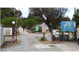 2
2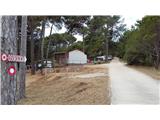 3
3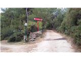 4
4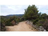 5
5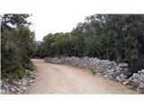 6
6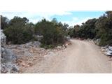 7
7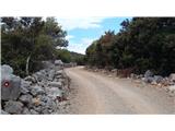 8
8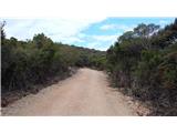 9
9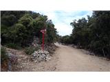 10
10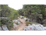 11
11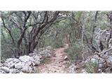 12
12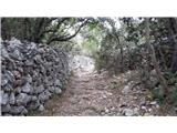 13
13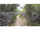 14
14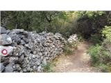 15
15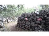 16
16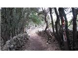 17
17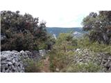 18
18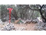 19
19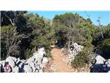 20
20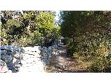 21
21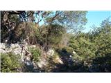 22
22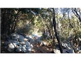 23
23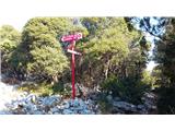 24
24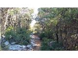 25
25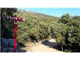 26
26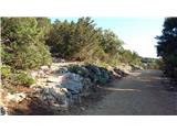 27
27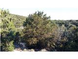 28
28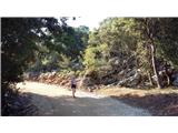 29
29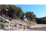 30
30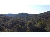 31
31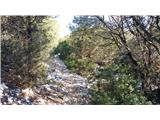 32
32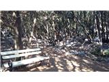 33
33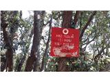 34
34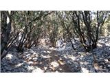 35
35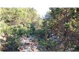 36
36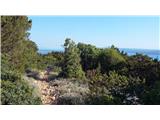 37
37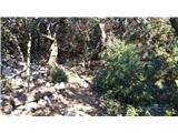 38
38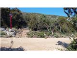 39
39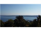 40
40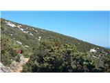 41
41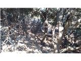 42
42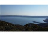 43
43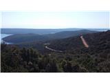 44
44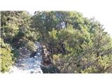 45
45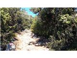 46
46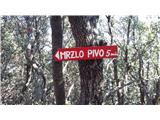 47
47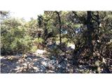 48
48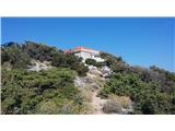 49
49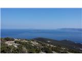 50
50 51
51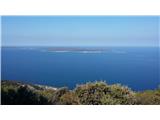 52
52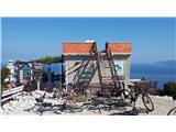 53
53
Discussion about the trail Osor - Planinarski dom Sveti Gaudent