Starting point: Osilnica (290 m)
| Lat/Lon: | 45,529°N 14,6985°E |
| |
Time of walking: 4 h 5 min
Difficulty: easy marked way
Altitude difference: 902 m
Altitude difference po putu: 1000 m
Map:
Recommended equipment (summer):
Recommended equipment (winter): ice axe, crampons
Views: 1.190
 | 1 person likes this post |
Access to the starting point:
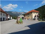
a) First drive to Ribnica, then continue to Kočevje. After Dolenjja vasja, turn right towards Grčarice, Gotenica and Kočevska Reka. In Kočevska Reka, turn right towards Borovec at Kočevska Reka, Strma Reber Pass and Osilnica. In Borovec, turn right again, and then pass the hamlet of Ravne and within a few kilometres reach the Strma Reber Pass, located at an altitude of 993 m. After the pass, the road begins to descend, and then after 19 serpentines leads us and a few more kilometres of driving leads to the settlement of Sela, and a little lower still to Osilnica, where in the centre of the settlement, near the Mercator store, we also park.
b) From Kočevje drive towards Border crossing Petrina, then at the end of Štalcerji turn right towards Kočevska Reka. In Kočevska Reka turn left towards Borovec at Kočevska Reka, Strma Reber Pass and Osilnica. In Borovec, turn right, then pass the hamlet of Ravne and within a few kilometres you will reach the Strma Reber Pass, located at an altitude of 993 m. After the pass, the road starts to descend, then after 19 serpentines, it leads and a few more kilometres of driving leads to the hamlet of Sela, and a little lower still to Osilnica, where you can park in the centre of the hamlet, close to the Mercator shop.
c) From Border crossing Petrina continue along the road towards Osilnica. Continue through Grivac, Gladloka, Kuželj, Srobotnik ob Kolpi, Mirtoviči, Bosljiva Loka, Grintovec pri Osilnici, Ložec and Ribjek to Osilnica, where you will park in the middle of the settlement near the Mercator shop.
Path description:
From the starting point, continue along the road leading further towards Petrina, which runs along the Kolpa River. When Osilnica ends, the path leads us past a few more houses that belong to Osilnica. After the house with the house number Osilnica 1, cross a small stream over a bridge, and then immediately after the bridge, turn left onto a marked footpath, where after a few steps you will see the first markings. Continue on the cart track, which climbs gently to moderately through the forest, and at a few forks we follow it in the direction of the markings. Higher up, the forest ends and the trail leads us past a hunting observation post to the settlement Križmani, where the trail leads us between some houses.
After the houses, we cross an asphalt road and then climb straight up, where the path leads us through a small orchard. A little further on, where the meadow becomes more overgrown, the path turns right and enters a forest. Climb through the woods for a few minutes, then cross the partly overgrown meadow to the main road Osilnica - Kočevska Reka, which you just cross. Continue past a wood pile, then through a short lane of forest to reach a local road leading to the settlement of Bezgovica. When you reach the village, continue slightly right at a small crossroads, and then, with fine views of Sveta Gora and Gorski Kotar, you will reach the upper part of the village, where you will follow the signs between the houses. Behind the last house you will see the mountain direction signs, which direct you to the bank, to the path that turns into a forest, through which you gradually start to climb steeply. After a short climb, we are joined on the right by a path from the 18th serpentine road to Strmo Reber, and we continue straight on the steeper path, which leads us higher up in a cross-climb to a steep valley, after which we continue our climb. Higher up, markings from the open valley lead us left onto a path that passes along the edge of an occasionally precipitous ridge. The ascent continues along an occasionally slightly more overgrown path, which retreats slightly to the right, occasionally opening up some views of the surrounding hills. A few minutes higher we reach the broad cart track, which we follow to the left, and we follow it to where it splits into two parts. Continue along the slightly left cart track (the right cart track bypasses Bezgarska planina and leads to the Strma Reber pass), which quickly leads out of the forest to the lower part of the Bezgarska mountain pasture. When you reach mountain pasture, you will walk across a meadow to a large hunting observation point in a minute or two.
From the hunting observation post, at which there is a marked crossroads, continue right in the direction of Cerka and Firstov rep (straight ahead Taborska stena, Dragarji. . . ), following the path which descends to a small garden in the middle of mountain pasture. When the path enters the forest, continue straight on at the crossroads of the tracks (here a track joins from the right, which turns straight on from the marked path shortly before mountain pasture and is about a minute shorter than the marked path). There is a climb through the forest for a few minutes, and then you reach the main road Osilnica - Kočevska Reka, which you cross with care.
On the other side of the road, continue in the direction of Cerka and Firstov rep and follow the forest road. The way ahead is along the forest road, from which after a few minutes a marked path branches off to the right.
Continue on the marked path (it is also possible to continue on the unmarked path, as the marked path returns to the above-mentioned road after a while, and the path along the road is also slightly shorter), which passes into a dense forest. Through the forest, start climbing moderately, following the markings carefully, as the otherwise traceable path is relatively poorly trodden. When the path is slightly higher, you will pass the unmarked peak of Luknja (1079 m) on your left, which can be reached in a few minutes by following the easier trackless path, otherwise continue along the marked trail, which, as written above, passes the peak on your left. There are a few short ascents and descents, followed by a slightly longer descent, which ends when you reach the macadam road.
When you reach the road, continue left (right Firstov rep and Loška stena), and after a minute or two of further walking, you will reach a crossroads by the NOB memorial, where the road you left some time ago joins from the left.
Continue to the right, past the memorial, and follow the dirt road. Higher up, at a small crossroads, continue left, and after a few minutes arrive at a marked crossroads, where we join the marked path from the hunting lodge at Ravne. Signs for Cerk direct you to the right on the track. Follow the well-marked but occasionally quite overgrown cart track until a small leveling off below the top of Cerk. Continue slightly left here and then follow the slightly steeper path to the top of Cerka.
Osilnica - Bezgarska planina 2:10, Bezgarska planina - Cerk 1:55.

Pictures:
 1
1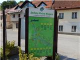 2
2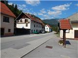 3
3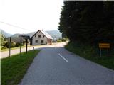 4
4 5
5 6
6 7
7 8
8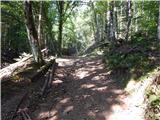 9
9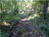 10
10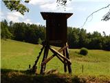 11
11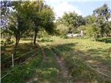 12
12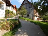 13
13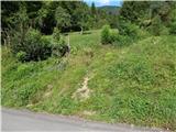 14
14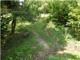 15
15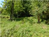 16
16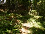 17
17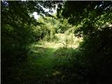 18
18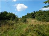 19
19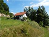 20
20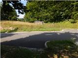 21
21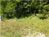 22
22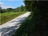 23
23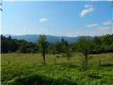 24
24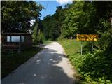 25
25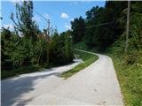 26
26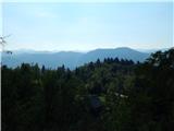 27
27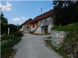 28
28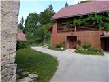 29
29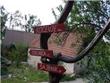 30
30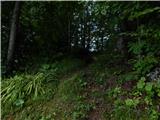 31
31 32
32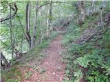 33
33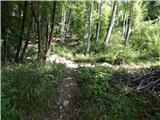 34
34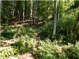 35
35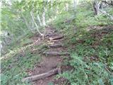 36
36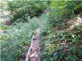 37
37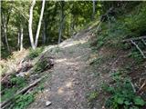 38
38 39
39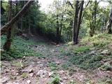 40
40 41
41 42
42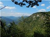 43
43 44
44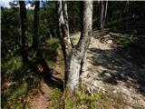 45
45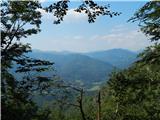 46
46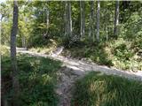 47
47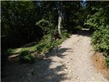 48
48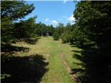 49
49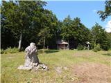 50
50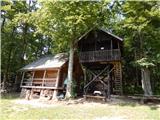 51
51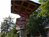 52
52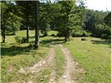 53
53 54
54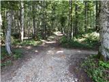 55
55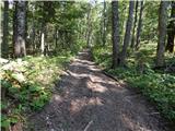 56
56 57
57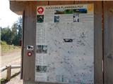 58
58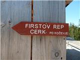 59
59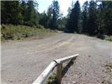 60
60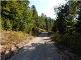 61
61 62
62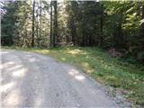 63
63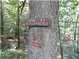 64
64 65
65 66
66 67
67 68
68 69
69 70
70 71
71 72
72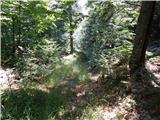 73
73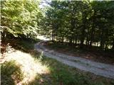 74
74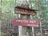 75
75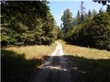 76
76 77
77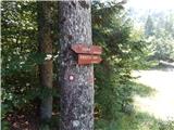 78
78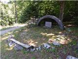 79
79 80
80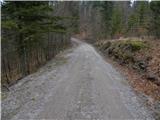 81
81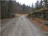 82
82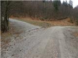 83
83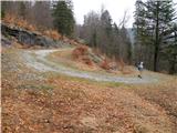 84
84 85
85 86
86 87
87 88
88 89
89 90
90 91
91 92
92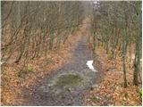 93
93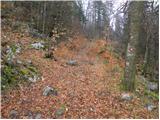 94
94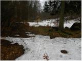 95
95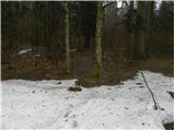 96
96 97
97 98
98 99
99 100
100 101
101 102
102 103
103
Discussion about the trail Osilnica - Cerk