Ocinje - Apneni breg (mimo Slatinskega vrelca Ocinje)
Starting point: Ocinje (292 m)
| Lat/Lon: | 46,82254°N 16,00183°E |
| |
Name of path: mimo Slatinskega vrelca Ocinje
Time of walking: 30 min
Difficulty: easy unmarked way
Altitude difference: 60 m
Altitude difference po putu: 75 m
Map: Pomurje 1:40.000
Recommended equipment (summer):
Recommended equipment (winter):
Views: 6
 | 1 person likes this post |
Access to the starting point:
Path description:
Pictures:
 1
1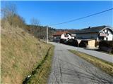 2
2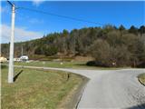 3
3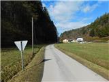 4
4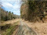 5
5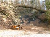 6
6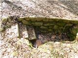 7
7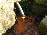 8
8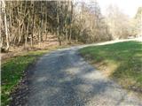 9
9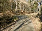 10
10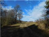 11
11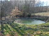 12
12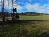 13
13 14
14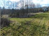 15
15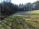 16
16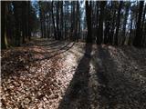 17
17 18
18 19
19 20
20
Discussion about the trail Ocinje - Apneni breg (mimo Slatinskega vrelca Ocinje)