Mežica - Jesenik (Jesenikov vrh) (via saddle Vrh šteng)
Starting point: Mežica (495 m)
| Lat/Lon: | 46,5214°N 14,8518°E |
| |
Name of path: via saddle Vrh šteng
Time of walking: 2 h
Difficulty: easy unmarked way
Altitude difference: 704 m
Altitude difference po putu: 704 m
Map: Koroška 1:50.000
Recommended equipment (summer):
Recommended equipment (winter): ice axe, crampons
Views: 828
 | 1 person likes this post |
Access to the starting point:
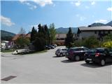
From Črna na Koroškem or from Raven na Koroškem, or via the Holmec or Mežica border crossing, drive to the centre of Mežica, where you park in the parking lot next to Trg svobode.
Path description:
From the starting point, take the one-way road that passes the parish church of St James on the left. You will quickly see the first signs along the road, and follow the signs for Peca at the crossroads. After crossing the stream Šumec, leave the road and cross a small wooden bridge and continue slightly right into the forest. There is a short climb through the forest and then you reach a macadam road, which you follow to the end of a left-hand serpentine. After the serpentine, climb through the lane of the forest, then climb along the edge of the forest for a while. In the part where you climb along the edge of the forest, the markings are sparse or absent for a while, but when the path returns to the forest, the markings also return.
Higher up, we reach a small hamlet where the path leads us past a water trough, and we follow the road up to the track of the former ski slope. Here, signs point us left to the ski slope, which we then climb with beautiful views. Higher up, the trail takes us into the woods and then back to the ski slope, which we finally leave just a little further on.
Continue right on cart track, which passes into the forest, and continue ascending cross-country to the right. Climb along this path for some time before reaching the Vrh šteng pass, where there is a marked crossroads and a suitable place for a short rest.
From the top of Šteng, where you leave the marked trail towards Pec, continue left on the worse road (not sharp left on cart track and not left on the wider road, along which there are signs for Koča na Pikovem), from which you go a little further left on the older, partly already grassy logging trail. Follow logging trail steeply up to the west ridge of Jesenik, which is then followed up a fainter track, over which fallen trees lie in several places (the consequences of the windstorm of December 2017). Follow this track, which is quite steep at times, all the way to the top.
The description and pictures refer to the situation in 2018 (April and May).

Pictures:
 1
1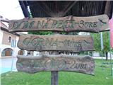 2
2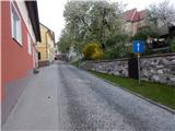 3
3 4
4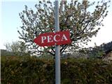 5
5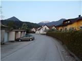 6
6 7
7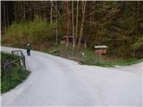 8
8 9
9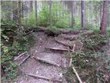 10
10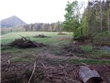 11
11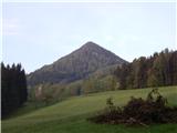 12
12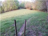 13
13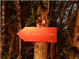 14
14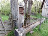 15
15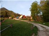 16
16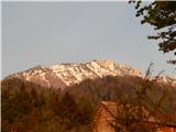 17
17 18
18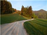 19
19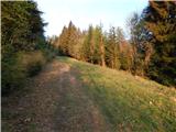 20
20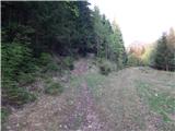 21
21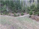 22
22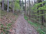 23
23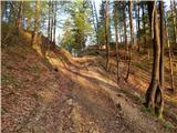 24
24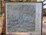 25
25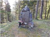 26
26 27
27 28
28 29
29 30
30 31
31 32
32 33
33 34
34 35
35 36
36
Discussion about the trail Mežica - Jesenik (Jesenikov vrh) (via saddle Vrh šteng)