Maribor - Petnikov vrh (on path over Kozjak)
Starting point: Maribor (275 m)
| Lat/Lon: | 46,564°N 15,6481°E |
| |
Name of path: on path over Kozjak
Time of walking: 3 h 30 min
Difficulty: easy marked way
Altitude difference: 328 m
Altitude difference po putu: 810 m
Map: Pohorje 1:50.000
Recommended equipment (summer):
Recommended equipment (winter):
Views: 4.429
 | 2 people like this post |
Access to the starting point:
The start of the route can be practically in the centre of the city at the beginning of the city park by the sign for the Kozjak trail, or anywhere in the park up to Treh rybniki.
By car, exit Melje on the expressway through Maribor and continue along the railway station, at the first junction without traffic lights turn left along Tomšičeva Street, also the famous alley in the direction of Ribniško selo and park the vehicle somewhere near the park.
Path description:
At the beginning of the City Park, by the sign "The path over Kozjak", or by the Three Ponds, there is a concrete start of the route. It is easy to follow the mountain trail practically from the urban Maribor itself through Ribniško selo. At the top of Ribniško selo at the junction with Vinarji, right into the forest and under Marin's and Kaufman's banks, simply follow the well-marked and also undulating, "hilly", path. Soon you reach the top of the Rošpoh settlement, followed by a descent into the valley, where you cross the Kamnica - Kungota road.
Continue up by the chapel, past a large farmhouse with orchards, along an asphalt road. St. Urban is somehow practically in sight all the time and, with the excellent signposting of the path, the church of St. Urban is reached at a leisurely pace.
After a tour of the surroundings of St. Urban, we continue from the crossroads in the direction of Gaja nad Maribor. After a rough, mainly asphalt road, you reach the Nabašec crossroads and continue to the left (to the right is the direction to Kungota). Follow the asphalt road to the crossroads, where you continue straight up. . . direction sign Večernik. The trail is a macadam/forest road in this part and soon at the Večernik homestead (on the left side of the trail) you reach the Gaj nad Mariborom settlement, followed by an easy final climb to the Sveti Križ church.
From the church continue down the road towards the cemetery at Gaj. Turn left at the junction with the road and after a few dozen metres at the first crossroads turn right downhill under one of the farmhouses. We are in the woods for a short distance and when we leave the woods, by the wooden cross on the right hand side, we go up an unmarked but partially moulded path to the top, where there is an antenna system visible from a distance with the associated ground equipment. It is movable, perhaps no longer there. The summit does not allow views. The path from Sv. Križ to Petnikov vrh is not marked.
The trail is approximately 13,5 kilometres long, 810 positive vertical metres and 480 negative vertical metres (starting from the City Park).

Pictures:
 1
1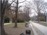 2
2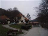 3
3 4
4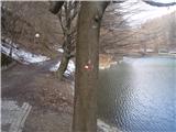 5
5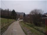 6
6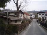 7
7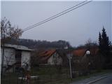 8
8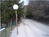 9
9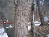 10
10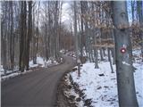 11
11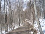 12
12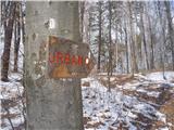 13
13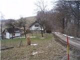 14
14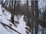 15
15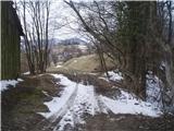 16
16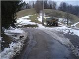 17
17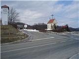 18
18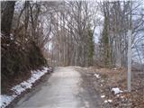 19
19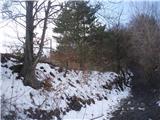 20
20 21
21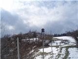 22
22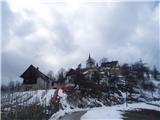 23
23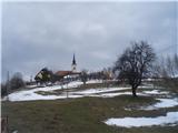 24
24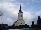 25
25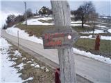 26
26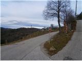 27
27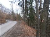 28
28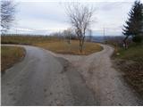 29
29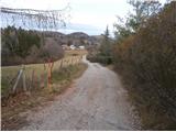 30
30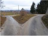 31
31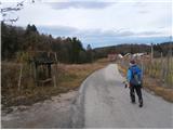 32
32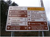 33
33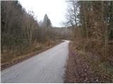 34
34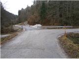 35
35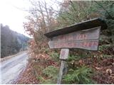 36
36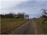 37
37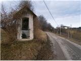 38
38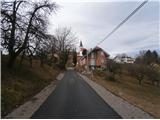 39
39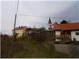 40
40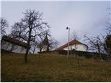 41
41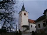 42
42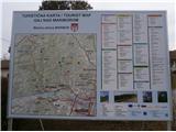 43
43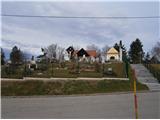 44
44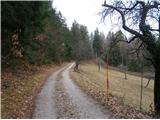 45
45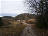 46
46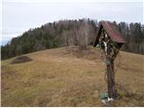 47
47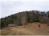 48
48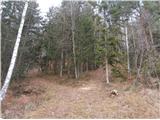 49
49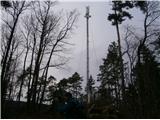 50
50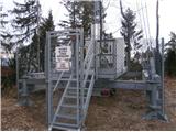 51
51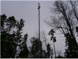 52
52
Discussion about the trail Maribor - Petnikov vrh (on path over Kozjak)
|
| bruny25. 03. 2014 |
Seveda, Petnikov vrh ni ravno točka na katero bi iz Maribora hodil tri ure. V širšem kontekstu poti skupaj z Urbanom in Gajem pa vsekakor vredna skoka na vrh. Dobro, to najkrajšo nedeljo v letu 2013, 22.12.2013 je bilo sva s kolegom solidno izkoristila. Dosegljiv je bil še vsekakor Pohernikov vrh in tudi mejni kamen X/99, ki je po kartah in virih nekje najbližji centru Maribora in se ostro zajeda v slovenski geografski prostor, ampak izziva sva pustila za kdaj drugič. Vsekakor po svoje zanimiv, morda rahlo zapostavljen svet v hitrem tempu življenja med Kozjakom in Slovenskimi goricami je to. Lp
|
|
|