Makekova Kočna - Murijeva planina
Starting point: Makekova Kočna (945 m)
| Lat/Lon: | 46,3856°N 14,5045°E |
| |
Time of walking: 1 h
Difficulty: easy unmarked way
Altitude difference: 344 m
Altitude difference po putu: 344 m
Map: Kamniške in Savinjske Alpe 1:50.000
Recommended equipment (summer):
Recommended equipment (winter): ice axe, crampons
Views: 1.799
 | 2 people like this post |
Access to the starting point:
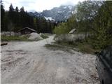
First, drive to Preddvor or to the settlement of Tupaliče (reachable from the Gorenjska highway or Kranj), then continue driving in the direction of Jezersko. When you reach Zgornje Jezersko, at the part where the road is laid, leave the main road and continue to the right in the direction of the ecological tourist farm Makek, Češka hut, Veliki vrh and the Čedca waterfall (leave the main road before the Petrol petrol station). Just after the turnoff from the main road, first descend a little and then follow the road in the direction of the Makek farm. The road then starts to climb and we follow it to a small crossroads where the road continues to the left towards the Makek farm, and in a straight direction the road continues past the trail to the Čedca waterfall and past the trail to Velika vrh. Park in a suitable place near the crossroads so as not to interfere with the frequent forestry work.
Path description:
From the starting point, continue along the road on the right, which crosses the torrent and continues along the former ski slope. Leave the road at the outlet of the former ski slope and turn right onto a traceable path that ascends the old ski slope. Higher up, the track turns slightly right and crosses a short overgrown section, after which you reach a better-beaten track leading from the farm Mlinar or the hamlet Ravne. The path continues along the route of the former ski lift and climbs steeply in places, then leads to a macadam road (you can also get here by following the road, which makes a longer detour). Once on the road, follow it to the right, and we follow it to the marked trail junction to Velika vrh.
The path ahead leads us along cart track, and then the markings point us right off it onto a well-trodden path that gradually turns into a dense forest. When the forest ends, we enter a clearing in the middle of which is a wooden hut, which is part of the nearby Murijeva mountain pasture.
Description and pictures refer to the situation in 2016 (April).

Pictures:
 1
1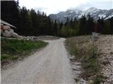 2
2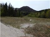 3
3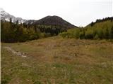 4
4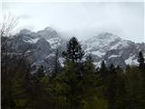 5
5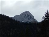 6
6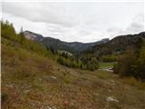 7
7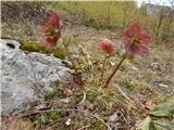 8
8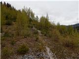 9
9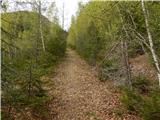 10
10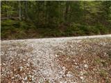 11
11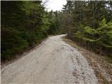 12
12 13
13 14
14 15
15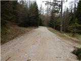 16
16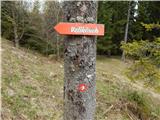 17
17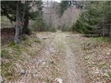 18
18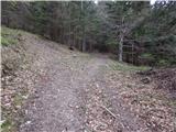 19
19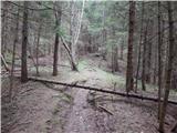 20
20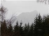 21
21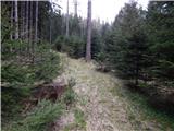 22
22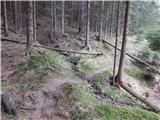 23
23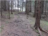 24
24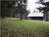 25
25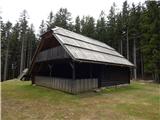 26
26
Discussion about the trail Makekova Kočna - Murijeva planina