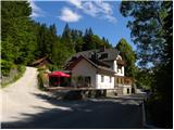
Starting point: Legastja (438 m)
| Lat/Lon: | 46,1072°N 14,3498°E |
| |
Time of walking: 1 h 40 min
Difficulty: easy marked way
Altitude difference: 336 m
Altitude difference po putu: 415 m
Map: Škofjeloško in Cerkljansko hribovje 1:50.000
Recommended equipment (summer):
Recommended equipment (winter): crampons
Views: 4.155
 | 1 person likes this post |
Access to the starting point:
a) From Ljubljana, Kranj or Vodice, drive to Medvode and from there continue to Sora. At the crossroads at the beginning of Sora, just after the small bridge, turn left in the direction of Katarina and the village of Trnovec. Continue along the valley of the Ločnica towards Katarina (Topol), and we follow it to the Legastja Inn, near which we park in a suitable place along the road (the parking lot next to the inn is reserved for guests).
b) First we drive to Škofja Loka, and from there we continue our drive to Sora. At the end of Sora, turn right towards Katarina and the village of Trnovec. Continue along the valley of the Ločnica towards Katarina (Topol), and we follow it to the Legastja Inn, near which we park in a suitable place along the road (the parking lot next to the inn is reserved for guests).
Path description:
From the starting point at the Legastja Inn, first cross the road carefully and then take the footpath towards Sv. Jakob. The path first climbs up the grassy cart track, which leads us between hayfields and pastures, and then lays down and leads us to a small hamlet, where we step onto an asphalt road. Continue between a few houses, after which the asphalt road turns into a cart track, which leads up to the nearby goats' huts. At the goats' huts, signs direct us slightly to the left, onto a path which continues to climb through a meadow. The trail is easy to follow, but in times of high grass it is a little overgrown, and after a few minutes it leads to another asphalt road, which is reached at a small crossroads with a cross by it. Continue along the left-hand side of the cross, following the ascending road, which quickly leads to a hamlet of a few houses and a marked crossroads at them.
From the crossroads, continue straight ahead and follow the road for a few minutes (10 minutes shorter on the left). When the road makes a right turn in the forest, leave it and continue straight on the slightly steeper marked path, which climbs through the forest and leads us a little higher past the water tower. From here it is a few minutes' climb through the woods before arriving at the edge of a meadow, where the path turns right. Cart track, which we follow, leaves the path in a slight left turn, as the markings direct us to the right onto a path which crosses the slopes to the right. After a short crossing, get on the dirt road and follow it to the right. The dirt road quickly leads to a crossroads, from which you continue along the upper left road in the direction of Sv. Jakob and Brezovica. From the asphalt road, we soon have a view towards St. Jakob, which is already visible to our left, and we follow the road to the village of Brezovica.
At the upper part of the settlement there is a marked crossroads, where we continue to the right in the direction of Katarina (on the left Sv. Jakob) and continue along a narrow macadam road, which we walk along only for a short time, as we will soon reach an unmarked branch of the trail leading to Róg. The footpath branches off the road slightly to the left and continues parallel to it at first, then climbs steeply and leads to a vast and scenic hayfield. Continue slightly left across the hay meadow and then slightly left again on the other side (St Catherine's Church on the right). The path continues through lane of woods and scrub and then leads to the grassy ridge of the Roga, which quickly leads to the summit, at the edge of which there is a large cross. From Roga continue eastwards along the path which begins to descend steeply through the lane of a forest. The forest ends quickly, and the path continues descending through a hayfield. When the path is level, we reach cart track, and we walk along it to a hut located at the edge of the forest. We go around the byte on the left and first climb moderately, then gradually start descending through the forest, and lower down through another hayfield. When the path is laid again, you will come to a bench with a table and a few metres further on to a macadam road, which you reach just at a small crossroads.
Once on the road, continue straight ahead (Kozomer Farm on the left, St Catherine's Church on the right), and we will quickly reach the crossroads by the chapel.
From this crossroads, which is located at the edge of the forest, continue straight on the macadam road in the direction of Jeterbenk (slightly left Žlebe, slightly right Slavkov dom na Golem Brdu), which will quickly take you to the weekend house.
After the weekend, continue along the steep mountain path that climbs through the forest and which is joined just a few steps below the summit by the path from Slavkov's home at Golem Brdo and the path from Žleb "along the ridge".
From this crossroads, continue to the left and in a few steps reach the Jeterbenk peak, from which a beautiful view opens up.

Pictures:
 1
1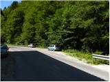 2
2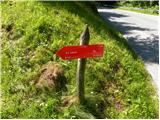 3
3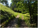 4
4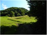 5
5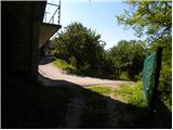 6
6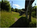 7
7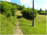 8
8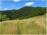 9
9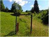 10
10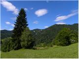 11
11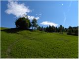 12
12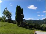 13
13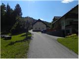 14
14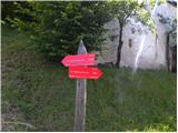 15
15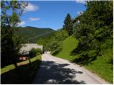 16
16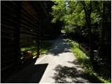 17
17 18
18 19
19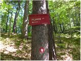 20
20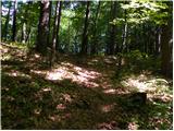 21
21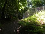 22
22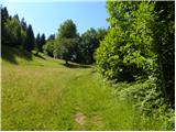 23
23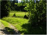 24
24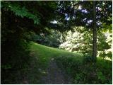 25
25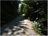 26
26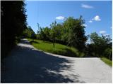 27
27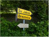 28
28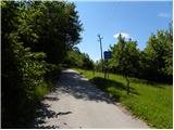 29
29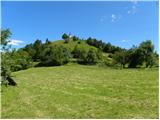 30
30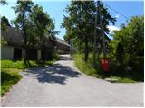 31
31 32
32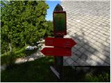 33
33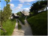 34
34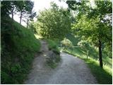 35
35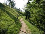 36
36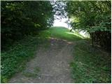 37
37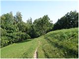 38
38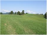 39
39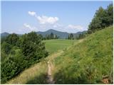 40
40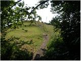 41
41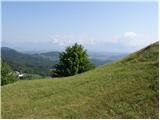 42
42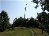 43
43 44
44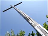 45
45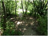 46
46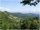 47
47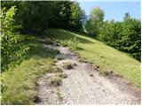 48
48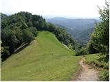 49
49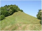 50
50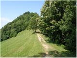 51
51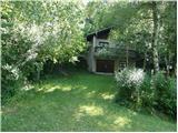 52
52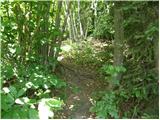 53
53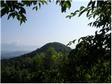 54
54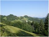 55
55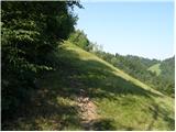 56
56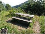 57
57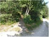 58
58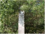 59
59 60
60 61
61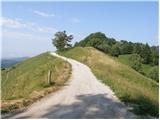 62
62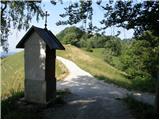 63
63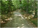 64
64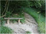 65
65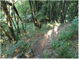 66
66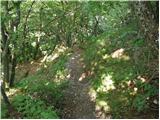 67
67 68
68 69
69 70
70 71
71
Discussion about the trail Legastja - Jeterbenk