Ladinger Straße - Zechhütte
Starting point: Ladinger Straße (1365 m)
| Lat/Lon: | 46,8399°N 14,7111°E |
| |
Time of walking: 35 min
Difficulty: easy marked way
Altitude difference: 147 m
Altitude difference po putu: 147 m
Map: WK 237 Saualpe-Lavanttal-Koralpe 1:50.000
Recommended equipment (summer):
Recommended equipment (winter): ice axe, crampons
Views: 88
 | 1 person likes this post |
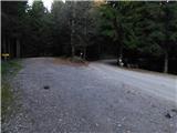
Access to the starting point:
Path description:
Pictures:
 1
1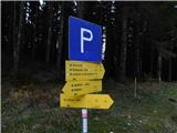 2
2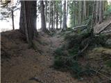 3
3 4
4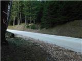 5
5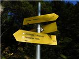 6
6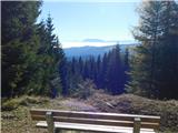 7
7 8
8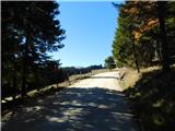 9
9 10
10 11
11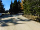 12
12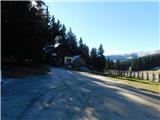 13
13
Discussion about the trail Ladinger Straße - Zechhütte