Kropa - Partisan cottage on Vodiška planina (via Jamnik)
Starting point: Kropa (494 m)
| Lat/Lon: | 46,2906°N 14,2047°E |
| |
Name of path: via Jamnik
Time of walking: 2 h 35 min
Difficulty: easy marked way
Altitude difference: 614 m
Altitude difference po putu: 800 m
Map: Škofjeloško in Cerkljansko hribovje 1:50.000
Recommended equipment (summer):
Recommended equipment (winter): ice axe, crampons
Views: 12.773
 | 1 person likes this post |
Access to the starting point:
a) From Ljubljana, take the Gorenjska motorway to Jesenice, and follow it to the Ljubelj (Podnart) exit. Continue on the expressway towards Ljubelj, and we turn right at the first exit, where we quickly reach a roundabout, from which we continue in the direction of Podnart and Kropa. The road then takes us through an underpass under the motorway and leads us a little further on to a junction where we join the road from Nakleg. Here we turn right and continue along the road, which gradually starts to descend. In the middle of the descent we come to a crossroads where we turn sharp left (towards Kropa) and then immediately after the bridge over the Sava River we turn left again (right Podnart). Continue along the Lipnica river and follow the road to the crossroads where the road to Kamna Gorica branches off to the right. Here, turn left towards Kropa and follow the road through the above-mentioned place. Just a few metres before the house with house number 7, you will see a sports field on the left and a parking lot underneath, where you park.
b) From the Gorenjska direction, leave the motorway towards Ljubljana at the Brezje exit and follow the signs towards Kropa. Park in the parking lot next to the sports ground in Kropa.
Path description:
From the parking lot, walk to the house number 7, then turn left along the asphalt road. The road quickly turns to gravel, and we follow it up to the Church of Our Lady of Kropar.
From the church, follow cart track, which ascends crosswise to the left over a relatively steep slope. Higher up, climb onto a woded ridge, where you continue sharp right in the route Jamnik (left Brezovica, straight Češnjica). Continue along the cart track, which continues to climb along a relatively steep ridge. Slightly higher, you reach a memorial, after which the path descends slightly and then starts to climb steeply. Cart track is followed for a few minutes, then the marked path turns slightly left into a dense forest, through which it climbs up a torrential gully. The path then lays down and quickly leads to an asphalt road leading from Kropa towards Jamnik.
Follow the road to the left and it quickly leads out of the forest onto slopes that are partly overloked. Follow the road for a few minutes and then, just a few metres after the Jamnik sign (the sign marking the beginning of the village), turn right onto the ascending cart track towards Vodice. Continue on the cart track, which climbs crosswise to the left, and after about 15 minutes' walk leads to a crossroads where the path from the village of Jamnik joins us. Here continue slightly right (direction Meta, Vodice) and follow the relatively new tractor track logging trail to the nearby forest road, which you follow to the right. Continue climbing along the road for some time, and then, just after a sharp left turn, the markings and signs for Vodice direct us right onto the ascending cart track. Cart track gradually narrows and we follow it at the crossroads in the direction of Vodice. The path then lays down and continues to lead us through the plateau-like world of woded Jelovice.
From the old dirt track, after a while the signs for Vodice direct us to the right onto a well-traced footpath which gradually climbs to the ridge of Zidane skala. Walk along the ridge for a while and then arrive at the Zidana skala lookout point, which offers a beautiful view of Karawanks and the Kamniško Savinjske Alps. From the viewpoint, the path returns to the forest, which continues to climb along the edge of very steep and, especially in the wet, dangerous slopes. The path continues to climb for a few minutes, then turns slightly to the right and begins to descend relatively steeply. During the descent, you are still walking along the edge of the steep slopes, which are dangerous for slipping, and the memorial of the unfortunate hiker reminds you of this. The path then gradually flattens out and leads to the NOB memorial, where it joins a wider dirt track.
Here, turn right and continue along cart track, which after a few minutes begins to descend steeply towards Vodiška mountain pasture. After a short descent, the path is laid and leads to the above-mentioned mountain pasture, in the middle of which stands the Partisan Home.

Pictures:
 1
1 2
2 3
3 4
4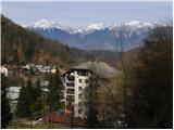 5
5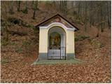 6
6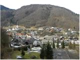 7
7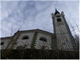 8
8 9
9 10
10 11
11 12
12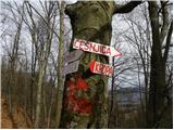 13
13 14
14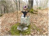 15
15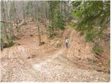 16
16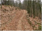 17
17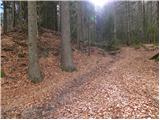 18
18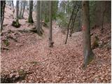 19
19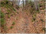 20
20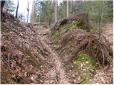 21
21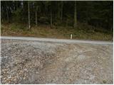 22
22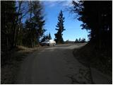 23
23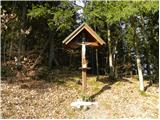 24
24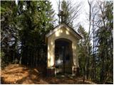 25
25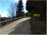 26
26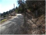 27
27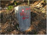 28
28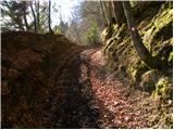 29
29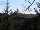 30
30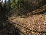 31
31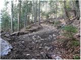 32
32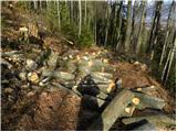 33
33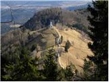 34
34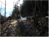 35
35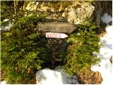 36
36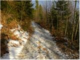 37
37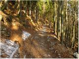 38
38 39
39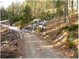 40
40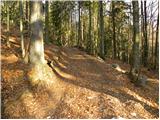 41
41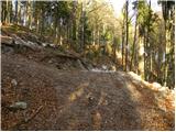 42
42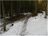 43
43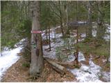 44
44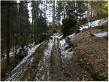 45
45 46
46 47
47 48
48 49
49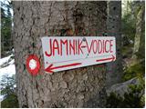 50
50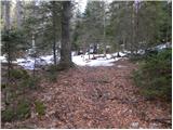 51
51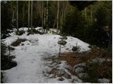 52
52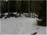 53
53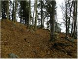 54
54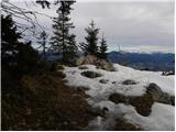 55
55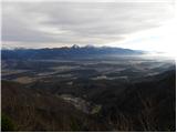 56
56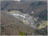 57
57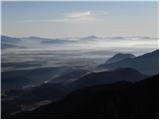 58
58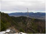 59
59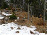 60
60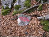 61
61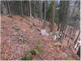 62
62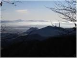 63
63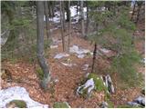 64
64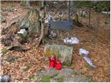 65
65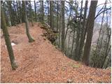 66
66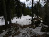 67
67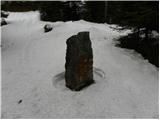 68
68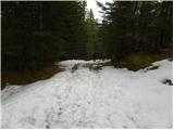 69
69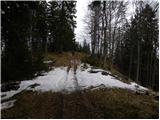 70
70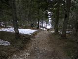 71
71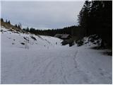 72
72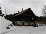 73
73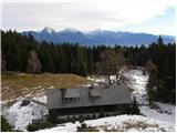 74
74
Discussion about the trail Kropa - Partisan cottage on Vodiška planina (via Jamnik)