Kranjski Rak - Gradišče (Velika planina) (footpath)
Starting point: Kranjski Rak (1029 m)
| Lat/Lon: | 46,283°N 14,6884°E |
| |
Name of path: footpath
Time of walking: 2 h 10 min
Difficulty: easy marked way
Altitude difference: 637 m
Altitude difference po putu: 660 m
Map: Kamniške in Savinjske Alpe 1:50.000
Recommended equipment (summer):
Recommended equipment (winter): ice axe, crampons
Views: 108.363
 | 2 people like this post |
Access to the starting point:
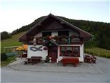
a) First, drive to Kamnik, then continue driving towards the Črnivec Pass. Just a few 100 m before the pass, you will see signs for Kranjski Rak, which direct you sharp left onto a narrow and initially quite steep road. The road is higher and then leads us to the Volovljek Pass, where we park near the Kranjski Rak guesthouse (parking in front of the guesthouse is only allowed for guests).
b) From Gornji Grad, drive towards Kamnik, and then, just a few 100 m after the Črnivec Pass, turn right in the direction of Kranjski Rak. Continue as described above.
c) From the Savinjska valley, first drive to Luce, then continue towards Kamnik. When you reach the Volovljek pass, park in a suitable place next to the Kranjski Rak guesthouse (only guests are allowed to park in front of the guesthouse).
Path description:
From the Volovljek Pass continue westwards along the macadam road in the direction of Velika planina, Jarško, Črnuško, Domžale and Doma na Kisovcu. The road initially leads us along a pasture, then into the forest, where a marked footpath branches off to the left. Continue along the above-mentioned path, which first climbs slightly steeper through the forest and then joins the cart track, where the path is laid. Walk along cart track for a few minutes and then along a pleasant forest path which descends higher up to a dirt road. The road reaches a crossroads where the road to Dom na Kisovcu continues to the left, in a straight direction after a few 10 metres you reach the large parking lot of Rakove ravni (the road continues on towards Marjanini njiva, Ušivec parking lot, mountain pasture Dol. . . ), and to the right the road leads back to the Volovljek Pass.
Continue along the road leading to Kisovec and then walk parallel to the road leading to the large parking lot and on to Marjana's fields. After a short walk along the edge of the meadow, the path turns into the woods, where the path gradually becomes more visible and the markings reappear (the part of the path from the road crossing to the woods is poorly marked, if at all). After a few minutes of walking through the woods, you reach a place where you cross an electric shepherd's hut, and after it, you turn onto a dead end of the road that leads to a nearby cottage or two. When the road ends, the path returns to the woods, which begin to climb steeply. At a higher altitude, we reach cart track, which leads from Marjana's fields towards Gojška planina, and we follow it to the left and walk along it to the animal watering place at Gojška mountain pasture.
Go around the watering trough on the left, then go slightly left (right upper part of Gojška planina) on the ascending footpath. This pleasant and increasingly scenic path climbs through an extensive grazing area before crossing one of the dirt roads. On the other side of the road, the path gradually climbs moderately and then approaches the road leading to Jarško and Domžale. Before entering the road, turn left and after a further walk of some 10 steps you will reach the Jarško Home. Go around the lodge on the left and then continue your ascent along a wide path that climbs gently through a sparse forest. After a few minutes, the path to the Črnuška Home branches off to the left, and we continue straight ahead, following the wide path all the way to the Domžale Home at Mali mountain pasture.
The path then descends into a small valley, where we rejoin the broad path (almost a road). Continue to the right and follow the path to a less well-marked fork in the path, where a path forks off to the left in the direction of the Gradiščkovi shepherd's hut. After a short climb, the path leads to the above-mentioned settlement, from which you continue along a poorly visible but marked path. The way forward leads us past numerous benches, up a moderately steep slope. Soon the path leads us between two peaks, where we continue slightly to the right. In the middle of the ascent, we see a sign saying chairlift right (to the left, in the direction of our ascent, a shepherd's settlement). Continue in the direction of the chairlift along the path which quickly leads to the summit slope Velika planina. Here we continue to the right along the marked path which, after a few steps, leads us to Gradišče.

Pictures:
 1
1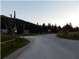 2
2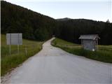 3
3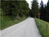 4
4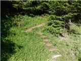 5
5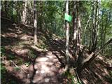 6
6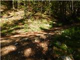 7
7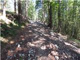 8
8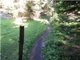 9
9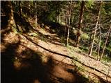 10
10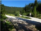 11
11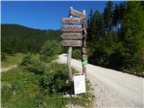 12
12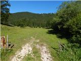 13
13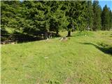 14
14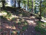 15
15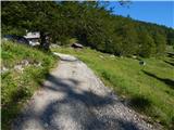 16
16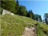 17
17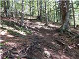 18
18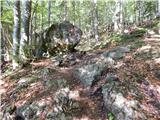 19
19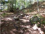 20
20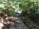 21
21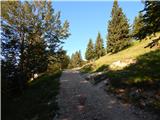 22
22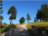 23
23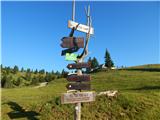 24
24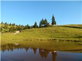 25
25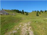 26
26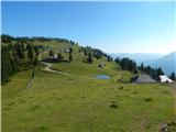 27
27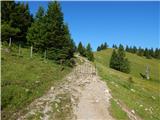 28
28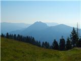 29
29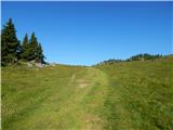 30
30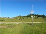 31
31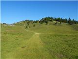 32
32 33
33 34
34 35
35 36
36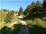 37
37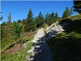 38
38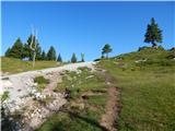 39
39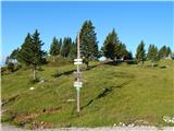 40
40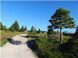 41
41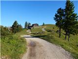 42
42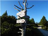 43
43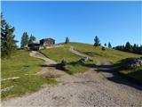 44
44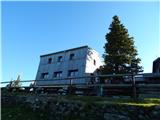 45
45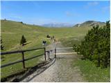 46
46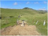 47
47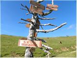 48
48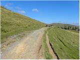 49
49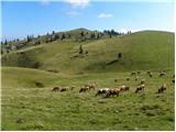 50
50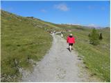 51
51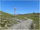 52
52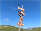 53
53 54
54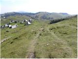 55
55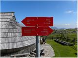 56
56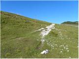 57
57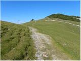 58
58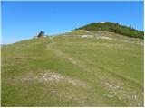 59
59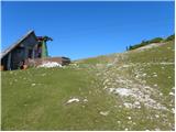 60
60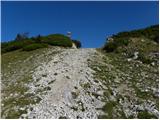 61
61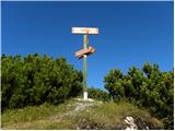 62
62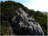 63
63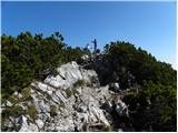 64
64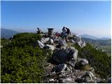 65
65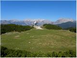 66
66
Discussion about the trail Kranjski Rak - Gradišče (Velika planina) (footpath)
|
| Zemlja30. 03. 2020 |
Samo nasvet za tiste, ki ne poznate poti do izhodisca - skozi Kamnik se drzite oznak za Veliko planino, ki vas pripeljejo do Kranjskega raka. Google maps vas namrec lahko zavede (pod Crnivec pass vas ne bo pripeljal prav). 
|
|
|
|
| Enka30. 03. 2020 |
Hm, kako te oznake za Veliko planino pripeljejo do Kranjskega raka? To drži samo do Stahovice (skozi Kamnik namreč res ni oznak za Črnivec in je smer VP prava), od tam naprej pa ta smer ne bo več prava  . Google maps pelje čisto OK, le zaviti je treba že PRED Črnivcem, kar v opisu tudi lepo piše. Skratka, opis poti do izhodišča je povsem korekten.
|
|
|
|
| Stamp24. 10. 2021 14:29:49 |
Zaokružena verzija, S Raka na Gojško, pa na Dovje raven, na Veliko in na koncu na Malo : Track na TU 14km, lagano, 6h brutto..
|
|
|
|
| krempač10. 03. 2025 15:55:36 |
Dober dan,
kako daleč proti izhodišču Kranjski Rak je možno s turističnim avtobusom ? Seveda v kopnih razmerah, turo imamo v planu konec maja. V naprej hvala za odgovor in lep pozdrav.
|
|
|
|
| Klinar2710. 03. 2025 21:15:48 |
Avtobus pride brez problema do Kranjskega Raka, celo višje do parkirišča Rakove Ravni
|
|
|