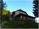
Starting point: Koschutahaus (1280 m)
| Lat/Lon: | 46,4517°N 14,3875°E |
| |
Time of walking: 40 min
Difficulty: easy unmarked way
Altitude difference: 237 m
Altitude difference po putu: 240 m
Map: Karavanke - osrednji del 1:50.000
Recommended equipment (summer):
Recommended equipment (winter): ice axe, crampons
Views: 2.535
 | 1 person likes this post |
Access to the starting point:
From the motorway Ljubljana - Jesenice take the exit Ljubelj (Tržič) and then continue in the direction of Klagenfurt / Klagenfurt. After the Ljubelj tunnel, the road starts to descend and we follow it to a junction where the road to Borovlje / Ferlach branches off slightly to the right and downwards. The road continues to descend and quickly leads us to the aforementioned place, where we soon cross the railway line. Just after the railway line, we join another road, which we follow to the right, and we follow it towards Sele / Zell-Pfarre. Just before we reach the point, the signs for Koschutahaus direct us to the right onto what was originally still an asphalt road. Higher up, the road passes through a small hamlet and then the asphalt ends. The dirt road is then followed all the way to the parking lot at the Koča pod Košuto. Road use is EUR 4 for cars and vans, EUR 2 for mopeds and motorbikes (June 2013), payable at the Koča pod Košuto.
Path description:
From the huts, continue left into the forest, where the path quickly leads to a marked crossroads. From the crossroads continue left (right Ridovc / Ridovcsäge, Maleejska mountain pasture / Malealm, Pesšinca saddle / Pischenzasattel. . . ) in the direction of Cjajnik and Koschutnikturm / Koschutnikturm along the path that climbs crosswise to the left. After a few minutes, you reach the next crossroads, where you continue straight on in the direction Koschutnikturm (Cjajnik on the right).
The trail begins to climb a little more and, with occasional views of the Košuta walls, leads us to the saddle Mejnik / Mejniksattel, where we leave the marked trail.
From the saddle, continue left along the initially well-traced forest path, which quickly leads to pastures where sheep graze in the summer season. The pasture offers a beautiful view of Obir and the ridge and walls of the Košuta behind us. On the other side of the pasture, the path returns to the forest and leads us past a small cross to a wooded peak, which is recognisable by a concrete milestone.

Pictures:
 1
1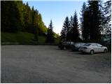 2
2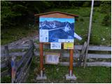 3
3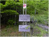 4
4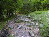 5
5 6
6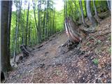 7
7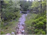 8
8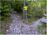 9
9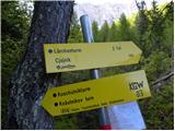 10
10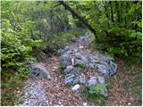 11
11 12
12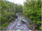 13
13 14
14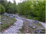 15
15 16
16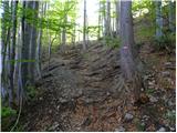 17
17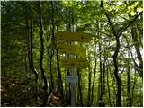 18
18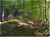 19
19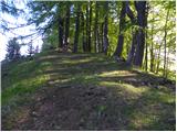 20
20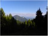 21
21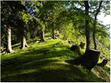 22
22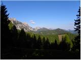 23
23 24
24 25
25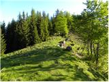 26
26 27
27 28
28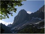 29
29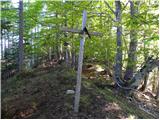 30
30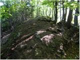 31
31 32
32
Discussion about the trail Koschutahaus - Mejnik