Koroška Bela (RC Kres) - Potoška planina (hunting path Čez skalo)
Starting point: Koroška Bela (RC Kres) (630 m)
| Lat/Lon: | 46,4307°N 14,0982°E |
| |
Name of path: hunting path Čez skalo
Time of walking: 2 h
Difficulty: partly demanding unmarked way
Altitude difference: 640 m
Altitude difference po putu: 640 m
Map: Karavanke - osrednji del 1 : 50.000
Recommended equipment (summer):
Recommended equipment (winter): ice axe, crampons
Views: 1.884
 | 3 people like this post |
Access to the starting point:
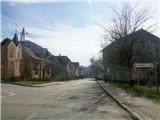
From the motorway Ljubljana - Jesenice take the exit Lipce (Jesenice East) and turn right, towards Jesenice. At the first traffic lights (Slovenski Javornik) turn right towards Lj. Follow the second traffic-lighted junction and turn left to go under the railway underpass. At the next smaller junction, turn right towards Koroška Bela. At the chapel on the left, follow the signs "Church, Hostages Park" and turn left. The road leads you higher up, around a double bend, into the centre of the village, where the chapel stands. From here, continue straight on past the bridge over the Bela stream on the right. At the next crossroads turn sharp left, uphill, where you cross another road (Koroška ulica) and continue until you reach the area at the end of the village, where you come across the abandoned tennis courts (RC Kres).
Path description:
From the starting point, go back along the road to the junction with Koroška Street, where you turn left. After a short distance, join the main road, which continues past the last houses in the northern part of the village. As the road climbs gently, it turns into a stone cart track, which leads past a water reservoir on the right, towards the valley headland. The path along the forest edge soon leads to a crossroads by a stream, where it continues to the left. A little higher up, the path crosses a right tributary of the brook and continues in a gentle ascent to the next nearby crossroads, where you continue right along the brook (slightly left Debelo brdo). The occasional cart track (trains) like path along the brook first crosses another right tributary from the left, and then takes you through a short gorge. When the valley widens again, cross the stream and follow the train, which briefly leaves the stream bed. Higher up, the path approaches the stream again, and at a slightly larger rock, it seemingly flows out into it. Cross the stream here and continue along the left side (right bank) for a short distance before crossing again to the right side (left bank), where the path becomes traceable again. When you get just a little higher into the woods, the path gives way to the stream and turns right onto a wooded slope. After a short climb, the path turns right again, widens and crosses the slope to the south as it climbs. A hunting lodge can be seen on the right, a little lower down, and soon the remains of a steel cable can be seen above which the path continues to the right, along a path that is a little harder to follow and which, as it climbs, continues to cross the slope in the same direction. When the steepness subsides, the path disappears at a small stream, and we emerge from the forest onto a slightly marshy meadow (Spodnji rovti). After crossing the meadow (without a path), we reach the eastern part of the rovti, where we turn left (north), uphill towards the end of the meadow, where we see a partly rocky peak (also called Zgornji Obešnik) in front of us (Zgornji Obešnik). Before the path seen here, which turns slightly right, leads us back into the forest, take a perpendicular left, and cross the southern foot of the slope of the summit to the north-west (pathless). Shortly after reaching the western edge, a boulder, several metres high and upright, is seen on the slope to the right, which is ascended. Here a narrow track is encountered, which climbs up and initially crosses a steep slope to the north. Soon the path turns to the right and, a little higher up, leads to a rocky and open part of the slope, where views open up on several sides. Beyond the rocky area, the path turns left at a slightly exposed part, onto a rather steep, vegetated slope. Once you reach the top, you can enjoy beautiful views of the valley. Here you can also see the tripod of a ground displacement measuring device mounted on a rock. Continue north along the summit ridge, which is narrow in places. After crossing a pasture fence in the woods, leave the path (which continues slightly to the left along the slope) and climb straight across a small clearing over which you can see the slope of Potoski Stol. Soon we find ourselves in the vast pastures of Potoška planina, where we continue along the left edge of the forest for a short time, and a little higher up we cross a part of the pasture

Pictures:
 1
1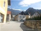 2
2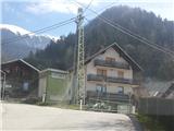 3
3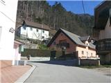 4
4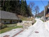 5
5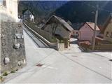 6
6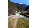 7
7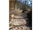 8
8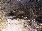 9
9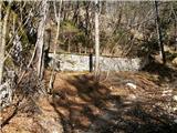 10
10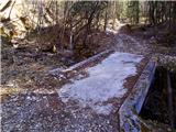 11
11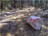 12
12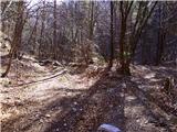 13
13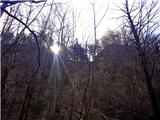 14
14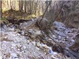 15
15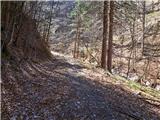 16
16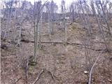 17
17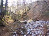 18
18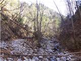 19
19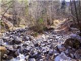 20
20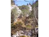 21
21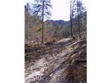 22
22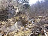 23
23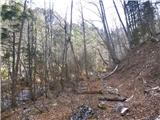 24
24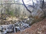 25
25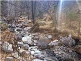 26
26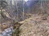 27
27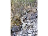 28
28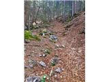 29
29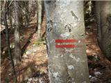 30
30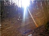 31
31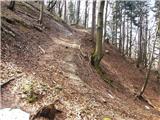 32
32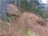 33
33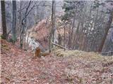 34
34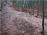 35
35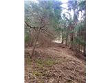 36
36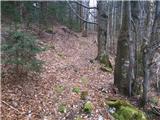 37
37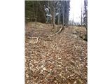 38
38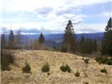 39
39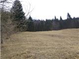 40
40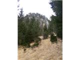 41
41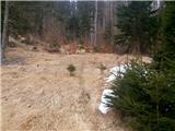 42
42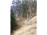 43
43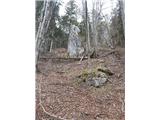 44
44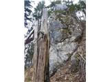 45
45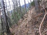 46
46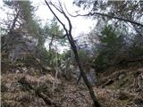 47
47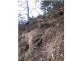 48
48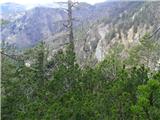 49
49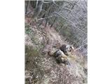 50
50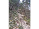 51
51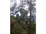 52
52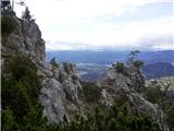 53
53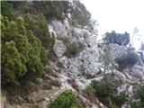 54
54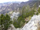 55
55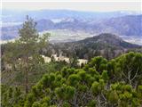 56
56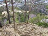 57
57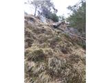 58
58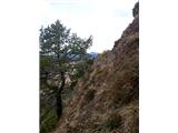 59
59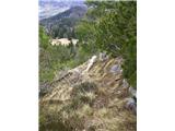 60
60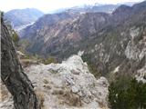 61
61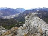 62
62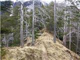 63
63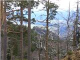 64
64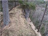 65
65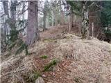 66
66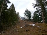 67
67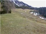 68
68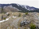 69
69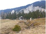 70
70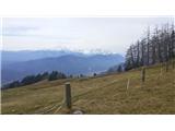 71
71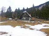 72
72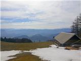 73
73
Discussion about the trail Koroška Bela (RC Kres) - Potoška planina (hunting path Čez skalo)