Kočevje - Požgani hrib (Grajska way)
Starting point: Kočevje (464 m)
| Lat/Lon: | 45,633°N 14,8585°E |
| |
Name of path: Grajska way
Time of walking: 1 h 50 min
Difficulty: easy marked way
Altitude difference: 545 m
Altitude difference po putu: 600 m
Map:
Recommended equipment (summer):
Recommended equipment (winter):
Views: 6.156
 | 1 person likes this post |
Access to the starting point:
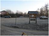
First drive to Kočevje, then look for Podgorska street (it branches off the main road to the right - the route of travel is towards Delnice). At the end of the street you will see mountain signs and a nicely arranged parking lot.
Path description:
From the parking lot, walk to a well-marked crossroads, then continue left towards the Grajska cesta (Kalanova pot on the right). First go around the house, then turn left and cross the grassy slope. The path then enters the wods, where it continues in a moderate ascent along the relatively wide cart track. Higher up, cart track crosses a forest road and gradually turns into a slightly steeper footpath. The well-marked path crosses the road a few more times higher up and then leads to a crossroads, where it continues slightly to the left in the direction of Livoldski vrh and the Fridrihštajn Castle (Mestni vrh and the cottage at the Deer Spring on the right). The well-marked path continues higher up and crosses the road (Livoldski vrh on the left) and splits into two parts just a little further onwards (Mestni vrh and the cottage at the Deer Spring on the right). Continue right towards the Fridrihštajn wall and Požganega vrh (left Fridrihštajn normal route). After a few steps the path splits into two parts again and we continue on the right-hand path, which starts to descend (left Fridrihštajn climbing route). After a short descent the path flattens out and then continues along cart track, which ascends moderately uphill. After a few minutes of further walking, you will notice markings directing you to the right on a steep footpath which will take you up to a partially viewable summit in a few minutes.

Pictures:
 1
1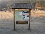 2
2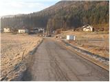 3
3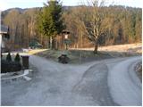 4
4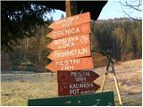 5
5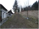 6
6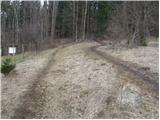 7
7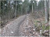 8
8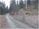 9
9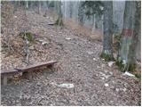 10
10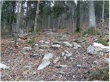 11
11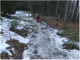 12
12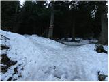 13
13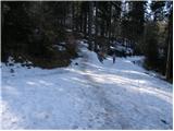 14
14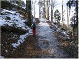 15
15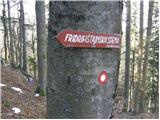 16
16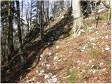 17
17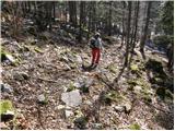 18
18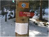 19
19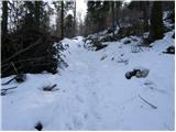 20
20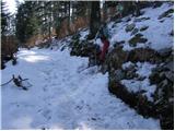 21
21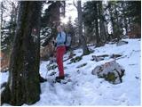 22
22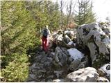 23
23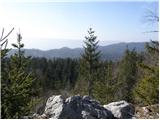 24
24 25
25
Discussion about the trail Kočevje - Požgani hrib (Grajska way)
|
| squash12318. 09. 2013 |
Danes sem opravil izlet ko kočevskih hribih. Lep izlet se da narediti v kratkem času. Sam sem začel v Kočevju, odšel na Mestni vrh, nadaljeval na Fridrihštajn, odšel na Požgani hrib in nato zaključil z Livoldskim vrhom. sledil je le še spust do Kočevja. Medveda nisem srečal, čeprav so ga Kočevci videli zjutraj v mestu 
|
|
|