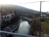
Starting point: Kanal (106 m)
| Lat/Lon: | 46,51665°N 13,38496°E |
| |
Time of walking: 3 h
Difficulty: easy marked way
Altitude difference: 706 m
Altitude difference po putu: 706 m
Map:
Recommended equipment (summer):
Recommended equipment (winter):
Views: 3.800
 | 1 person likes this post |
Access to the starting point:
a) from Bovec: to Kobarid on road 203, then to Tolmin on road 102 and on to Kanal on road 103.
b) From Ljubljana: to Razdrteg on the A1 motorway (E70), then to Nova Gorica on the H4 expressway and on to Kanal on the 103 road.
c) From Koper: to Srmin on the H5 expressway, then to Razdrteg on the A1 (E70), then to Nova Gorica on the H4 expressway and on to Kanal on the 103.
d) The starting point can also be reached by regular train or by the Bohinj Museum Train.
Path description:
Cross the bridge over the Soča River and go under the railway bridge, or if you have come by train, go from the railway station along the line to the crossroads and then left under the line where you come back to the crossroads where direction signs for Marijina Celje and Korada are waiting for you. Continue along the asphalted road towards Gorenjska vasa and soon the first of the houses is marked to the right. Follow the markings past the houses until you reach the route signs again, where the paths branch off. Continue in the direction of Korada along the dirt track. Soon the path begins to climb moderately and, looking back, you can see the view of Kanal. In the small woods, follow the signs, which lead us to the right, mainly at new forks. Soon the path crosses a track as we continue straight on past the (demolished) house. The wider path is replaced by a narrower one, climbing through the forest. Soon we come to the hamlet of Ravna, which leads a short way down the asphalt to a farm where our path continues to the right. Follow the wider forest track to a fork, which is not marked. Continue to the right where a red sign soon greets you on a slight rise. The way ahead is quite overgrown and piled with dead trees and branches. When you reach the asphalted road, continue left along it. We meet a signpost for St James and we continue along the path, parallel to the road. As we climb, beautiful views of the Krnska Group and other mountain ranges begin to open up on our right. When we reach the crossroads, we have the option of jumping to the church of St James or continuing right towards Korada. A narrow path winds through the forest and a grey, not too busy road soon leads nearby. The grassy slopes open up, we continue above Vrtače to a crossroads where direction signs direct us through a meadow through a small forest. We soon reach St Genderce and continue along the slope to a wide meadow where our destination awaits us.

Pictures:
 1
1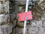 2
2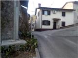 3
3 4
4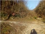 5
5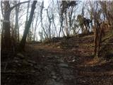 6
6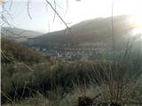 7
7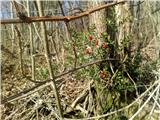 8
8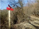 9
9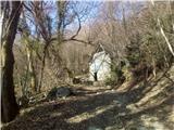 10
10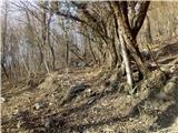 11
11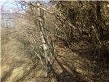 12
12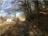 13
13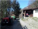 14
14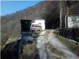 15
15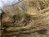 16
16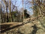 17
17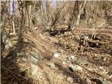 18
18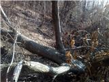 19
19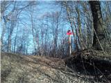 20
20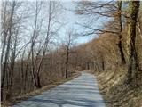 21
21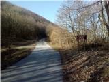 22
22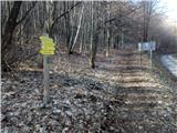 23
23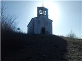 24
24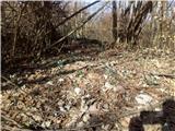 25
25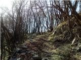 26
26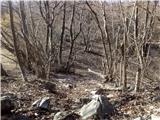 27
27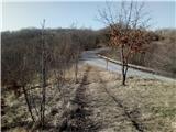 28
28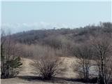 29
29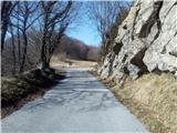 30
30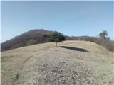 31
31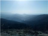 32
32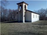 33
33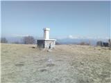 34
34
Discussion about the trail Kanal - Korada