Starting point: Kališe (960 m)
| Lat/Lon: | 46,2665°N 14,6832°E |
| |
Time of walking: 1 h 30 min
Difficulty: easy unmarked way
Altitude difference: 475 m
Altitude difference po putu: 475 m
Map: Kamniške in savinjske Alpe 1:50.000
Recommended equipment (summer):
Recommended equipment (winter): ice axe, crampons
Views: 4.364
 | 2 people like this post |
Access to the starting point:
a) First, drive to Kamnik, then continue driving towards the Črnivec Pass. Just 100 m before the pass, we see signs for Kranjski Rak, which direct us sharp left onto a narrow and initially quite steep road. The road climbs higher and after the village of Kališe, which we pass on the upper right-hand side, it turns right near the church of St. Ahacius and becomes level. From this bend, drive for another 200 or 300 m and then park on the left side of the road, opposite a small water reservoir, in a suitable place on the roadside.
b) From Gornji Grad, drive towards Kamnik, and then, only a few 100 m after the Črnivec pass, turn right in the direction of Kranjski Rak, along a narrower and initially quite steep road. The road climbs higher and after the village of Kališe, which you pass on the upper right-hand side, it turns right near the church of St. Ahacius and becomes level. From this bend, drive for another 200 or 300 metres and then park in a suitable place on the left-hand side of the road, opposite a small water reservoir.
c) From the Savinjska valley, first drive to Luce, then continue to Kamnik. After the Volovljek pass, where you can see the Štajerski Rak cafeteria on the left and the Kranjski Rak cafeteria on the right, the asphalt road starts to descend gently, and we drive along it for about 3 km, or 1. 5 km to the road marker. About 100 m after the road marker, you will see a small water reservoir on the left and a suitable parking space on the right.
Path description:
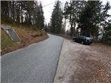
At the waterworks, a wide cart track road branches off from the road and begins to climb through the forest. After a few metres it splits into two parts, and we continue along the wider cart track on the right, which quickly leads us out of the woods, where the path from St Ahacius Church joins us on the right, and we continue sharp left on the partly grassy cart track, which climbs along the edge of the meadow. From the occasionally overgrown cart track, we first have beautiful views, then the path turns into a forest, through which it continues to climb gently. After a few minutes, you reach a dirt road, which you follow to the right, but which soon turns sharp left. Continue along the forest road for some time, then reach a small crossroads where a short road branches off to the right downhill towards a nearby hunting lodge.
From the crossroads by the hunting lodge, continue left along the macadam road, which then crosses the slopes below the Plešivec peak (1330 m) in a slight ascent. While crossing, some views open up through the treetops towards the neighbouring Velika planina and Planjava and Ojstrica. A little further on, we reach a kind of turning point, from where we continue straight on the widest cart track, at first even worse road. At the next crossroads go slightly right, then in a moderate ascent reach the levelling at the Na križu pass, where in a few steps you reach the marked path Črnivec - Kranjska reber.
Follow the marked trail to the left and you will have a view towards Menina mountain pasture and Tomanova mountain pasture. The path quickly returns to the forest behind the viewpoint and starts to climb a little steeper. After a few minutes, we leave the forest, where we cross a grazing fence, and the unmarked path from the Volovljek Pass (Kranjski and Štajerski Rak) joins us almost imperceptibly from the left.
Here we continue straight along the well-trodden path, which is surrounded by quite lush vegetation, mainly ferns and grasses. The ferns are quickly replaced by less tall grass, and the path leads us along the lane of the sparse forest, where the summit markers direct us slightly to the right onto an increasingly scenic path. In good weather, the path opens up to ever more beautiful views, reaching all the way to Snežnik. A few minutes of gentle to moderate ascent follows and the path leads us past the animal watering point to the scenic summit without any major problems.

Pictures:
 1
1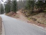 2
2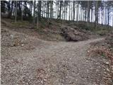 3
3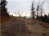 4
4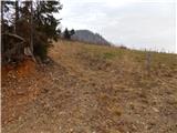 5
5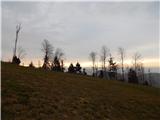 6
6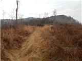 7
7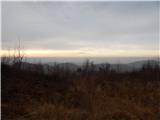 8
8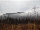 9
9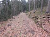 10
10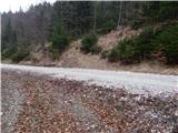 11
11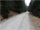 12
12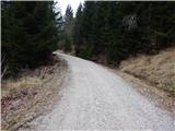 13
13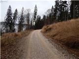 14
14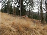 15
15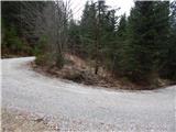 16
16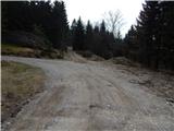 17
17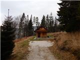 18
18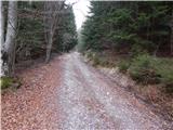 19
19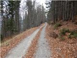 20
20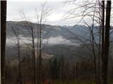 21
21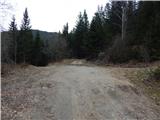 22
22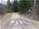 23
23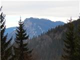 24
24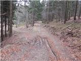 25
25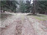 26
26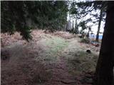 27
27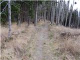 28
28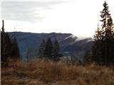 29
29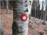 30
30 31
31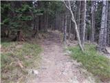 32
32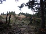 33
33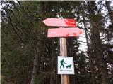 34
34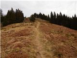 35
35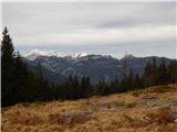 36
36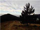 37
37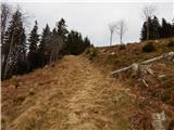 38
38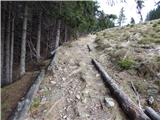 39
39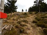 40
40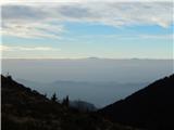 41
41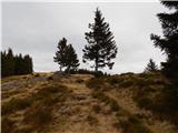 42
42 43
43 44
44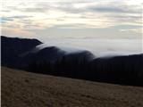 45
45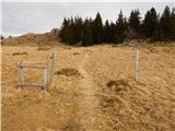 46
46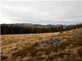 47
47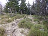 48
48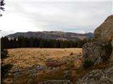 49
49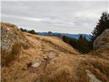 50
50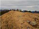 51
51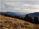 52
52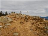 53
53 54
54
Discussion about the trail Kališe - Kranjska reber