Jezero - Sveti Tomaž (Planinca) (via homestead Špelin)
Starting point: Jezero (290 m)
| Lat/Lon: | 45,9692°N 14,4313°E |
| |
Name of path: via homestead Špelin
Time of walking: 50 min
Difficulty: easy marked way
Altitude difference: 282 m
Altitude difference po putu: 282 m
Map: Ljubljana - okolica 1:50.000
Recommended equipment (summer):
Recommended equipment (winter):
Views: 6.342
 | 1 person likes this post |
Access to the starting point:
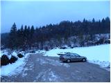
a) From the motorway Ljubljana - Koper, take the exit Brezovica, from where you turn left along the old road towards Vrhnika. While still in Brezovica, you will see signs for Podpeč, which will direct you to the left. Continue through Vnanje and Notranje Gorice to Podpeča, where at the crossroads turn left towards the village of Jezero. Follow the road through the village for a few 100 m, after which the signs for Podpeško jezero point to the right. Follow the slightly narrower road to the parking lot at Lake Podpeško.
b) From Ljubljana, take the road to Črna vas and then continue to Podpeč, where you join the road from Brezovica. In Podpeč, turn left again (direction Jezero). Continue for another 100 m, then the signs for Podpeško jezero direct you to the right onto a slightly narrower road, which you follow to the parking lot by the aforementioned lake.
Path description:
From the parking lot at Lake Podpeje, go back a good 100 m and then take the road in the route Krima (the left-hand road as seen from the route of access to the starting point). Continue through the village, keeping to the right at the crossroads. After about 15 minutes of easy walking, we reach the Špelin homestead, where the signs for Krim direct us left onto an ascending footpath that quickly turns into a forest. Follow the Cart track uphill for a short while, which soon leads to a dirt road, which is only crossed by a dirt track from the village of Jezero (which is how you would have reached the village if you had continued along the road to the left at the small crossroads after the chapel). There is a short climb through the forest and the path leads to the meadows of the area called Planinca (aka Planinica). Here the path turns to the left and quickly leads us to a lonely homestead, after which we join the path past Ledenice on the left. Here you continue to the right and in a few further steps you reach the church of St. Thomas at Planincica.

Pictures:
 1
1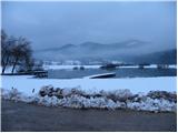 2
2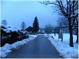 3
3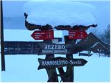 4
4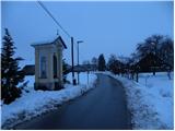 5
5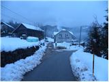 6
6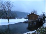 7
7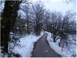 8
8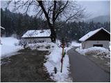 9
9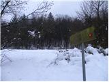 10
10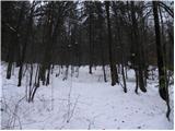 11
11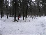 12
12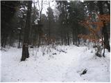 13
13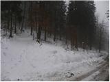 14
14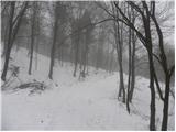 15
15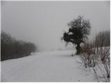 16
16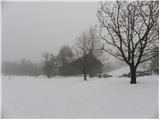 17
17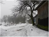 18
18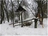 19
19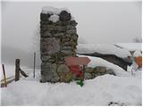 20
20 21
21
Discussion about the trail Jezero - Sveti Tomaž (Planinca) (via homestead Špelin)