Hotovlja - Sivka (via Pasja ravan)
Starting point: Hotovlja (400 m)
| Lat/Lon: | 46,1184°N 14,1944°E |
| |
Name of path: via Pasja ravan
Time of walking: 3 h
Difficulty: easy marked way
Altitude difference: 534 m
Altitude difference po putu: 725 m
Map: Škofjeloško in Cerkljansko hribovje 1:50.000
Recommended equipment (summer):
Recommended equipment (winter):
Views: 7.791
 | 1 person likes this post |
Access to the starting point:
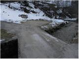
From Škofja Loka, drive towards Gorenjska vas. The road then leads to a semaphorised crossroads in the village of Poljane above Škofja Loko. Turn left here towards the village Hotovlja. Just after the crossroads, the road crosses the Poljanščica River over a bridge and then leads to the next crossroads, where you continue to the left. The road then leads us between the houses in village Hotovlja, where we also see the start of the footpath to Bukov vrh. Here, drive on for a few dozen metres to a parking area on the other side of the stream along which you are driving.
Path description:
From the parking lot, return a few metres along the road back to the marked start of the mountain trail at Bukov vrh. The path then crosses a small bridge over a stream and climbs steeply on the other side. The path continues for a good 20 minutes climbing through the forest, then leads us to a sparsely vegetated slope where the steepness eases. Here, two crosses are seen along the path, only a few metres apart. Just a little further on, the path leads us to a small hamlet, where we continue along a worse road, which we follow for only a short time. When you reach the fence, continue through the gate and continue climbing between the fences. Follow this path, along which the markings are more sparse, for a few minutes until you reach a place where you come out on a worse road. Here we see a marker for Bukov vrh, which directs us along a grassy slope towards the church, which we can already see ahead. Just below the summit, the path briefly climbs a little more and, with the views getting better and better, quickly leads us to the summit, in the middle of which stands the Church of the Sorrowful Mother of God.
From Bukov vrh, continue straight down (south) and after a short descent across a meadow, you will reach a small hamlet in the village of Bukov vrh. Here, on one of the houses, we see the inscription Vinharje, Pasja ravan and Črni vrh, which directs us to cart track, which begins to climb gently and quickly leads us to a grassy ridge with a view. Walk across the viewing slope and then cart track turns slightly to the right, where it leads us to the edge of the forest. Here cart track leads to a small crossroads, where we continue left, relatively steeply upwards. Higher up, cart track is transiently laid down, and we continue to follow the markers for Pasja ravan, only to be directed by cart track to a wide footpath. Higher up, we cross again cart track, and then continue our ascent along the occasionally slightly steeper marked path, which, after a good 15 minutes' further walking, leads us to a macadam road, which we follow to the left. Continue along the road and in less than 5 minutes you will arrive at the top of the Pasje Level.
From the top of Pasje Plain, continue along the marked trail towards Suhego Dolo. The path descends steeply for a few metres from the edge of the summit, then flattens out and passes into the forest, through which you quickly descend to the nearby road. Follow the road to the left (right Bukov vrh, retreat to the top of the Pasje Level) and walk along it for a few steps, and then the markings will direct you slightly to the right onto a marked and gently ascending footpath. The path soon leads out of the forest onto a grassy hayfield, which you can walk along to the nearby road. The asphalted road reaches the viewpoint of the overlok, which is flanked by a cross, the National Liberation Monument and mountain direction signs. Continue in the direction of Suhi dol and follow the asphalted road for some time, which mostly descends gently to moderately. Follow the partially scenic road for some time and then, at the sign for the beginning or end of the municipality Dobrova Polhov Gradec, continue left down a marked footpath that descends through the forest. A little lower down, return to the road and follow it to the left. The road continues through a small hamlet, after which it begins to climb. At the top of the slope, you come to a crossroads where you continue downhill to the left in the direction of "Rovt" (to the right, "Suhi dol"). The dirt road ahead starts to descend, and we follow it to the first turn off to the right. When you reach the turn off to the right, continue on the ascending road to the right, and follow it to the marked crossroads near the chapel.
Here, continue right up towards Sivka, and continue your ascent along the marked footpath, which will take you to the summit in less than 10 minutes.

Pictures:
 1
1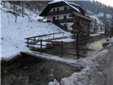 2
2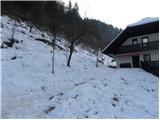 3
3 4
4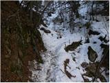 5
5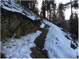 6
6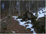 7
7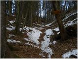 8
8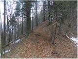 9
9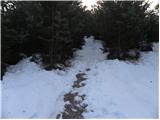 10
10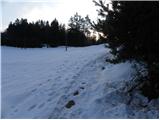 11
11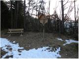 12
12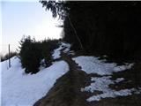 13
13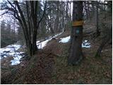 14
14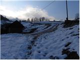 15
15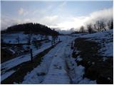 16
16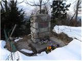 17
17 18
18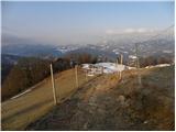 19
19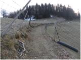 20
20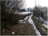 21
21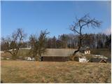 22
22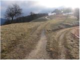 23
23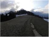 24
24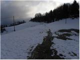 25
25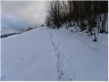 26
26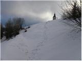 27
27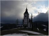 28
28 29
29 30
30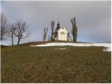 31
31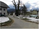 32
32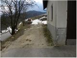 33
33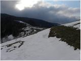 34
34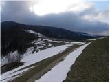 35
35 36
36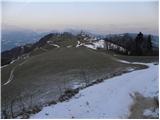 37
37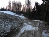 38
38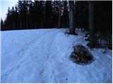 39
39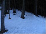 40
40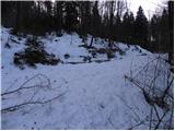 41
41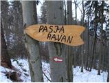 42
42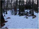 43
43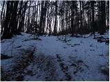 44
44 45
45 46
46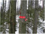 47
47 48
48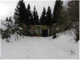 49
49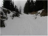 50
50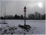 51
51 52
52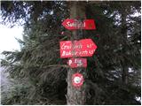 53
53 54
54 55
55 56
56 57
57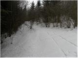 58
58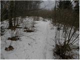 59
59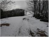 60
60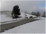 61
61 62
62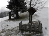 63
63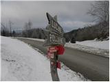 64
64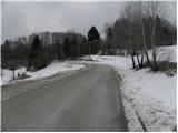 65
65 66
66 67
67 68
68 69
69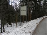 70
70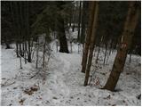 71
71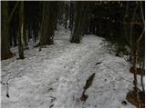 72
72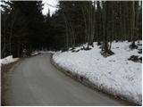 73
73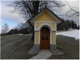 74
74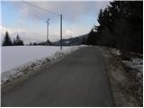 75
75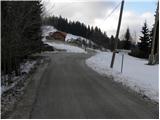 76
76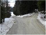 77
77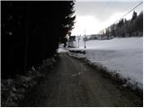 78
78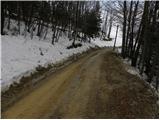 79
79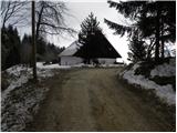 80
80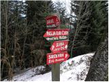 81
81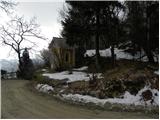 82
82 83
83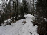 84
84 85
85 86
86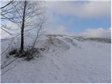 87
87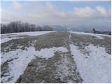 88
88 89
89
Discussion about the trail Hotovlja - Sivka (via Pasja ravan)
|
| ljubitelj gora19. 12. 2010 |
Vrh ni ravno gol, ampak je delno poraščen z gozdom, najlepši razgled je na Gorenjsko stran.
|
|
|
|
| bats19. 12. 2010 |
Pa še ta pogled bodo sčasoma prekrile smrek(c)e.Zaenkrat je pa prostora za žoganje še dovolj.
|
|
|
|
| bats20. 12. 2010 |
Iz najbližjega 1000-letnega mesta.
|
|
|