Hotavlje - Kucelj (above Kopačnica) (via village Studor)
Starting point: Hotavlje (421 m)
| Lat/Lon: | 46,11487°N 14,1163°E |
| |
Name of path: via village Studor
Time of walking: 2 h 10 min
Difficulty: easy unmarked way
Altitude difference: 499 m
Altitude difference po putu: 520 m
Map: Škofjeloško in Cerkljansko hribovje 1:50.000
Recommended equipment (summer):
Recommended equipment (winter): ice axe, crampons
Views: 745
 | 4 people like this post |
Access to the starting point:
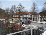
a) From Železniki, Kranj or Medvode, drive to Škofja Loka, and from there continue in the direction of Gorenje vasi in the Poljane valley and Žirem. After Gorenja vasja, in Hotavlje, leave the main road towards Žire at the junction after Gostilna Lipan and turn right towards the ski resort Cerkno and the village Leskovica. Before the end of Hotavlje, turn right in the direction of the path to Blegoš, the Marmor Hotavlje company and the Loška cooperative (straight ahead Kopačnica, Leskovica and the Cerkno ski resort). After about 100 metres from the crossroads, you will arrive at the Loška cooperative, where you will park.
b) From Horjul or Polhovy Gradec, drive to Lučine and from there descend to Gorenjska vas. In Gorenjska vas, turn left towards Žire, then in Hotavlje, at the crossroads after Gostilna Lipan, turn right towards the ski resort Cerkno and the village Leskovica. Before the end of Hotavlje, turn right in the direction of the path to Blegoš, the Marmor company Hotavlje and the Loška cooperative (straight ahead Kopačnica, Leskovica and the ski resort Cerkno). After about 100 metres from the crossroads, you will reach the Loška cooperative, where you will park.
c) From Vrhnika, Logatec or Spodnja Idrija drive to Žiri, from there continue to Gorenjska vas and Škofja Loka, we take the main road only to Hotavlje, where we turn left in the direction of the ski resort Cerkno and the village Leskovica. Before the end of Hotavlje, turn right in the direction of the path to Blegoš, the Marmor company Hotavlje and the Loška cooperative (straight ahead Kopačnica, Leskovica and the ski resort Cerkno). After about 100 metres from the crossroads, we arrive at the Loška cooperative, where we park.
d) First drive to Cerkno and from there continue over the Kladje Pass (Podlanišče) towards Sovodnje. From Sovodnje, drive along the Hobovščica stream, then turn left at a slightly larger crossroads towards Gorenje vas (right Žiri). Follow the main road towards Škofja Loka to Hotavlje, where you turn left towards the ski resort Cerkno and the village Leskovica. Before the end of Hotavlje, turn right in the direction of the path to Blegoš, the Marmor company Hotavlje and the Loška cooperative (straight ahead Kopačnica, Leskovica and the ski resort Cerkno). After about 100 metres from the crossroads, you will arrive at the Loška cooperative, where you will park.
Path description:
From the starting point we continue along the road, which quickly leads us to the company Marmor Hotavlje, after which Hotavlje ends. The way ahead leads along the Volaščica stream, and from the nearby crossroads go left in the direction of Volaka and Čabrače (right Suša and Malenski Vrh). You quickly arrive at Volaka, where you continue straight on (right St Jedert and Blegoš), and then walk along the Volaščica for some time.
A little further on from the crossroads, continue slightly left towards the villages of Debeni, Studor and Leskovica, and continue along the Studorščica stream for a short distance, turning away from it on the left. Higher up, leave the dense forest and, with occasional views, arrive at the settlement Debeni, where you can see an older marker. The asphalt road leads us higher up to the village of Studor, where we see a stone marker on the right by the first houses, and we go left at the first crossroads, and a little further on, after the goat house, we go left again onto the forest road, which descends moderately over a short distance. Then we cross the slopes of Jureževega vrh (866 m), and then we arrive at the slopes of Kuclja (920 m), where the road begins to climb more visibly. Before the road leaves the forest, turn slightly right on cart track, which leads us out of the forest onto the meadows of the small plateau of Makovc, where we have a view of Blegoš and where the path through Srednje Brdo joins us from the left.
Here we continue slightly to the right and, looking at the surrounding hills, we arrive at a small saddle where we leave the wider cart track and go right on a slightly narrower one, and immediately left on cart track, which climbs transversely to the left. A little further on, we leave the forest again, which we entered on a small saddle, and then climb up the slopes of Kuclj, enjoying beautiful views. After the lookout part we return to the forest, and after a few minutes we join the marked path from Kopačnice.
Go right here and in a few 10 steps of further walking you will reach the 920 m high summit.
Description and pictures refer to January 2021.

Pictures:
 1
1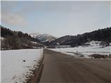 2
2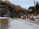 3
3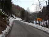 4
4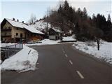 5
5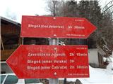 6
6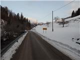 7
7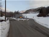 8
8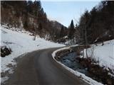 9
9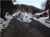 10
10 11
11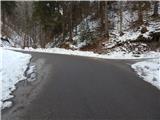 12
12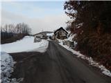 13
13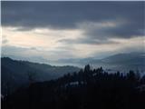 14
14 15
15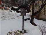 16
16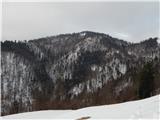 17
17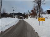 18
18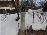 19
19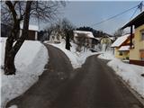 20
20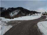 21
21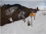 22
22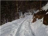 23
23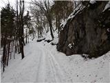 24
24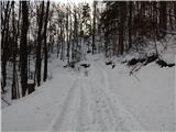 25
25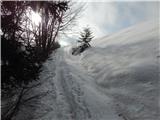 26
26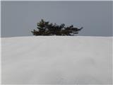 27
27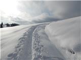 28
28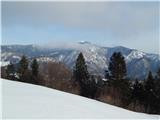 29
29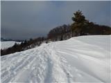 30
30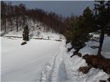 31
31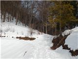 32
32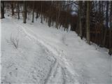 33
33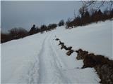 34
34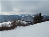 35
35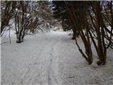 36
36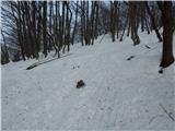 37
37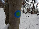 38
38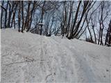 39
39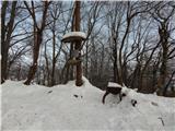 40
40 41
41
Discussion about the trail Hotavlje - Kucelj (above Kopačnica) (via village Studor)