Grant - Raskovec (via Rodica)
Starting point: Grant (725 m)
| Lat/Lon: | 46,2073°N 13,879°E |
| |
Name of path: via Rodica
Time of walking: 4 h 30 min
Difficulty: easy pathless terrain
Altitude difference: 1242 m
Altitude difference po putu: 1290 m
Map: TNP 1:50.000
Recommended equipment (summer):
Recommended equipment (winter): ice axe, crampons
Views: 801
 | 1 person likes this post |
Access to the starting point:
From Podbrdo drive to Tolmin or vice versa, but only as far as the village of Koritnica. At Koritnica you will see a sign for the village Rut, which points to the right (from Tolmin, take a sharp left). Follow the mostly ascending road to the village, where there is also a small crossroads. Continue left towards the village Grant, which is reached after about 1 km of further driving. There are no parking spaces in the village, so park in a suitable place nearby.
Path description:
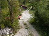
At the end of the village Grant find the continuation of the marked path, which continues along a worse road or cart track. There are a few forks, where we follow the few signposts, and we quickly climb above the village. Higher up, we leave the nearby pasture and then climb to a wider macadam road, which we cross and continue our ascent through the forest. A fairly steep path, with more frequent signposting later on, crosses another forest road higher up. Above the road, the path turns slightly to the left and then starts to climb quite steeply. The steepness eases a little higher up, and then you join a wider dirt track, which you follow to the left, quickly reaching a marked crossroads, where you continue right in the direction of Rodica (straight ahead Koča na planini Razor and the Geological Trail).
After the crossroads marked Mladinska koča, you start climbing up a well-preserved dirt track, which after a few minutes turns sharp left, then climbs for some time cross-country to the left, first through the forest, then through dwarf pines. During the cross-climb, the path also leads over a few ravines, but the crossings are not difficult as the path is wide throughout. With beautiful views of the Idrija and Cerkljansko hills, we approach the Jehlc peak at the right-hand serpentine, which we can see in front of us the whole time we are crossing it. At this serpentine, the pathless approach to the summit continues straight ahead (the last part before the ridge is difficult), and we continue along the marked path, which continues on the mule track. Two serpentines higher, an easier approach to the above-mentioned summit branches off to the left, and we continue to climb via dwarf pines. A little higher we reach a ridge that stretches from Jehliec to the main ridge of the Lower Bohinj Mountains, but the path retreats several times, once to the left and again to the right. The higher dwarf pines are replaced by grass and stones, and with every step, the views get better. There are a few more serpentines, where we climb up a steeper slope, then the slope flattens out and the path leads us to a marked crossroads, where we join the path from the Bohinj side. Continue right here (Šija, Ski hotel Vogel and Ribčev Laz on the left) and climb the moderately steep ridge to the 1,966-metre summit of Rodica in just over 10 minutes of further walking.
From the top of Rodica, continue along the ridge in the direction of Črna prsti. The trail first starts descending along the ridge and then switches to the southern slopes, where it crosses sometimes quite steep slopes just a few metres below the ridge. The very scenic path, however, at the foot of the Dry Rodica (Novi vrh), passes to the axial slopes, where it crosses the slopes of the above-mentioned summit (snowfield, which is retained until the beginning of summer). When the path returns to the main ridge, it leaves the marked path and continues along the ridge (south-west ridge of Raskovca), along which we see a very poorly visible path, which leads us to the summit of Raskovca in 10 minutes of ascent along the summit slope.
Grant - Rodica 3:30, Rodica - Raskovec 1:00.

Pictures:
 1
1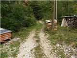 2
2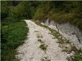 3
3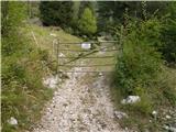 4
4 5
5 6
6 7
7 8
8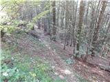 9
9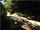 10
10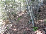 11
11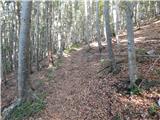 12
12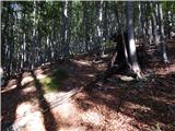 13
13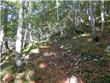 14
14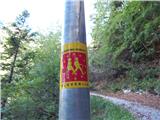 15
15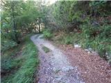 16
16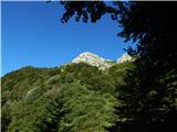 17
17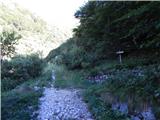 18
18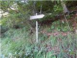 19
19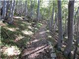 20
20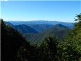 21
21 22
22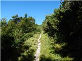 23
23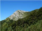 24
24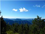 25
25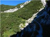 26
26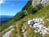 27
27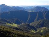 28
28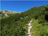 29
29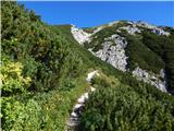 30
30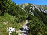 31
31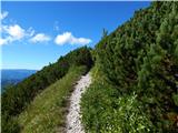 32
32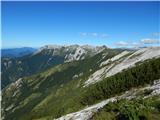 33
33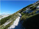 34
34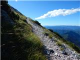 35
35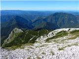 36
36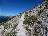 37
37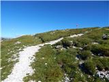 38
38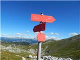 39
39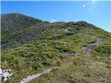 40
40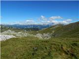 41
41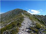 42
42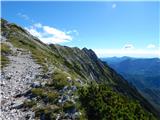 43
43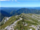 44
44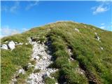 45
45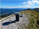 46
46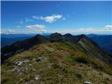 47
47 48
48 49
49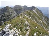 50
50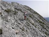 51
51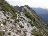 52
52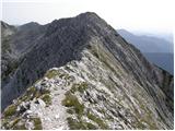 53
53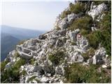 54
54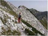 55
55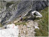 56
56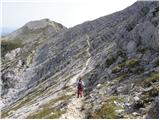 57
57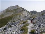 58
58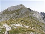 59
59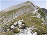 60
60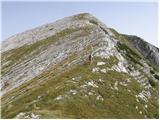 61
61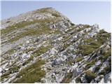 62
62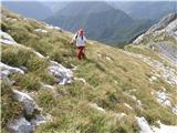 63
63 64
64
Discussion about the trail Grant - Raskovec (via Rodica)