Grahovše - Dom pod Storžičem (footpath)
Starting point: Grahovše (800 m)
| Lat/Lon: | 46,3664°N 14,3518°E |
| |
Name of path: footpath
Time of walking: 1 h 15 min
Difficulty: easy marked way
Altitude difference: 323 m
Altitude difference po putu: 323 m
Map: Karavanke - osrednji del 1:50.000
Recommended equipment (summer):
Recommended equipment (winter): ice axe, crampons
Views: 39.123
 | 1 person likes this post |
Access to the starting point:
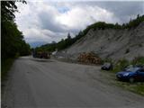
From the Ljubljana - Jesenice motorway, take the Ljubelj exit (Tržič) and then continue towards Ljubelj. Just before the petrol station in Bistrica pri Tržiču, leave the main road and turn right towards Tržiča. Continue through Tržič in the direction of Dolžanove gorge, then turn right at the end of the town in the direction of Lom pod Storžičem and Grahovš. When you arrive in Grahovše, follow the road to the nearby quarry, next to which there is a marked parking area.
Path description:
From the parking lot continue along the road, which quickly leads to the first crossroads, where you continue slightly left in the direction of Dom pod Storžičem (slightly right leads the road to the village). Just a little further on you arrive at the second crossroads, where you continue along the lower right road (left tourist farm Rekar, Stegovnik, mountain pasture Javornik and mountain pasture Konjščica). The route continues along a gently sloping dirt road, which first leads through a large pasture and then into the forest, where it continues along what were initially numerous watercourses. The road climbs through the forest at a relatively gentle pace for some time, and then, just after the sign (the cross), it leads to a place where a footpath branches off to the right towards Dom pod Storžič. Take the above-mentioned path (straight ahead to Dom pod Storžič - along the road), which continues for a very short distance along cart track, then crosses a small stream and turns into a steeper path behind it. The path quickly leads out of the woods, where it lays down a little, and continues across the vast Senožeti. The scenic route widens higher up to cart track, then leads to a less good forest road, which we just cross. Above crossing this road, we approach the road leading to Dom pod Storžičem, and we continue slightly to the right on a parallel mountain path, which continues along cart track, gradually turning into the forest. Higher up, cart track turns to the right, and we continue straight on, following the path which quickly leads us to the aforementioned mountain lodge.

Pictures:
 1
1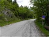 2
2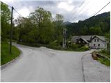 3
3 4
4 5
5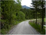 6
6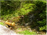 7
7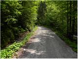 8
8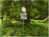 9
9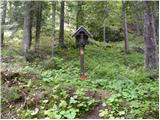 10
10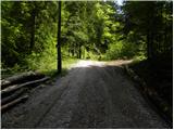 11
11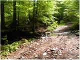 12
12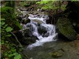 13
13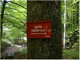 14
14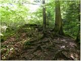 15
15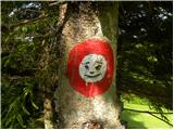 16
16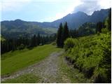 17
17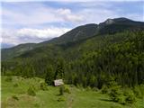 18
18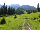 19
19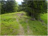 20
20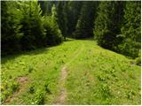 21
21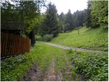 22
22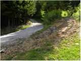 23
23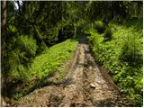 24
24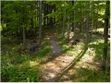 25
25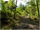 26
26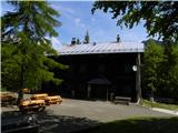 27
27
Discussion about the trail Grahovše - Dom pod Storžičem (footpath)