Starting point: Gračišče (296 m)
| Lat/Lon: | 45,5031°N 13,8762°E |
| |
Time of walking: 30 min
Difficulty: easy marked way
Altitude difference: 155 m
Altitude difference po putu: 155 m
Map: Slovenska Istra - Čičarija, Brkini in Kras 1:50.000
Recommended equipment (summer):
Recommended equipment (winter):
Views: 12.533
 | 1 person likes this post |
Access to the starting point:
From the motorway Ljubljana - Koper take the exit Črni Kal. From Črni Kal, continue along the old road towards the sea, and we take it only as far as the next slightly larger crossroads, where we turn left towards Border crossing Sočerga. Follow the road past Kubed to the village of Gračišče, where you turn left at the junction in the direction of Rakitovec, Movraž and Smokvica. A few 10 m further on (by the primary school), or just before the sign Gračišče, turn left onto a side road, where you can park in a suitable space at the beginning of the road (there are no suitable parking spaces higher up).
The starting point can also be reached from the coast via Prade, Pobegi, Čežarji, and Sveti Anton.
Path description:
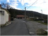
Follow the road along which we parked up to the nearby church, then through the congested part of the settlement, orientation becomes a little more difficult. Continue along the marked road (markings are very rare), and the road soon turns right, where it descends slightly. After a short descent, you reach a small crossroads, where you continue to the right at an electricity pylon, and then, behind a house, you see the first signs for Lačno and the tower on it.
After the house, continue left and follow the narrower road up to the last house in the village.
From here, follow the marked cart track, which starts to climb steeply. Cart track quickly leads us to a marked crossroads, where we continue to the right in the direction of Lačná (to the left, the Fox Castle cave). The path continues to climb crosswise and quickly leads us out of the forest to a viewing slope, from which we have a beautiful view of Gračišče and the surrounding hills. Higher up, the path turns slightly to the left and, just a few metres higher, joins the folded cart track, which is followed to the right. Follow cart track for only a few minutes and then the signs for the tower direct you left onto a footpath which takes you to the top of Lačná within a minute's walk.
From the top, you can climb to the lookout tower, which offers a beautiful view of Slavnik, Učka, the Gulf of Trieste and, in good weather, all the way to Dolomites and the Julian Alps.

Pictures:
 1
1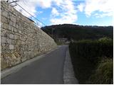 2
2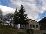 3
3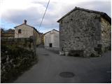 4
4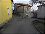 5
5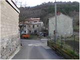 6
6 7
7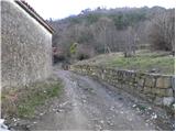 8
8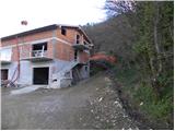 9
9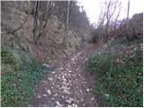 10
10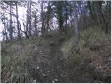 11
11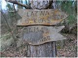 12
12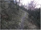 13
13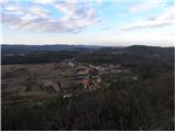 14
14 15
15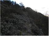 16
16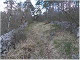 17
17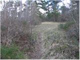 18
18 19
19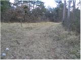 20
20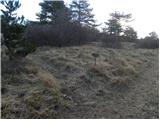 21
21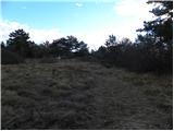 22
22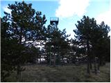 23
23 24
24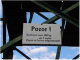 25
25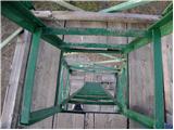 26
26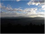 27
27
Discussion about the trail Gračišče - Lačna