Gorjuša - Sveta Kunigunda on Tabor nad Ihanom
Starting point: Gorjuša (317 m)
| Lat/Lon: | 46,134°N 14,6268°E |
| |
Time of walking: 35 min
Difficulty: easy marked way
Altitude difference: 60 m
Altitude difference po putu: 120 m
Map: Ljubljana - okolica 1:50.000
Recommended equipment (summer):
Recommended equipment (winter):
Views: 1.170
 | 3 people like this post |
Access to the starting point:
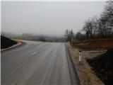
Leave the Štajerska motorway at exit Domžale, then follow the signs for Krumperk Castle. The road then leads past the SSK Sam Ihan ski jumps and continues along the high-voltage power line. There is some ascent, and then you reach a small prevala, where you cross the marked Domžale - Murovica trail. Park here in a suitable place by a wooden sign. Park in front of Krumperk Castle and Gorjuša.
Path description:
Near the sign, you will see markings directing you to a dirt track that begins to climb southwards. The moderately steep path leads us mainly through the forest, but higher up we are joined by a few more unmarked paths from nearby starting points. Follow this trail, with few signs at the crossroads, all the way to Veliki vrh, where there is a signing-in box with a signing-in book.
From Veliki vrh, continue straight ahead along the path, which begins to descend gently, and at the crossroads follow the few signs. A little lower, you come out of the forest and climb gently across the meadow to the macadam road, where there is a marked crossroads.
The marked path continues towards Sv. Trinity, and we follow the dirt road for a minute or two to the Church of St. Kunigunda.
Starting point - Veliki vrh 20 minutes, Veliki vrh - Tabor 15 minutes.
Description and pictures refer to the situation in 2018 (January).
Pictures:
 1
1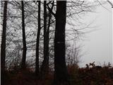 2
2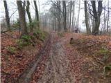 3
3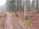 4
4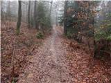 5
5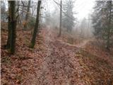 6
6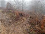 7
7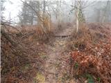 8
8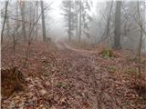 9
9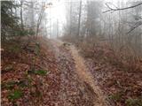 10
10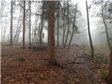 11
11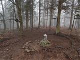 12
12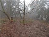 13
13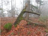 14
14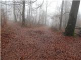 15
15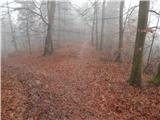 16
16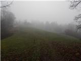 17
17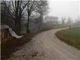 18
18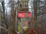 19
19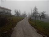 20
20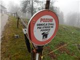 21
21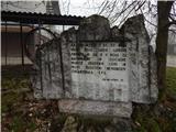 22
22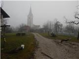 23
23 24
24 25
25
Discussion about the trail Gorjuša - Sveta Kunigunda on Tabor nad Ihanom