Starting point: Gabrje (328 m)
| Lat/Lon: | 46,0767°N 14,3848°E |
| |
Time of walking: 1 h 30 min
Difficulty: easy marked way
Altitude difference: 446 m
Altitude difference po putu: 465 m
Map: Ljubljana - okolica 1:50.000
Recommended equipment (summer):
Recommended equipment (winter):
Views: 7.196
 | 1 person likes this post |
Access to the starting point:
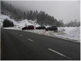
From the motorway Ljubljana - Koper take the exit Brezovica, then continue in the direction of Dobrova and Polhov Gradec. At the end of the village of Gabrje, you will come to a marked crossroads where the road to Belo, Osredek and Topol branches off to the right. Park here at a suitable place next to the transformer, or a little earlier at one of the suitable places along the road.
Path description:
On the other side of the road from the transformer, you will notice the mountain direction signs for Topole, which direct you to a worse forest road that climbs up the right side of one of the houses. The road continues to climb relatively steeply and quickly leads us to a small interesting cave from which springs a small spring. From here, continue along the road for a while, and then, when you emerge from the forest, just a few metres before a small hamlet, turn left onto a marked footpath. The path first climbs over a grassy ridge, then returns to the forest, through which it climbs for the next few minutes. At a higher level, enter a grassy hayfield and walk along it until you reach a macadam road. Continue along the road for a short distance and then signs for Katarina direct you left onto a footpath which continues to climb moderately through the forest. Higher up, the path briefly becomes completely flat and then leads to the road leading from Toško čele towards Katarina. Follow the road to the left, and a slight downhill slope leads to a small crossroads at which stands a cross.
At the cross, continue left and follow the partly asphalted road up to the village tavern, at which you will see the following mountain direction signs. Here, continue right in the direction of Sveti Jakob and follow the relatively steep road, which will take you to a larger chapel in a few minutes.
At the chapel, turn right (left Sveti Jakob) and continue along the asphalted road, which leads us after 5 minutes of further walking to the Church of St Catherine.
From the church, continue straight ahead on a slightly worse road, which begins to descend gently. The road soon becomes a lay-by, and then, partly through the forest and partly across the hillsides, it leads to a small crossroads at which there is a bench with a table. Continue straight ahead on the right-hand road, which leads us only a few 10 m further to a chapel, at which there is a marked crossroads. Continue straight ahead again and follow the wide cart track, which ends at a well-kept log cabin. Go around the log cabin on the left and continue along the steep mountain path, which will take you to the top of Jeterbenek in 5 minutes.

We can extend the trip to the following destinations: Rog,
Sveti Jakob
Pictures:
 1
1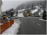 2
2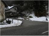 3
3 4
4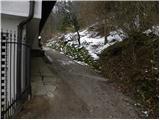 5
5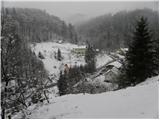 6
6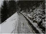 7
7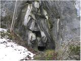 8
8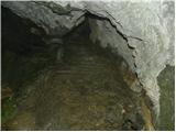 9
9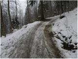 10
10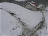 11
11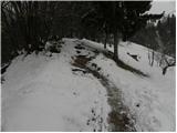 12
12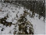 13
13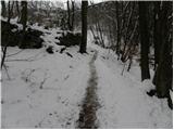 14
14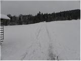 15
15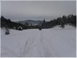 16
16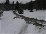 17
17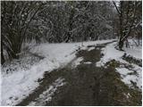 18
18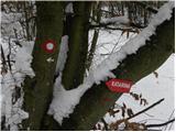 19
19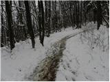 20
20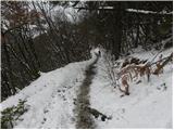 21
21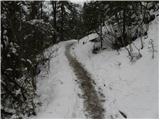 22
22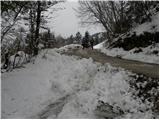 23
23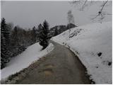 24
24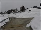 25
25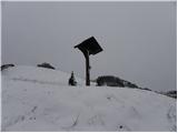 26
26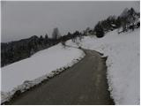 27
27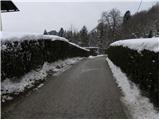 28
28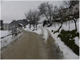 29
29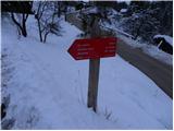 30
30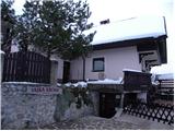 31
31 32
32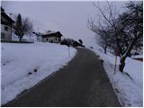 33
33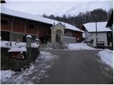 34
34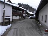 35
35 36
36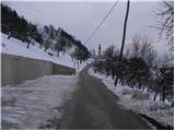 37
37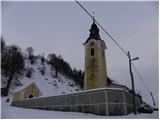 38
38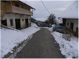 39
39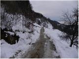 40
40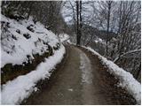 41
41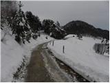 42
42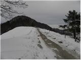 43
43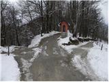 44
44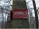 45
45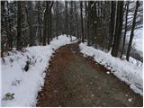 46
46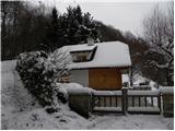 47
47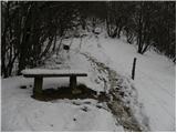 48
48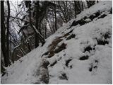 49
49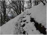 50
50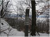 51
51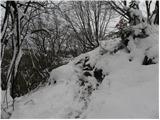 52
52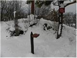 53
53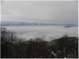 54
54 55
55
Discussion about the trail Gabrje - Jeterbenk