End of road on Vogar - Velika Zelnarica (via Štapce)
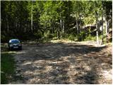
Starting point: End of road on Vogar (1350 m)
| Lat/Lon: | 46,2956°N 13,8412°E |
| |
Name of path: via Štapce
Time of walking: 5 h 50 min
Difficulty: partly demanding marked way, easy pathless terrain
Altitude difference: 970 m
Altitude difference po putu: 1250 m
Map: TNP 1:50.000
Recommended equipment (summer):
Recommended equipment (winter): ice axe, crampons
Views: 6
 | 1 person likes this post |
Access to the starting point:
Path description:
On the way: Brezno pri gamsovi glavici (1608m),
Gornji Viševnik (1680m),
Planina Viševnik (1625m),
Smodlakov brlog (1714m),
Planina Ovčarija (1660m),
Štapce (1851m),
Razpotje pod Malo Tičarico (2008m),
Odcep za Veliko Tičarico (2020m),
Odcep za Kopico (2168m),
Mala Zelnarica (2310m),
Sedlo med Zelnaricama (2222m)
Pictures:
 1
1 2
2 3
3 4
4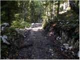 5
5 6
6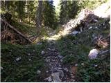 7
7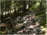 8
8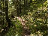 9
9 10
10 11
11 12
12 13
13 14
14 15
15 16
16 17
17 18
18 19
19 20
20 21
21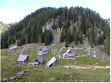 22
22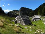 23
23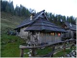 24
24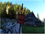 25
25 26
26 27
27 28
28 29
29 30
30 31
31 32
32 33
33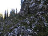 34
34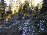 35
35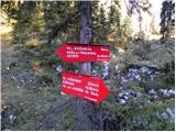 36
36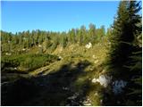 37
37 38
38 39
39 40
40 41
41 42
42 43
43 44
44 45
45 46
46 47
47 48
48 49
49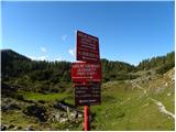 50
50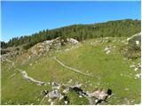 51
51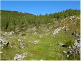 52
52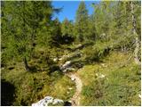 53
53 54
54 55
55 56
56 57
57 58
58 59
59 60
60 61
61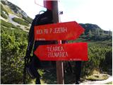 62
62 63
63 64
64 65
65 66
66 67
67 68
68 69
69 70
70 71
71 72
72 73
73 74
74 75
75 76
76 77
77 78
78 79
79 80
80 81
81 82
82 83
83 84
84 85
85 86
86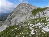 87
87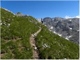 88
88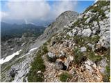 89
89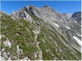 90
90 91
91 92
92 93
93 94
94 95
95 96
96 97
97 98
98 99
99 100
100 101
101 102
102 103
103 104
104 105
105 106
106 107
107 108
108 109
109 110
110 111
111
Discussion about the trail End of road on Vogar - Velika Zelnarica (via Štapce)