Starting point: Dom na Govejku (734 m)
| Lat/Lon: | 46,1148°N 14,3465°E |
| |
Time of walking: 1 h 45 min
Difficulty: easy marked way
Altitude difference: 287 m
Altitude difference po putu: 350 m
Map: Ljubljana - okolica 1:50.000
Recommended equipment (summer):
Recommended equipment (winter): crampons
Views: 17.925
 | 2 people like this post |
Access to the starting point:
From Medvode, drive to the village of Sora, from where we continue to the village of Topole (Katarina). After a few km drive from the village of Sora, we reach the Legastja Inn, and just after it we turn right onto a steep dirt road in the direction of Doma na Govejku. We follow the steep and often rain-damaged road to a marked parking area near Doma na Govejku.
If you find the road to bad, you can park in the valley at a suitable place next to the Legastja pub. This will extend the journey by about 45 minutes.
Path description:
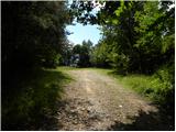
From the parking lot, first walk to the mountain lodge, then continue along the marked footpath towards Tošča. Turn left before the sign (the cross), and the path takes you just 10 m higher into the dense forest. The path continues quickly, then continues crossing the slopes of Gontarska planina (894 m). A little further on, an unmarked path branches off to the right to the summit, and we continue on the marked path, which leads us just a few minutes later to the main ridge, where we arrive at a marked crossroads.
Continue left in the direction of Tošča (right Gontarska planina 10 minutes) and continue the climb along the path, which gradually begins to climb moderately. There is a short descent through an overgrown clearing, and then the path climbs to the Na Igalah lookout point.
The path ahead is completely laid out and crosses the forested Veliki Babnik (905 m) on the right hand side. Immediately after crossing the summit, the marked path begins to descend steeply towards a forest road more than 50 metres lower. When you reach the road, follow it to the left, and at the next junctions follow the road along which you see the markings. After about 20 minutes of walking along the road, we come to a well-marked crossroads where we continue to the right in the direction of Tošča (left down Via Dida, straight ahead Grmada and the Gonte Tourist Farm) and continue our ascent along the path that returns to the dense forest. The path climbs steeply for a short distance and then flattens out to join the path from the Gonte Tourist Farm. Here, continue to the right and follow the sometimes quite steep path, which runs along and along the forested ridge, all the way to the top of the 1021 m high Tošč.

Pictures:
 1
1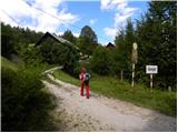 2
2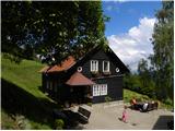 3
3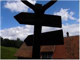 4
4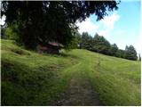 5
5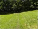 6
6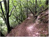 7
7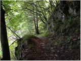 8
8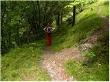 9
9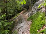 10
10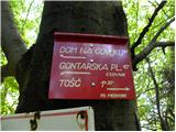 11
11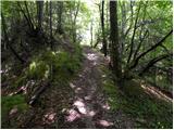 12
12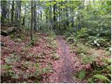 13
13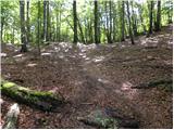 14
14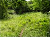 15
15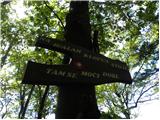 16
16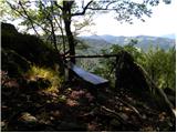 17
17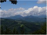 18
18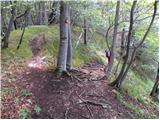 19
19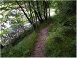 20
20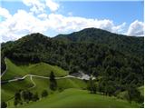 21
21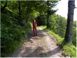 22
22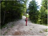 23
23 24
24 25
25 26
26 27
27 28
28 29
29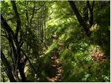 30
30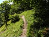 31
31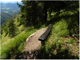 32
32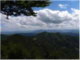 33
33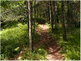 34
34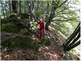 35
35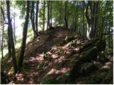 36
36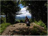 37
37 38
38
Discussion about the trail Dom na Govejku - Tošč