Starting point: Dolenja Brezovica (375 m)
| Lat/Lon: | 45,9475°N 14,4284°E |
| |
Time of walking: 2 h 10 min
Difficulty: easy marked way
Altitude difference: 732 m
Altitude difference po putu: 745 m
Map: Ljubljana - okolica 1:50.000
Recommended equipment (summer):
Recommended equipment (winter): crampons
Views: 13.517
 | 1 person likes this post |
Access to the starting point:
From the Ljubljana - Koper motorway, take the Brezovica exit and then continue in the direction of Podpeči. In Podpeč, turn right in the direction of Krimo, Rakitna, Preser and Borovnice. Soon, the signs for Rakitna direct us left onto a steeply ascending road, which quickly leads to Preserje. Here the road first descends and then leads to a crossroads where we join the road leading from the village of Kamnik pod Krim. Here we take a sharp left in the direction of Rakitna, and we follow the main road to the end of the village of Preserje, where we see signs for Dolenja Brezovica by the bus stop. We continue in the direction mentioned above, and a slightly narrower, but all the time asphalted road quickly leads us to Dolenja Brezovica, which is the starting point for our tour. There are no suitable parking places at the starting point (you can park in Preser, but this will extend the journey by 20 to 30 minutes).
Path description:
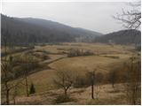
Follow the signs through the village, and at the chapel they direct you right on the macadam road, and there, after the playgrounds, continue left on cart track, which begins to climb crosswise. Cart track first climbs through lane of bushes, then climbs slightly steeper and leads to the main road leading to Rakitna.
Cross the main road carefully and then continue on the dirt road, which after a short climb turns sharp left. There is a steep ascent along a forest road, which crosses some larger meadows higher up. The marked road descends briefly higher up, then turns slightly to the left and begins a moderate climb. Follow the road for a few minutes, then the signs for Krim direct you slightly left on the ascending cart track. Continue climbing on cart track, which gradually starts to climb steeper through the forest, and this only joins the path from Preser at a higher altitude.
Here continue to the right and continue climbing along cart track, which crosses some forest roads and tracks. Higher up, the path briefly becomes fully laid out and joins the path leading from the villages Vrbljene, Tomišelj and Strahomer.
The trail climbs steeply for a short distance, then flattens out and passes through dense forest for some time, with almost no change in altitude. After a few minutes, the marked path turns right and starts to climb cross-climbing to the right. Higher up, the trail turns left, where it lays down, and then there is only a short climb to the right, and the trail leads to a macadam road leading to the Krim. Follow the road to the left, and after a further 10 minutes' walk it leads to a large parking lot and turning area below the top of Krim. Here, continue to the right and follow the road or footpath to the top of the Krim in 3 minutes.

Pictures:
 1
1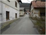 2
2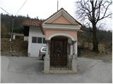 3
3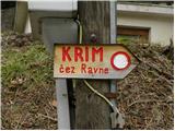 4
4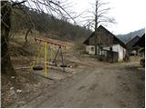 5
5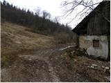 6
6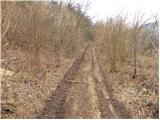 7
7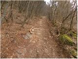 8
8 9
9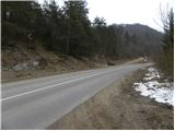 10
10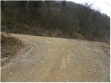 11
11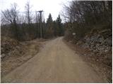 12
12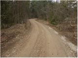 13
13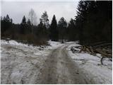 14
14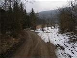 15
15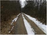 16
16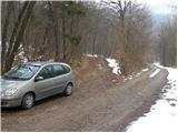 17
17 18
18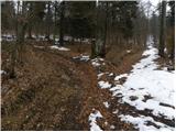 19
19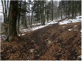 20
20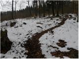 21
21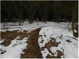 22
22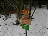 23
23 24
24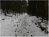 25
25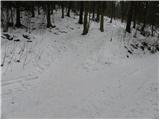 26
26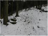 27
27 28
28 29
29 30
30 31
31 32
32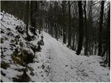 33
33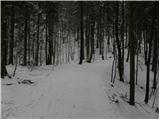 34
34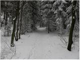 35
35 36
36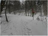 37
37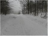 38
38 39
39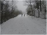 40
40 41
41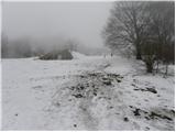 42
42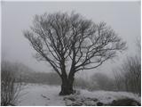 43
43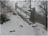 44
44 45
45
Discussion about the trail Dolenja Brezovica - Krim
|
| balon31. 08. 2013 |
Imava dva otroka in pot dolga 2 uri 10 min v eno smer je prenaporna zanju. Po kateri poti naj peljem, da pridem do slike 17, če se peljem iz Domžal in koliko je časovno hoje od te slike do vrha. Hvala vsem  
|
|
|
|
| laik31. 08. 2013 |
kar po obvoznici/avtocesti-izvoz BREZOVICA-levo proti Vrhniki-na Brezovici v semaforiziranem križišču levo proti Podpeči-v Podpeči na napol narejenem krožišču desno (smer Preserje/Rakitna).....potem pa samo po asfaltirani cesti Preserje in nato Rakitna....časovno je pa.....recimo dobra urica......"balon" ,mislim,da sem ti dolžan še "poročilo iz Kokrskega sedla"..se bo zgodilo,samo gor moram prit.... lep pozdrav vsem..glede časovnice naj me kdo popravi,prosim
|
|
|
|
| balon1. 09. 2013 |
Hvala in še 1x hvala
|
|
|
|
| julius1. 09. 2013 |
Balon@
Na zastavljeno vprašanje nisi dobil pravilen odgovor!
Ko zapustiš vas Preserje se odpelješ proti vasi Gorenja Brezovica (ne zaviješ desno v Dolenjo Brezovico) Dober kilometer nadaljuješ v smeri Rakitna in na levi strani bo odcep gozdne ceste (slika 10 na zgornjem opisu). Po cesti se nato odpelješ do slike 17. Do slike 17 ni nobenih odcepov, da bi se lahko izgubil.
Če pa z vožnjo po gozdni cesti nadaljuješ boš po približno dveh kilometrih prišel do naslednjega izhodišča (na levi strani ceste), ki vodi na Krim mimo zavetišča na Kavcu.
Vse poti so vzorno markirane in tudi smerne table so na vseh križiščih poti.
|
|
|
|
| laik1. 09. 2013 |
julius,imaš prav......površno prbral,mislil sem,da se vprašanje nanaša na pot iz domžel do izhodišča.....@balon sori @julius hvala
|
|
|
|
| balon1. 09. 2013 |
hvala obema  , laik, takoj ko pridem na kokrsko sedlo objavim slike
|
|
|
|
| balon21. 09. 2013 |
danes bili pri koči. Julius hvala za natančne napotke glede poti. Pot čudovita na momente pa dolga kot jara kača . Povzetek; priporočamo vsem družinam z otroci po 4 letu starosti.
|
|
|