Col - Javornik above Črni vrh
Starting point: Col (627 m)
| Lat/Lon: | 45,8816°N 14,001°E |
| |
Time of walking: 3 h
Difficulty: easy marked way
Altitude difference: 613 m
Altitude difference po putu: 650 m
Map: Nanos 1:50.000
Recommended equipment (summer):
Recommended equipment (winter): ice axe, crampons
Views: 10.106
 | 2 people like this post |
Access to the starting point:
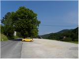
a) From the expressway Razdrto - Nova Gorica, take the Ajdovščina exit and then continue in the direction of Cola and Idrija. When you reach Col turn left towards Predmeja and then after a few metres turn right into the parking lot opposite the parish church on Col. You can also park in the parking lot next to the nearby sports ground.
b) Drive to Logatec, and from there continue to Idrija. At the end of Kalce, turn left towards Podkraj and Cola, then follow the slightly curvier road first to Podkraj, then follow the slightly flatter road to Cola. At Col, where you join the road from Ajdovščina, turn right and then after a few 10 metres turn left in the direction of Predmeja. Towards Predmeja, drive only a few metres, as just after the crossroads turn right into the parking lot opposite the church of St. Lenart.
c) Drive into Idrija, then continue towards Logatec. When you reach Godovič, leave the main road towards Logatec and turn right in the direction of Črni Vrho, Cola and Ajdovščina. When you reach Col, turn right towards Otlica and Predmeja and then right again into the nearby parking lot opposite the church.
Path description:
From the parking lot, return to the main road Ajdovščina - Godovič, then walk along it towards Godovič, but only until the crossroads, where the signs for Vodice direct you to the right onto a slightly narrower road. The asphalt road then leads past a few houses and a shoe factory, then gradually turns into a forest, through which it begins to climb moderately. Walk along the road for a while, then the signs direct you slightly right on a marked footpath, which returns to the road after a few minutes. The road then leads us to a marked crossroads where we continue to the left in the direction of Vodice (right Vodice house Nos. 1 and 2 and Podkraj). Just a little further on we arrive at the next crossroads where a macadam road branches off sharply to the right towards Sveti Duh, the asphalt road continues straight ahead, and we continue slightly to the right on a marked path that intersects a longer bend in the road. Soon we are back on the road, which then leads us along the hay fields and past the Lazar homestead. A little further along the marked shortcut, we cut another bend, and then follow the road to a crossroads where the road branches off to the left towards the hamlet of Suhi Vrh, and we continue slightly to the right towards Vodice. The road then leads us past one more house and into the woods, and gradually begins to descend. After a few minutes the forest ends and we get a view of the ridge of Križna gora.
Here, the markings lead us to the left on a macadam road and to a marked shortcut that intersects the road curve. After a short descent, we return to the road, and continue descending for some time. During the descent, a marked path branches off slightly to the right and continues parallel to the road for a few minutes before turning right into the forest. A slightly overgrown path soon leads to cart track, which turns right into the forest. Continue at several small crossroads, following the markings carefully, so that for a while you climb up the ascending track, which crosses a dirt road higher up. From the point where you cross the road, you climb quite steeply along the edge of an overgrown grassy slope. Cross another road higher up (the road leads to the Jeler homestead) and then take the wider road, which you follow to the right in the direction of Javornika. This time follow the road to a slight left turn, where a marking on a power pole directs you right into the woods. The path soon returns to the road which leads out of the forest and along it we arrive at the Rudolf homestead, from which we have a beautiful view of the surrounding hills. A little further on in the forest belt we reach the next crossroads, where we continue straight on (left Kresov hill, homestead Ježevi and also a possible approach to Javornik) along the road, which climbs crosswise. A little further on you reach a marked crossroads where you continue left (right Podkraj and Predjama) and then after 2 minutes of further walking you reach Pirnatova hut on Javornik. From the hut, continue left in the direction of the tower and Javornik. The path to Javornik first climbs across a meadow and through a strip of forest, where it crosses cart track, and then leads us to an increasingly scenic slope, from which a view opens up which, with good visibility, extends very far. The path then returns to the forest and quickly leads to the Javornik lookout tower.

Pictures:
 1
1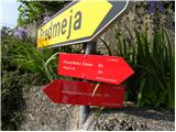 2
2 3
3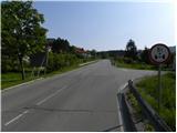 4
4 5
5 6
6 7
7 8
8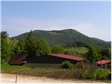 9
9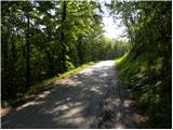 10
10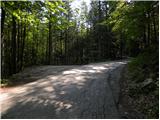 11
11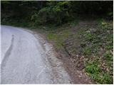 12
12 13
13 14
14 15
15 16
16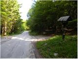 17
17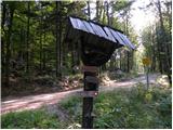 18
18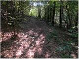 19
19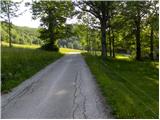 20
20 21
21 22
22 23
23 24
24 25
25 26
26 27
27 28
28 29
29 30
30 31
31 32
32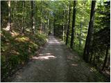 33
33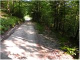 34
34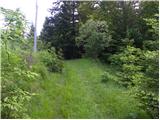 35
35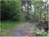 36
36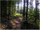 37
37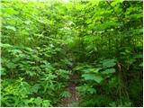 38
38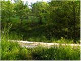 39
39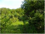 40
40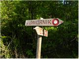 41
41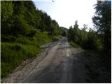 42
42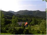 43
43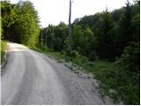 44
44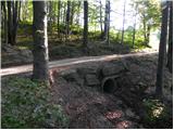 45
45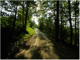 46
46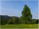 47
47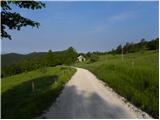 48
48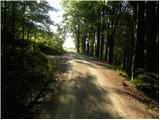 49
49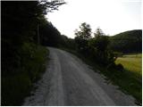 50
50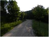 51
51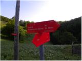 52
52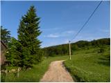 53
53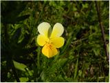 54
54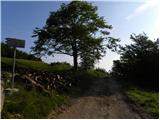 55
55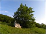 56
56 57
57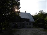 58
58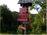 59
59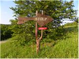 60
60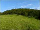 61
61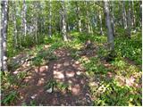 62
62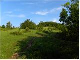 63
63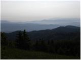 64
64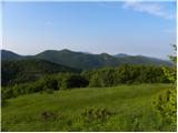 65
65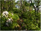 66
66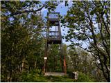 67
67 68
68
Discussion about the trail Col - Javornik above Črni vrh
|
| D0men13. 09. 2022 12:33:28 |
Stolp na vrhu ni več izpraven in je zaprt. Je potrebna nova konstrukcija. 
|
|
|