Cerkno - Štor (via Kladje)
Starting point: Cerkno (324 m)
| Lat/Lon: | 46,1261°N 13,9839°E |
| |
Name of path: via Kladje
Time of walking: 2 h 40 min
Difficulty: easy marked way
Altitude difference: 681 m
Altitude difference po putu: 700 m
Map: Škofjeloško in Cerkljansko hribovje 1:50.000
Recommended equipment (summer):
Recommended equipment (winter):
Views: 561
 | 1 person likes this post |
Access to the starting point:
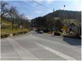
From the road Idrija - Tolmin (you can also take the road via the pass Kladje, Davča, Leskovice. . . ), drive to Cerkno, where you can park in one of the car parks in the centre or outskirts of the town.
Path description:
From Cerkno continue on the main asphalt road towards Škofja Loka. Walk along the main road for a while and notice a few rare markings along the way. After about 20 minutes of not very safe walking (we are walking on a winding and sometimes quite busy main road), the road makes its first sharp left turn. Just before this turn, the signs direct us to the right onto a side road, which leads to a small hamlet. We walk past a few houses, then the asphalt is replaced by macadam, and we follow the road for only a few more 10 steps, as the signs then direct us to the left to the ascending and marked cart track (you can also drive here, which shortens the journey by about 30 minutes, while avoiding walking on the main road).
Follow cart track quickly up to the nearby meadow, and at the top edge of the meadow the marked path turns right into the forest. There is a few minutes' climb through the dense forest, then cross the forest road and continue the climb along the waymarked path. Cross the road and some tracks again, and then emerge from the forest to a small wooden hut. Above the hut, the track we are walking on turns left, and we leave it here and climb over the initially steep grassy slope to a nearby farmhouse, where we get on the road. We walk along the road for only a short distance, and then signs direct us to the right onto a wide track which splits into two parts higher up. Continue along the left-hand one, which soon becomes completely flat, and then, crossing the slopes to the left, leads to a small hamlet. Behind the hamlet, from which we have a beautiful view of the surrounding hills, the kolovoz, or worse road, starts to climb moderately and after a few minutes of further walking leads us to the centre of the village Podlanišče, where there is a marked crossroads.
From Podlanišče or the Kladje pass, continue eastwards along the road towards Ermanovec. The road first climbs past a few houses, then reaches a point where the marked path to Škofje branches off to the left, and we continue along the road. The road continues through the forest for a short distance, then alternately through hay fields and through the forest again, passing a few individual houses. Higher up, in the area called Laniše ravan, the path from Franja Hospital (also the path from Cerkno - the path through Planina pri Cerknem and the path from Škofja) joins us from the left, and we continue just a little further on, at a small hamlet, slightly to the left on the road in the direction of the footpath to Ermanovec. On the macadam road we climb in 10 steps to a lookout ridge, and there the signs for Ermanovec direct us slightly right to a track, which we quickly climb up to the forest. Continue through the forest, following the signs at the crossroads, and the path leads to the fortifications of the former Rapallo frontier, where the path ends. A little further on, we leave the forest, and then walk in a slight downhill to the asphalt road, which we left some time ago, and which we reach through the yard of a nearby house. When we get on the road we continue in the direction of Ermanovec, and the path first leads us past the information board (Path along the rapali border), and a little further on past the old chapel, behind which we are joined on the left by the marked path from Kopačnice.
Continue straight ahead, and in a few minutes you will reach the Ermanovec Cottage.
Behind the hut we see a mountain direction sign for Štor, which directs us slightly to the left, on a footpath that climbs steeply through the forest. The path quickly lays down and leads us out of the woods to a meadow with a view, where the markings end. Here, continue right into the dense forest and ascend along a gently sloping unmarked path, which, within 2 minutes of further walking, leads to an undistinguished and wooded summit.

Pictures:
 1
1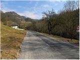 2
2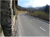 3
3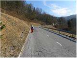 4
4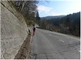 5
5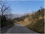 6
6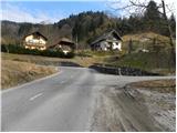 7
7 8
8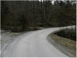 9
9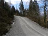 10
10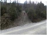 11
11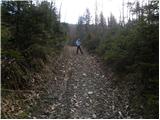 12
12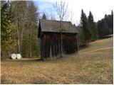 13
13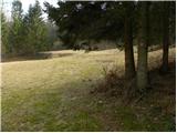 14
14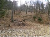 15
15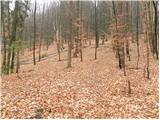 16
16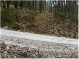 17
17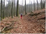 18
18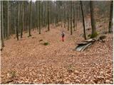 19
19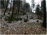 20
20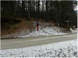 21
21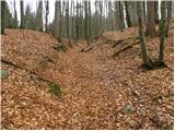 22
22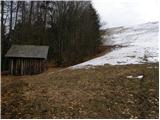 23
23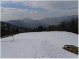 24
24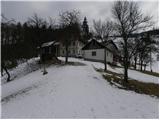 25
25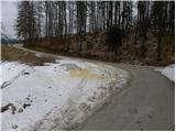 26
26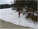 27
27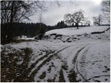 28
28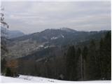 29
29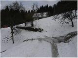 30
30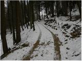 31
31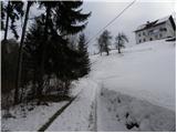 32
32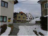 33
33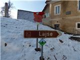 34
34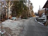 35
35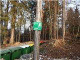 36
36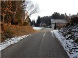 37
37 38
38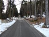 39
39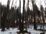 40
40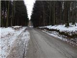 41
41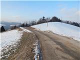 42
42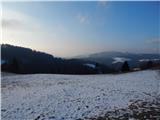 43
43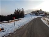 44
44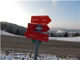 45
45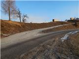 46
46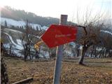 47
47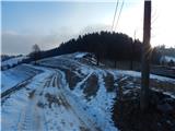 48
48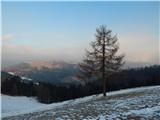 49
49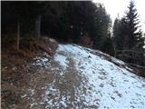 50
50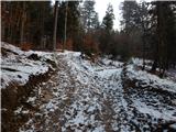 51
51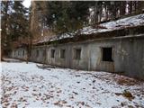 52
52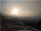 53
53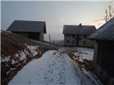 54
54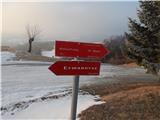 55
55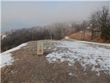 56
56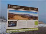 57
57 58
58 59
59 60
60 61
61 62
62 63
63 64
64 65
65 66
66 67
67 68
68 69
69 70
70 71
71 72
72
Discussion about the trail Cerkno - Štor (via Kladje)