Brinje - Planica (via Borovje)
Starting point: Brinje (1040 m)
| Lat/Lon: | 46,4749°N 13,9566°E |
| |
Name of path: via Borovje
Time of walking: 2 h 15 min
Difficulty: partly demanding unmarked way
Altitude difference: 468 m
Altitude difference po putu: 550 m
Map: Kranjska Gora 1:30.000
Recommended equipment (summer):
Recommended equipment (winter): ice axe, crampons
Views: 4.995
 | 2 people like this post |
Access to the starting point:
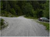
Leave the Gorenjska motorway at exit Jesenice - West (Hrušica) and continue to Kranjska Gora. After about 5 km drive from the town, when we have left the motorway, the signs for Dovje direct us to the right. Drive into the above-mentioned town, through which follow the signs for Kepa and Dovško Baba. Shortly above Dovje, the asphalt ends, and the road leads us only about 100 m further to a marked crossroads, where the signs for Kepa direct us to a sharp left (straight Dovška Baba). Continue driving for some time, "overlooking" all the smaller crossroads. Higher up, you will come to a slightly larger junction where the road to Vrse rovt branches off to the left, and the road to Erjavčev rovt continues straight ahead (signs by the road to Kepa). Park at the parking lot by the junction, but you can also continue driving along the road to the left for a while.
Path description:
From the parking lot, take the road to the left, which starts to climb moderately, then completely lays down and crosses the slopes to the left. The road, which occasionally offers beautiful views of Julian Alps, leads after about 15 to 20 minutes to a place where you will see a small cairn on the right hand side, where a path branches off and leads to Borovje.
Here continue right along the above-mentioned path (it is also possible to go straight across the Vrse ravine), but it climbs steeply at first and then turns into a fern, where it slowly begins to disappear, and higher up it joins the forest logging trail which you follow to the right. When the slope flattens out, turn slightly to the left and climb up to a nearby small spring (water trough), above which you quickly reach a small, at first still indistinct ridge (you can also get here via the Vrse rovt).
Once on the ridge, the path becomes more visible and gradually steeper. The path continues along the occasionally slightly exposed ridge (especially in wet and snowy conditions, more caution is needed), from which beautiful views open up here and there. The way forward leads us past the bench, and then the signs for Borovje (on the signboard to the cross), direct us left to the slope, over which we begin to climb steeply. The rather steep path, which passes through the forest, gradually lays down higher up and turns slightly to the right. Here, the path that we will follow later towards Planica joins from the left, and we continue to the right, crossing to the right for a while. After a short crossing, we emerge from the forest into a rockier world, over which we climb a slightly exposed slope to the cross at Borovje.
From the top, return to the aforementioned crossroads and continue to the right (looking in the direction of descent). The way forward first descends across a relatively steep slope, then lays down and leads to a wooded ridge. After a minute or two of easy walking, the path starts to descend steeply towards the saddle between Borovje and Planica.
When you reach the saddle called Šija 1, continue left upwards (left down the Vrse rovt, straight Mittagskogel over Kurejeke, right down the more difficult trackless path to Erjavčev rovt) on the path that starts to climb up the side ridge. Climb up the ridge for a short time, then the path turns slightly to the left and leads to the main ridge of Planica. Here we continue to the left and continue our ascent along and along the ridge, which at first only rarely opens up views towards Kepa and the surrounding peaks. A little higher up, the track flattens out and passes to the left side of the ridge, where it occasionally crosses a few slopes with views. Higher up, the path returns to the ridge, which narrows and becomes exposed in places. After crossing an exposed ridge, the path returns gently into the forest and then crosses another gently exposed ravine in a gentle descent. There is a short steep climb and the increasingly scenic route leads to the top of Planica.

Pictures:
 1
1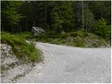 2
2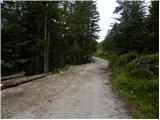 3
3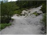 4
4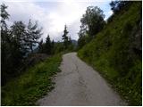 5
5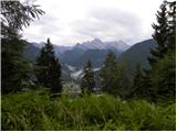 6
6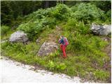 7
7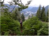 8
8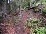 9
9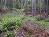 10
10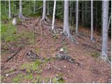 11
11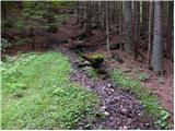 12
12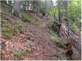 13
13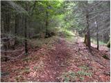 14
14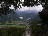 15
15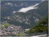 16
16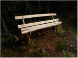 17
17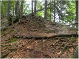 18
18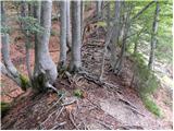 19
19 20
20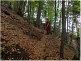 21
21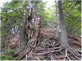 22
22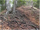 23
23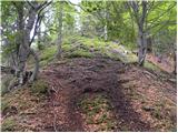 24
24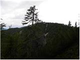 25
25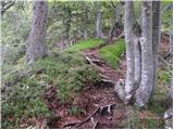 26
26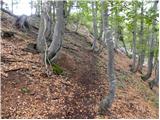 27
27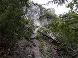 28
28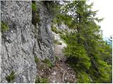 29
29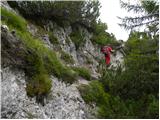 30
30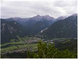 31
31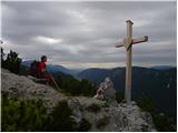 32
32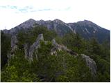 33
33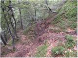 34
34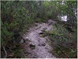 35
35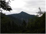 36
36 37
37 38
38 39
39 40
40 41
41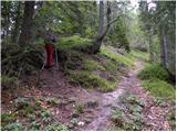 42
42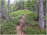 43
43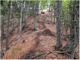 44
44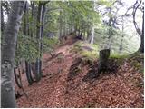 45
45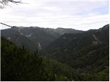 46
46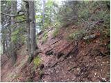 47
47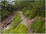 48
48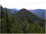 49
49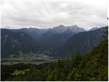 50
50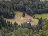 51
51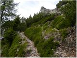 52
52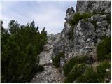 53
53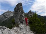 54
54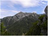 55
55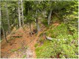 56
56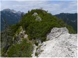 57
57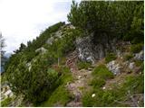 58
58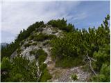 59
59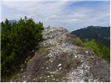 60
60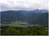 61
61
Discussion about the trail Brinje - Planica (via Borovje)