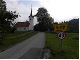
Starting point: Brezje (640 m)
| Lat/Lon: | 45,8093°N 14,3822°E |
| |
Time of walking: 2 h 15 min
Difficulty: easy marked way
Altitude difference: 474 m
Altitude difference po putu: 474 m
Map: Snežnik 1:50.000
Recommended equipment (summer):
Recommended equipment (winter):
Views: 18.410
 | 6 people like this post |
Access to the starting point:
From the motorway Ljubljana - Koper take the exit Unec and follow the road towards Cerknica. Just 100 m before Cerknica, you will reach a crossroads where the road to Begunje and Slivnica branches off to the left. Take the road mentioned above and follow it to the village of Begunje pri Cerknici. Here, at the Church of St Andrew, you will come to a crossroads, where you continue to the right in the direction of the village of Brezje. Next, cross the Cerkniščica River, and the road starts to climb moderately after that, leading us only slightly further to a crossroads in the immediate vicinity of the village of Brezje. Continue sharp left and after a few metres of further driving you will reach the Church of St. George in Brezje. There are no suitable parking spaces in the village, so it is better to park a little further down the road in one of the car parks.
Path description:
From St George's Church, walk through the village, then continue the ascent along a narrow macadam road, which climbs only slightly. After a few minutes of easy walking, the signs for Slivnica direct us to the right, onto the occasionally overgrown cart track, which crosses a forest road ahead. After crossing the road, the path returns to the forest, and after a few steps leads to a wider road leading to Slivnica. Follow the road to the left, which leads you past the Snake Spruce (a natural landmark along the way). A little further on, the marked path intersects a right-hand bend and returns to the road just at the left-hand bend. There is also a small crossroads, and we continue along the wider macadam road, which we then follow for quite some time. After a few km of gentle ascent, we come to a marked crossroads where we continue sharp right in the direction of the house on Slivnica (to the left a hunting lodge). The road, which then gradually transitions from forest to partly grassy slopes, leads us higher up to a crossroads where we continue along the upper left road (to the right the house on Slivnica 100 m). Follow the road to its end, then continue left along the marked footpath, which takes you through the lane raspberry groves to the 1114 m summit in a few minutes of further walking.

Pictures:
 1
1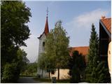 2
2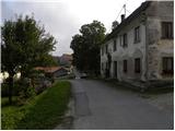 3
3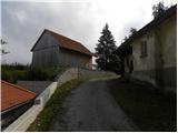 4
4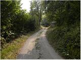 5
5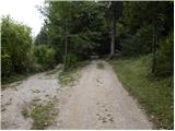 6
6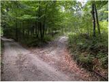 7
7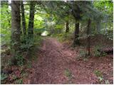 8
8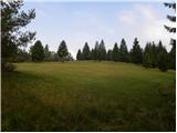 9
9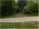 10
10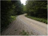 11
11 12
12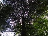 13
13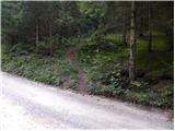 14
14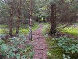 15
15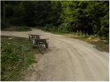 16
16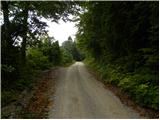 17
17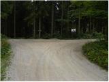 18
18 19
19 20
20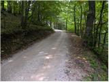 21
21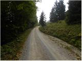 22
22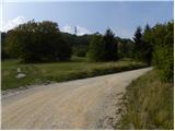 23
23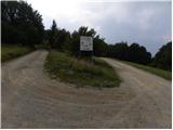 24
24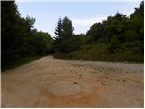 25
25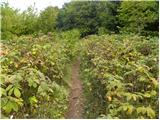 26
26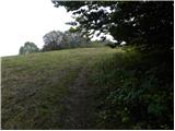 27
27 28
28
Discussion about the trail Brezje - Slivnica
|
| VanSims4. 05. 2020 |
Opis je v zgornjem delu pomanjkljiv, pot še zdaleč ne poteka samo po cesti, razen če so jo vmes preusmerili.
|
|
|