Blečji vrh - Gradišče (via Kucelj)
Starting point: Blečji vrh (550 m)
| Lat/Lon: | 45,9892°N 14,7277°E |
| |
Name of path: via Kucelj
Time of walking: 1 h 30 min
Difficulty: easy marked way
Altitude difference: 156 m
Altitude difference po putu: 300 m
Map: Ljubljana - okolica 1:50.000
Recommended equipment (summer):
Recommended equipment (winter):
Views: 11.060
 | 1 person likes this post |
Access to the starting point:
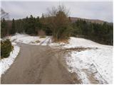
From the Ljubljana - Novo mesto motorway, take the Hotel Grosuplje exit (not the Grosuplje and Šmarje - Sap exits) and follow the road towards Polica village. In the village mentioned above, continue driving in the direction of the village Blečji vrh. Above the village Blečji vrh you will come to a small crossroads where you leave the asphalted road and continue straight ahead on a marked dirt road along which you will park.
Police can also be reached from the direction of Višnjegorská.
Path description:
From the starting point, continue along the macadam road along which you parked. After a few steps, we see a sign on the side of the road indicating that we are entering a bear area. After a few minutes of walking, we reach a crossroads, where we continue our ascent slightly to the left, continuing along the dirt road (straight the path of the two waterfalls). The road then begins to climb steeply and quickly leads us to the next less well-marked crossroads, where we continue along the left-marked road.
The road then descends steeply, crosses a torrential stream and climbs steeply after it. At the next crossroads, at which you see another sign indicating that you are in a bear area, continue to the right. The road, which climbs quite steeply at times, leads us out of the wods after about 40 minutes of walking, where we see a larger cross on the left-hand side. Continue straight on the deteriorating road, which turns into cart track and leads us in a few further steps of easy walking to the top of Kuclja, which is recognisable by a small geodesic tower.
From the top of Kuclja we continue slightly to the right along an initially slightly less visible path along which we soon notice markings (the path of the two waterfalls) that direct us right down into the forest. The path cart track soon passes out of the forest into a slightly larger clearing and then returns to the forest. At a lower level, you will come to an asphalted road which leads down to a crossroads in the village of Gornje Brezovo.
At the crossroads, continue sharp left along the marked road, which you then follow for just over 100m to a point where you see a marking on the road, which directs you to the right to cart track, which begins to climb gently over grassy hayfields. Cart track turns slowly to the left, then turns sharp right and gradually turns into an initially less visible footpath. The path then turns slightly more to the right and continues to climb steeply up the right-hand side of a grassy slope. Higher up, the path crosses a short lane of wodland and leads us a few steps further to the top of a large cross with a bench below.

Pictures:
 1
1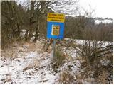 2
2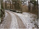 3
3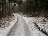 4
4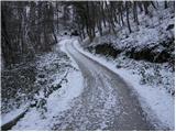 5
5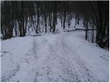 6
6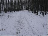 7
7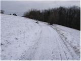 8
8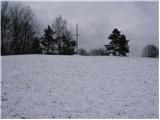 9
9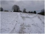 10
10 11
11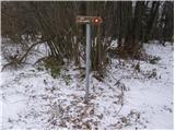 12
12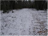 13
13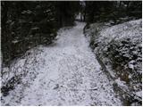 14
14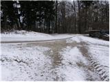 15
15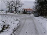 16
16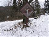 17
17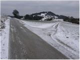 18
18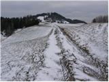 19
19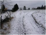 20
20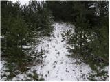 21
21 22
22
Discussion about the trail Blečji vrh - Gradišče (via Kucelj)