Starting point: Blagovica (412 m)
| Lat/Lon: | 46,1763°N 14,8022°E |
| |
Time of walking: 1 h 30 min
Difficulty: easy marked way
Altitude difference: 544 m
Altitude difference po putu: 550 m
Map: Posavsko hribovje - zahodni del 1:50.000
Recommended equipment (summer):
Recommended equipment (winter):
Views: 15.050
 | 1 person likes this post |
Access to the starting point:
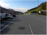
From the motorway Ljubljana - Maribor, take the exit Blagovica and then continue driving towards the above-mentioned place. Just 10 m after the Blagovica sign, leave the main road and turn left into the centre of the village, where you can park in one of the several car parks.
Path description:
Start your journey in the centre of Blagovica, where you will see the signs for Špilk. The trail initially leads us along an asphalted road, but we follow it only to the end of the village, where signs direct us to the right onto a worse dirt road. We follow the road for a short time, then we see a marking on a power pole that directs us to a climbing footpath. Continue up the well-marked path, which crosses the lane of the forest, and then leads to a larger grassy slope, where the path is temporarily lost. Cross the grassy slope and continue in roughly the same direction as before. Higher up, we cross another short lane of forest, and then the track loses itself again in grassy hay meadows. Cross this meadow again in roughly the same direction, and then take the cart track, which quickly leads to a small signpost, after which you come to some houses.
Continue past a few houses and then continue your ascent along the asphalted road, which quickly leads you to a marked crossroads. Continue in the direction of Špilko and continue along the road for some time, which soon becomes macadam. Higher up, we cross an asphalt road, and we continue along the wide cart track, which climbs higher up over a scenic slope. Cart track approaches the houses higher up, and we continue to the left on a slightly steeper and still well-marked path only a few 10 m before them. Higher up, the path (partly cart track), with fine views of Golčaj and Limbarska gora, leads us to the next hamlet, through which we follow the signs for Špilk. Follow the asphalt road up above the hamlet, then continue left along the dirt road, which gradually turns more and more to the right. Higher up, leave the wods and enter a meadow with a view of Menino mountain pasture, where you will come to a marked crossroads.
Continue to the right (NOB monument on the left, Kekec on the slight left) along the wide cart track, which descends gently along the edge of the pastures. As soon as the path leads into the forest, the signs for Špilk direct us to the right on a relatively steep footpath, which in less than 10 minutes of further walking takes us to the summit, in the middle of which stands a small bivouac.

Pictures:
 1
1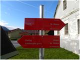 2
2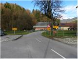 3
3 4
4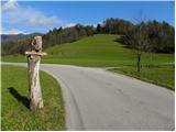 5
5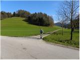 6
6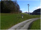 7
7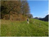 8
8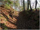 9
9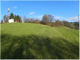 10
10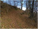 11
11 12
12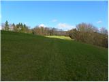 13
13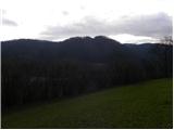 14
14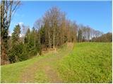 15
15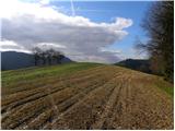 16
16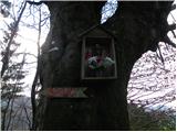 17
17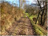 18
18 19
19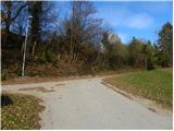 20
20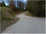 21
21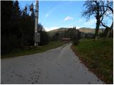 22
22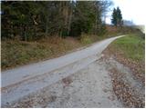 23
23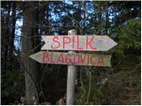 24
24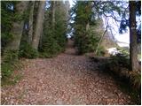 25
25 26
26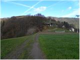 27
27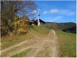 28
28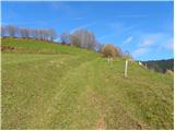 29
29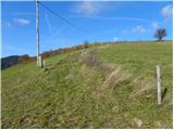 30
30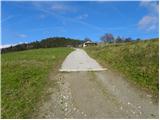 31
31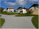 32
32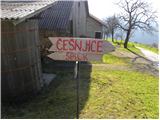 33
33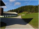 34
34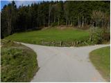 35
35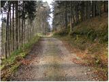 36
36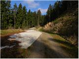 37
37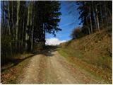 38
38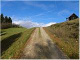 39
39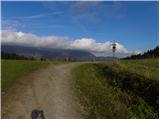 40
40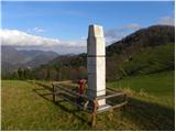 41
41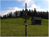 42
42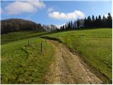 43
43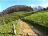 44
44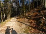 45
45 46
46 47
47 48
48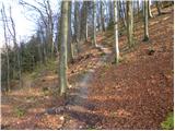 49
49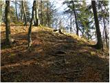 50
50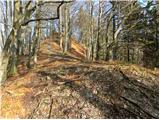 51
51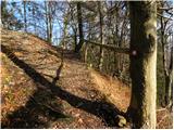 52
52 53
53
Discussion about the trail Blagovica - Špilk
|
| bruny30. 10. 2011 |
 Danes po poti na Špilk iz centra Blagovice - ,,Blagovce,, do naselja Gabrje pod Špilkom kot izhodiščni poti za zahodni krak Rokovnjaške planinske poti - dalje proti Selcam - Češnjicam -...Pot je odlično opisana v ,,nulo,, - lep preplet gozdnih in travniških poti - je pa kar potrebno stopiti, ker višinci kar lepo rastejo do Gabrja pod Špilkom...
|
|
|
|
| CarpeDiem2477. 08. 2022 12:47:12 |
Danes na NOB proslavi tule v bližini in potem le še 10minut do bivaka. Naslednjič grem gor s kolesom, iz Šmartnega v Tuhinju, je fajna cesta.
|
|
|