Starting point: Bistra (295 m)
| Lat/Lon: | 45,9458°N 14,3327°E |
| |
Time of walking: 1 h 45 min
Difficulty: easy marked way
Altitude difference: 512 m
Altitude difference po putu: 512 m
Map: Ljubljana - okolica 1:50.000
Recommended equipment (summer):
Recommended equipment (winter):
Views: 4.720
 | 1 person likes this post |
Access to the starting point:
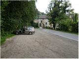
From the Ljubljana - Koper motorway, take the Vrhnika exit and follow the road towards Bistra, where you can park in the larger parking lot behind the Bistra castle.
Path description:
From the parking lot, you first walk to the castle, where signs for a forest trail direct you to the steps that lead up to a rather overgrown path. Continue up the path, which after a short climb through the scrub leads to the tower of Bistra Castle.
From the tower, we continue along a barely visible and very overgrown mountain path, which leads us higher up to the double-track railway line. Next, with great care, cross the line and continue climbing along a slightly less overgrown path. After a few minutes of further ascent, we enter a forest road, which we follow to the left. The road continues to climb steeply and quickly leads to the next crossroads, where we continue to the left. Continue climbing along the forest road, which leads us to the next crossroads, where the path from Borovnica joins us on the left.
Continue straight ahead along the marked road towards Zavrha. The road climbs moderately for some time, then ends at the crossroads of the numerous cart track.
From the end of the road, continue along the marked cart track, which continues to climb through dense forest. Higher up, the cart track becomes a footpath, which leads out of the forest onto slightly more scenic grassy slopes. A little further on, we reach a paragliding take-off point, from where we have a beautiful view of the Ljubljana Marshes. From here, we continue for just 10 m and the path that continues on through the grassy slopes quickly leads us to the inexpressive summit of Malý Trebelnik.

Pictures:
 1
1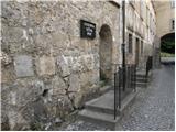 2
2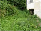 3
3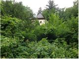 4
4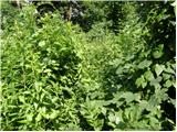 5
5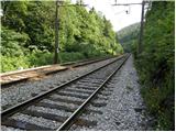 6
6 7
7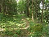 8
8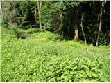 9
9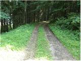 10
10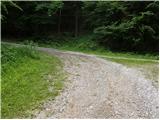 11
11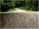 12
12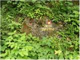 13
13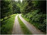 14
14 15
15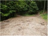 16
16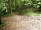 17
17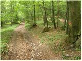 18
18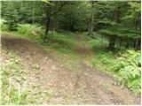 19
19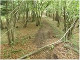 20
20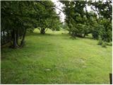 21
21 22
22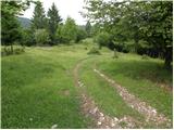 23
23 24
24
Discussion about the trail Bistra - Mali Trebelnik
|
| prepihec13. 05. 2025 07:16:36 |
Pot je nekoliko spremenjena. Ne začne se na stopnicah, ampak pre gradom po travnatem pobočju. Pa tudi prečenje proge ni več potrebno, saj je pot speljana skozi podhod pod progo. Je pa cela pot kar lepo shojena, tako da ni težav z orientacijo.
|
|
|