Starting point: Bavšica (698 m)
| Lat/Lon: | 46,3699°N 13,6299°E |
| |
Time of walking: 5 h
Difficulty: very difficult marked way, very difficult pathless terrain
Altitude difference: 1626 m
Altitude difference po putu: 1640 m
Map: Julijske Alpe - zahodni del 1:50.000
Recommended equipment (summer): helmet, self belay set
Recommended equipment (winter): helmet, self belay set, ice axe, crampons
Views: 8.296
 | 4 people like this post |
Access to the starting point:
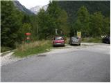
From the Bovec - Predel road, an asphalted road branches off to the right at the Kluže Fortress into the Bavšice valley. Take the road and follow it in a moderate ascent to the parking lot in Bavšica (the parking lot is located next to the TNP sign).
Path description:
From the parking lot, turn left on the worse road in the direction of the shelter under Špičko and mountain pasture Bala (Bavški Grintavec on the right) and follow it for 5 minutes to the place where the markings direct us left on the initially wide footpath. The path soon narrows and leads to a small crossroads where the markings direct us sharp right, onto a gradually steeper path. The path soon becomes more steep and leads to the abandoned village of Logje (there is drinking water just a few metres off the path).
From the village Logje, continue on the marked path, which continues over a gentle grassy slope. The path then climbs a little steeper and turns into a partly rocky area (scree covered with tall grass). The path then re-grades and turns into a dense forest, where it then continues until it reaches the abandoned mountain pasture Bala.
From mountain pasture continue along the marked path, which then leads through lane of a forest to the last small well along the path. Only a few 10 m behind the well, you can see the Bala hunting lodge.
At the hunting lodge, continue straight ahead and then climb for some time through the forest. There is a short climb over a grassy slope (Jezerce, 1389 m) and then a climb through the forest again. When you emerge from the forest for the last time, there is only a short climb to the unmarked saddle of Prevala, 1560 m.
From the saddle, where there is also a less visible crossroads, continue straight along the valley, and to the right a less well-trodden path branches off towards Vrhu Osojnika. Here you first descend a few steps and then continue along the initially still very steep valley. The path becomes steeper and starts to climb towards the Čez Brežice saddle.
At the saddle, continue to the right where the inscription on the rock "Špička" directs you. Initially, we climb up along the left-hand steel cable, and then the path leads us to a grassy slope on which we climb for some time. When you reach the base of the Mali Ozebnik wall, continue to the right and cross the precipitous slopes at a slight incline along the rope. In a few places there is also a lot of rubble on the path, so extra caution is needed. The trail then leads to a short, very difficult part of the trail. With the help of a rope and a few pegs, climb vertically and then cross the vertical slope to the right for a few metres. The path then climbs up a slightly less steep, but unprotected slope and then climbs up very rough terrain to the stumps behind the Castle. From the stumps, continue left on an unmarked path that leads to a grassy slope. Here, continue left and climb up the grassy slope. The slope here is very steep and also dangerous for slipping. When you reach the ridge, continue to the right and follow the exposed ridge to the top.

Pictures:
 1
1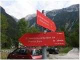 2
2 3
3 4
4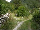 5
5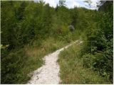 6
6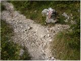 7
7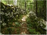 8
8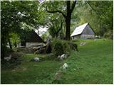 9
9 10
10 11
11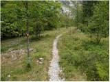 12
12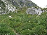 13
13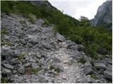 14
14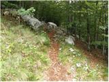 15
15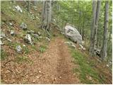 16
16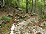 17
17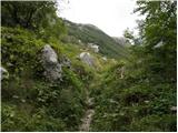 18
18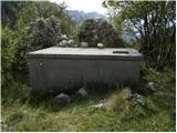 19
19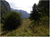 20
20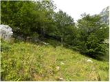 21
21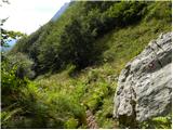 22
22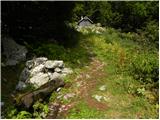 23
23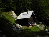 24
24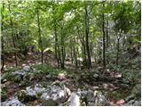 25
25 26
26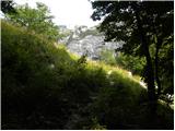 27
27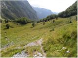 28
28 29
29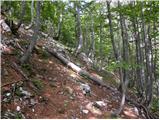 30
30 31
31 32
32 33
33 34
34 35
35 36
36 37
37 38
38 39
39 40
40 41
41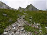 42
42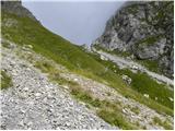 43
43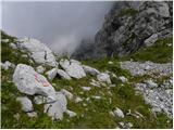 44
44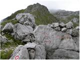 45
45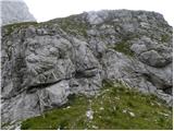 46
46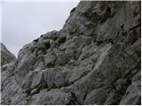 47
47 48
48 49
49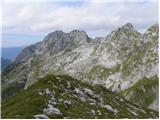 50
50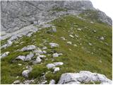 51
51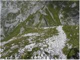 52
52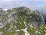 53
53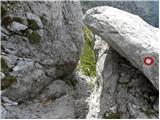 54
54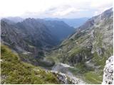 55
55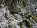 56
56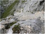 57
57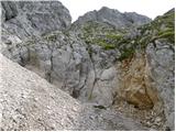 58
58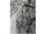 59
59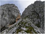 60
60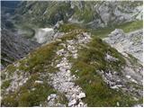 61
61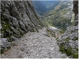 62
62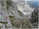 63
63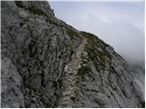 64
64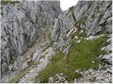 65
65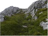 66
66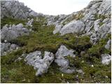 67
67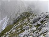 68
68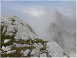 69
69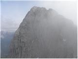 70
70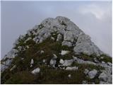 71
71
Discussion about the trail Bavšica - Mali Ozebnik
|
| capraibex11. 07. 2021 11:45:15 |
Včeraj vzpon na Mali ozebnik in Špiček.Proti Ozebniku še kar nekaj snežišč,ki se jih lahko zaobide.Vzpon na Špiček zahteva zbranost zaradi izjemno krušljivega vrha.Izhodišče Zadnja Trenta, malo obiska na omenjenih vrhovih.
|
|
|