Bad Kleinkirchheim - Wöllaner Nock
Starting point: Bad Kleinkirchheim (1087 m)
| Lat/Lon: | 46,8118°N 13,7767°E |
| |
Time of walking: 3 h 45 min
Difficulty: easy marked way
Altitude difference: 1058 m
Altitude difference po putu: 1058 m
Map:
Recommended equipment (summer):
Recommended equipment (winter): ice axe, crampons
Views: 3.637
 | 2 people like this post |
Access to the starting point:
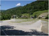
a) Drive through the Karavanke tunnel into Austria, then continue along the Tur Autobahn, leaving the Beljaz bypass and driving towards Treffen am Ossiacher See, Afritz am See, Feld am See and, after this, turn right towards the well-known ski resort of Bad Kleinkirchheim (Bad Kleinkirchheim). Park in the large parking lot opposite the petrol station.
b) From Styria or Carinthia, first drive to Dravograd and then via Border crossing Vič to Austria, following the signs for Klagenfurt / Klagenfurt. Continue on the so-called Southern Motorway, leaving at Klagenfurt (direction Feldkirchen). Continue along the regional road to reach the aforementioned town. In Feldkirchen, turn right towards the Turacher Höhe pass and continue past Himmelberg, Gnesau and Mitterdorf to Wiedweg, where you turn left towards the famous ski resort of Bad Kleinkirchheim. Park in the large parking lot opposite the petrol station.
Path description:
At the eastern edge of the parking lot, you will see an asphalt path which, after a few metres of walking along the stream, leads to a narrow asphalt road where you will see signs for Talweg, Rottenstein and Kaiserburg. Follow the asphalt road between the houses for a short distance before arriving at a marked crossroads where you turn left over a small bridge crossing the Ottingerbach stream (to the right is the road leading to Waldtratte and on to the upper station of the circular cable car).
On the other side of the stream the path turns right and continues to climb along the edge of the forest. Climb for some time along a fairly overgrown path, which crosses cart track higher up, after which it turns into a dense forest. Higher up, the track widens, and after a further climb of a few minutes, it leads to the wide cart track, which is followed to the right. The path then crosses a larger clearing, and then the widening cart track leads over a small bridge, after which you arrive at a marked crossroads.
After the little bridge, continue left into the dense forest (right along the Waldtratte road for 20 minutes), then the path turns right and after a short steep climb leads to the edge of the ski slope. Continue along the ski slope for a short distance, then the path leads to cart track, which is ascended in a few minutes to a point where the waymarked path crosses another wider cart track. Continue straight up the moderately steep mountain path, which leads higher up to the smaller mountain pasture, where there are a few wooden huts.
At mountain pasture, step onto a macadam road, which will take you up in a few minutes to the next marked crossroads, which is located at the bottom station of two cable cars.
Here, continue to the right towards the top of Wöllaner Nock, following the path which quickly leads to a small house at the bottom station of the 'right' cable car. Here the path disappears and we continue under the lift, where we quickly notice the markings and the occasional less well-trodden path. Higher up, the track becomes more visible and then turns right, where it starts to disappear again. Next we cross the ski slope, and a little higher up the trail leads to a forest road, which we walk along to a sharp left turn, where a marked footpath branches off to the right downhill to hut Rossalmhütte.
Continue left here (right Rossalmhütte 2 minutes) and walk along the road for about 50 m, then signs direct you slightly right on a marked footpath which begins to climb steeply along a grassy ridge. The path, which offers increasingly beautiful views, takes a few minutes to reach the upper station of the circular cable car.
From here, you can climb to Kaiserburg in 2 minutes and then continue towards the summit of Wöllaner Nock. From Kaiserburg, the trail runs almost horizontally for a while along a scenic ridge, then begins to climb steeply and, with views of the surrounding mountains, leads in 15 minutes to a vast summit, in the middle of which stands a large cross.

Pictures:
 1
1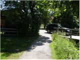 2
2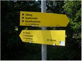 3
3 4
4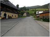 5
5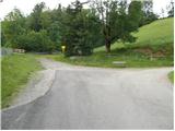 6
6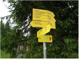 7
7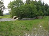 8
8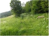 9
9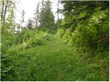 10
10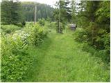 11
11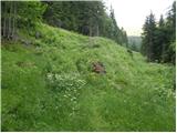 12
12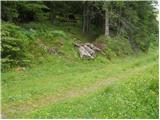 13
13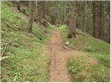 14
14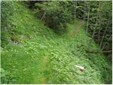 15
15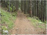 16
16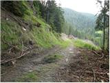 17
17 18
18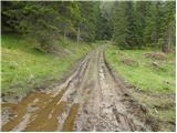 19
19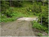 20
20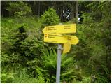 21
21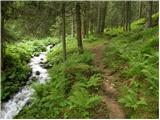 22
22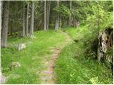 23
23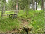 24
24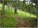 25
25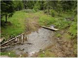 26
26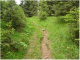 27
27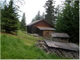 28
28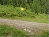 29
29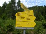 30
30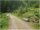 31
31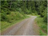 32
32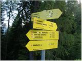 33
33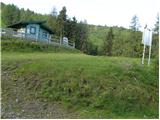 34
34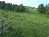 35
35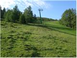 36
36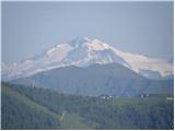 37
37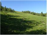 38
38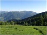 39
39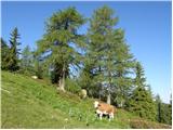 40
40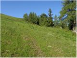 41
41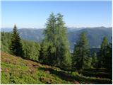 42
42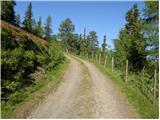 43
43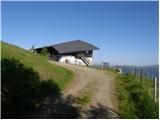 44
44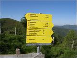 45
45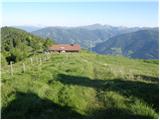 46
46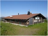 47
47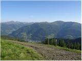 48
48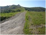 49
49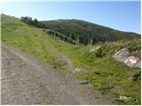 50
50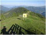 51
51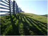 52
52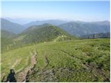 53
53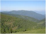 54
54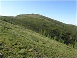 55
55 56
56 57
57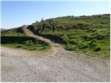 58
58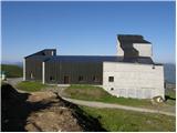 59
59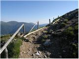 60
60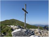 61
61 62
62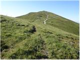 63
63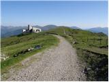 64
64 65
65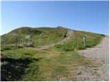 66
66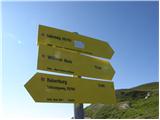 67
67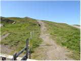 68
68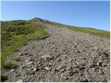 69
69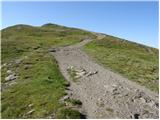 70
70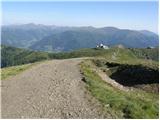 71
71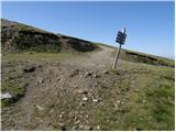 72
72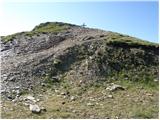 73
73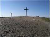 74
74 75
75
Discussion about the trail Bad Kleinkirchheim - Wöllaner Nock