Parkplatz Innerfragant - Wurtenspeicher (Richard Helfer Weg)
Starting point: Parkplatz Innerfragant (1230 m)
| Latitude/Longitude: | 46,98044°N 13,05170°E |
| |
Route name: Richard Helfer Weg
Walking time: 1 h 10 min
Difficulty: partly demanding marked way
Elevation gain: 465 m
Elevation difference along the route: 480 m
Map:
Recommended equipment (summer):
Recommended equipment (winter): ice axe, crampons
Views: 565
 | 2 people like this post |
Access to starting point:
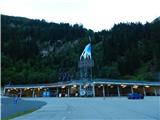
From the Karawanks Tunnel, we follow the highway towards Salzburg to a highway junction where we turn left towards Spittal. From Spittal we drive towards Lienz. A little after the highway ends, at the settlement Möllbrücke, we turn right towards the settlement Mallnitz and Alpine road Großglockner. We follow this road to the settlement Kleindorf (a little after the settlement Flattach) where signs „Mölltaler Gletscher“ point us to the right on an ascending road towards the bottom station of the cable car. We follow this road all the way to large parking lots at the bottom station of the cable car.
Route description:
From the parking lot, we continue on the asphalt road which is closed to traffic. After a short ascent on the road, signposts point us to the right on a footpath „Richard Helfer Weg“. On the footpath we also avoid the tunnels on the road through which walking is forbidden.
From the crossing, we start ascending a little steeper through the forest on a relatively poorly beaten footpath. Higher up, for a short time we join the road and then we again turn right on a footpath which is marked with Knafelc blazes. The path mostly ascends through the forest and crosses a few shorter clearings. Later, the path brings us to somewhat steeper slopes from which occasionally a view opens up on the waterfalls of the stream Astrombach on the other side of the steep valley. On a shorter crossing where the slope is very steep we also have a rope for help. The path here is not too demanding, but we have to pay attention because due to bushes and high grass we might not notice that beside the narrow path the slope is very steep. The path then from the steep slopes turns to the left and starts ascending a little steeper. On such a path through the forest we then soon reach the mountain road.
We continue right on the road which is slightly descending and brings us to a marked crossing near the lake Wurtenspeicher. We go left on a cart track and after a short ascent we come to the lake. Near the lake there are also benches and a table.

Photos:
 1
1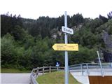 2
2 3
3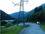 4
4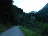 5
5 6
6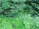 7
7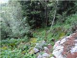 8
8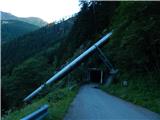 9
9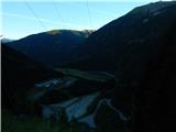 10
10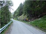 11
11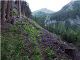 12
12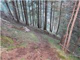 13
13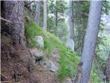 14
14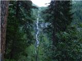 15
15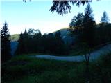 16
16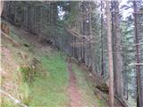 17
17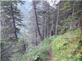 18
18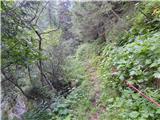 19
19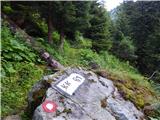 20
20 21
21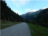 22
22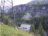 23
23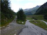 24
24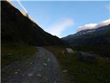 25
25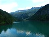 26
26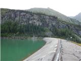 27
27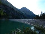 28
28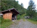 29
29
Discussion about the trip Parkplatz Innerfragant - Wurtenspeicher (Richard Helfer Weg)
To post a comment you must log in:
If you do not yet have a username, you must first
register.