Starting point: Naraplje (253 m)
| Lat/Lon: | 46,32259°N 15,76316°E |
| |
Time of walking: 1 h 30 min
Difficulty: easy marked way
Altitude difference: 164 m
Altitude difference po putu: 250 m
Map:
Recommended equipment (summer):
Recommended equipment (winter): ice axe, crampons
Views: 236
 | 1 person likes this post |
Access to the starting point:
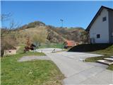
a) Leave the Styrian motorway at exit Slovenska Bistrica - South, then follow the road to Poljčane, and from there to Makole, Majšperk and Ptuj. At the end of Majšperk exit the roundabout in the direction of Žetale and Jurovci. Continue along the main road to Stanečka vas and a little further. At the end of Stanečka vas, turn right towards Žetale and Naraplje. You will quickly reach Naraplje, and we will follow the road to the centre of the village, where we will park in the parking lot next to the sports ground and the mountain direction signs.
b) Leave the Podravje motorway at exit Lancova vas, then follow the signs for Podlehnik and Jurovce. At the end of Tržec, turn right at the roundabout towards Jurovci and continue towards Majšperk. In Stogovci, turn left towards Žetale and quickly arrive in Naraplje, and we drive to the centre of the village, where we park in the parking lot next to the mountain direction signs and the sports ground.
Path description:
From the parking lot, follow the path towards Janske Vrh, crossing a small bridge in front of the water mill, after which the road turns slightly to the right. At the next crossroads, go straight on cart track, and after crossing the stream again, turn left and continue along the path near the stream. A little further on, the path passes into the valley of the said stream, and we take the path by the watercourse to the left on cart track, which ascends transversely. Cross a pasture higher up, and a little further on cart track, and above the farm reach a dirt road, which continues the ascent to a small saddle, where you go right.
The tarmac road then leads quickly to the next crossroads, at which there is a chapel, and we continue sharp right towards Janškemu Vrhu.
We continue along the sometimes quite scenic road, which ascends and then descends a few times, and at the crossroads we follow the markings for Janški Vrh.
After a while we leave the road as the mountain direction signs direct us slightly right on the footpath, which climbs above the road and leads us along a partly grassy slope. The path is laid a little further on and leads us past a few houses. Behind the houses we reach a marked crossroads, and we continue straight on (left Doklece, right Dolena), passing the last houses and climbing up to the Church of St John the Baptist on Janske Vrh.
Description and pictures refer to the situation in April 2022.

Pictures:
 1
1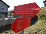 2
2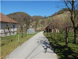 3
3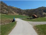 4
4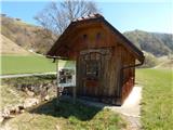 5
5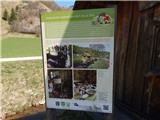 6
6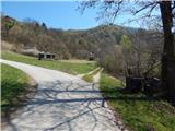 7
7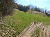 8
8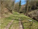 9
9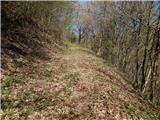 10
10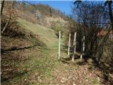 11
11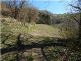 12
12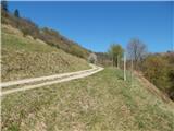 13
13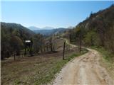 14
14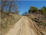 15
15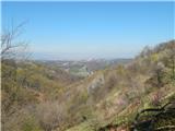 16
16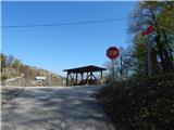 17
17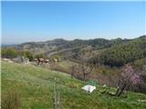 18
18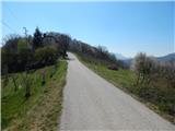 19
19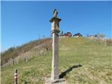 20
20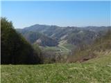 21
21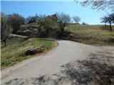 22
22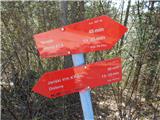 23
23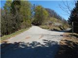 24
24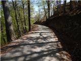 25
25 26
26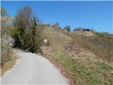 27
27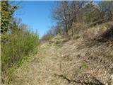 28
28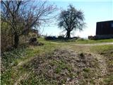 29
29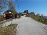 30
30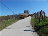 31
31 32
32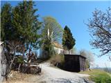 33
33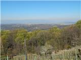 34
34
Discussion about the trail Naraplje - Janški vrh