Starting point: Mače (600 m)
| Lat/Lon: | 46,3131°N 14,4187°E |
| |
Time of walking: 2 h 15 min
Difficulty: easy marked way
Altitude difference: 850 m
Altitude difference po putu: 850 m
Map: Karavanke - osrednji del 1:50.000
Recommended equipment (summer):
Recommended equipment (winter):
Views: 18.693
 | 3 people like this post |
Access to the starting point:
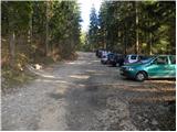
From the motorway Ljubljana - Jesenice take the exit Kranj - East and follow the road towards Jezersko, but only as far as the village of Tupaliče. Here, the sign for Preddvor directs you to the left, and then follow the road in the direction of the neighbouring village Mače. Through the village Mače, follow the mountain signs for Kališče. Shortly after the village you will see a marked parking area where you park (no further driving is allowed).
Path description:
From the parking lot, head back to the road you left. Follow this road for about half an hour to the crossroads, where you turn left after the Kališče signs. The path here crosses a stream and climbs steeply immediately afterwards. After a few minutes, the path leads to cart track, which we leave immediately. We take the marked footpath which runs between the two tracks. The path continues to climb moderately in the keys. After a while, the path leads back to the track. Follow it straight up, but only for a few minutes, and then turn onto the track. The track leads us to a bench on a lookout ledge within a few minutes of ascent. The path then leads into the forest and climbs gently at first. This nice walk on a less steep path ends quickly. The path then crosses a track and begins to climb in switchbacks through the forest. We walk along the path ahead, which gives us the feeling that we are gaining altitude quickly. The Gozd then becomes a little thinner so that we can look a little here and there towards Gorenjska. The path then just leads us to mountain pasture Kališče, where the path from the neighbouring village (Bašelj, Laško) joins us from the left.

Pictures:
 1
1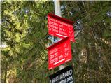 2
2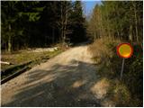 3
3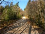 4
4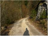 5
5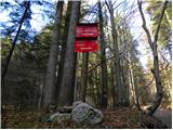 6
6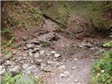 7
7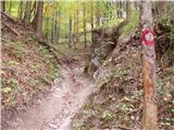 8
8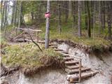 9
9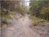 10
10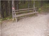 11
11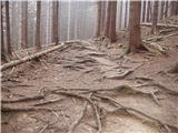 12
12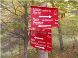 13
13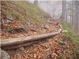 14
14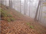 15
15 16
16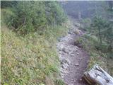 17
17 18
18 19
19 20
20
Discussion about the trail Mače - Planina Kališče
|
| Guest27. 01. 2007 |
bil danes pri domu, super razgled, tud "otoplilo" se je, td sneg je bil ok za hodit, na vrhu pa matinčkanje 
|
|
|