Spodnja Kokra - Kriška planina (over Davovec and on ridge of Trdovnik)
Starting point: Spodnja Kokra (530 m)
| Lat/Lon: | 46,3052°N 14,4986°E |
| |
Name of path: over Davovec and on ridge of Trdovnik
Time of walking: 3 h 15 min
Difficulty: partly demanding marked way
Altitude difference: 950 m
Altitude difference po putu: 980 m
Map: Kamniške in Savinjske Alpe 1:50.000
Recommended equipment (summer):
Recommended equipment (winter): ice axe, crampons
Views: 942
 | 1 person likes this post |
Access to the starting point:
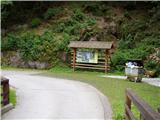
From the motorway Ljubljana - Jesenice take the exit Kranj - east and follow the road towards Zgornje Jezersko. In the village Kokra, at the road sign between 10. 5 and 10km, the road to Spodnja Kokra branches off to the right (there are also mountain signs at the crossroads). Just after the road crosses the Kokra River, park in the parking lot next to the road.
Path description:
At the beginning of the parking lot, you will see a sign pointing to the right to a footpath that climbs up overgrown steps. The path then bends and leads you higher up onto a road, which you follow to the right. After a short climb, you come to a small crossroads where you continue to the right, following the road for only a few dozen metres until you reach a house that is being demolished. At the house, the markings direct us to cart track (the road turns right here), which we then follow for a short time, as the marked path turns right and leads us past the cross to the stream. The path crosses the stream and starts to climb steeply behind it. The steepness soon subsides and the path leads us in a moderate ascent, almost entirely through the forest, after a good hour's walk to the ridge and the indistinct saddle Davovec, where there is a marked crossroads.
From the crossroads, continue left in the direction of Krvavec (Kopa and Štefanja Gora on the right) following cart track. After a few steps from the crossroads, the marked path from the lower station of the round-cabin cableway to Krvavec joins us from the right, and we follow the marked path towards Krvavec to the Partisan Monument. A little further on from the monument, cart track splits into two parts.
Continue along the right-hand cart track (the left-hand one returns to the marked path towards Krvavec) in the direction of the path of the Second Group of Detachments and Kriška planina. Walk transversely to the right along cart track, then follow the route of the circular cable car up a slightly steeper incline. A few 10 metres further on from the left-hand bend where cart track is placed, a track branches off to the left, along which you will see red star-shaped markings later on (following the right-hand cart track, you will quickly reach the nearby waterhole). The path then passes into the forest, where it first leads us along the growth of chemaža and past a small well. There is a short crossing on a less steep slope, and then we reach the back of the forest, after which the slope becomes quite steep. There is a crossing where we are "helped" by some fixed safety gear, which are on the lower side of the slope, so that they serve more as a fence. The slope soon becomes noticeably less steep, but the path is still less visible, and the red stars show the right way. We then cross Srednji gragn, and then begin to climb crosswise towards the ridge of Trdovnik. We continue to follow the red stars, here and there one of them has a golden-yellow border. A fainter path, along which there are also a few cairns, leads us across the steep slope to the ridge of Trdovnik, where we reach a more traceable path arriving from Lukenjski graben. When we reach the ridge, the "markings" in the form of red stars end and we continue climbing along a distinct ridge. We climb relatively steeply along the forested ridge of Trdovnik for a while, then we reach cart track, which turns left, and at the first crossroads we continue to the right. The cart track is quickly followed out of the forest, and the path splits into two parts a few 10 steps further on, at a small hunting observation post.
Continue left in the direction Kriška planina (straight mountain pasture Jezerec) and after a short ascent reach the road leading to the upper station of the circular cable car to Krvavec. This road is reached at a small crossroads, from which you continue straight up towards the Florjan mountain hut and the Viženčar tourist farm. There is a short, slightly steeper climb and you reach Kriška planina, where the two pastoral farms are located.

We can extend the trip to the following destinations: Planina Koren,
Dom na Krvavcu,
Planina Dolga njiva (Krvavec),
Planina Košutna,
Krvavec,
Mokrica,
Veliki Zvoh,
Košutna,
Kompotela,
Vrh Korena,
Kalška gora,
Kalški greben
Pictures:
 1
1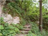 2
2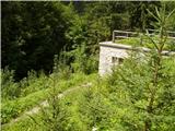 3
3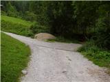 4
4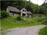 5
5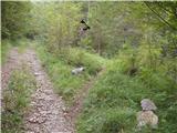 6
6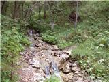 7
7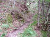 8
8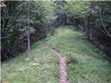 9
9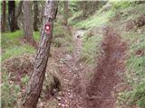 10
10 11
11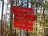 12
12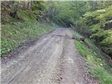 13
13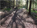 14
14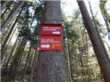 15
15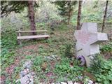 16
16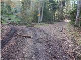 17
17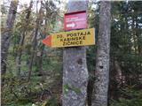 18
18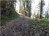 19
19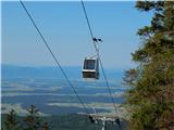 20
20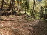 21
21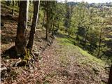 22
22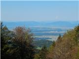 23
23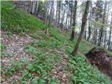 24
24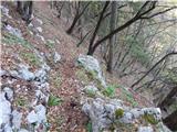 25
25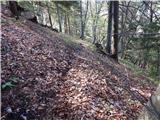 26
26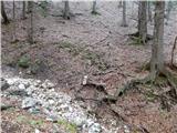 27
27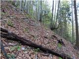 28
28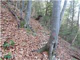 29
29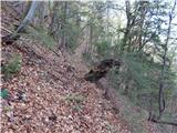 30
30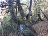 31
31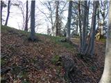 32
32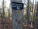 33
33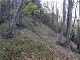 34
34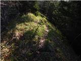 35
35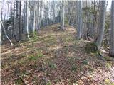 36
36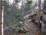 37
37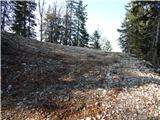 38
38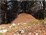 39
39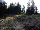 40
40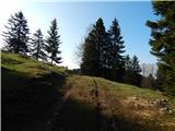 41
41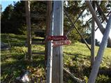 42
42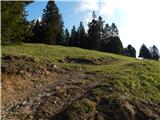 43
43 44
44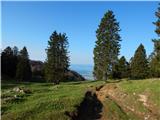 45
45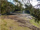 46
46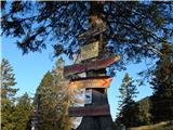 47
47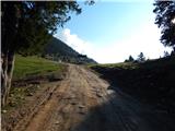 48
48 49
49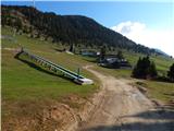 50
50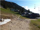 51
51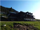 52
52
Discussion about the trail Spodnja Kokra - Kriška planina (over Davovec and on ridge of Trdovnik)