Lopar (Hiša od Bardinca) - Lopar (on path Pot oslovega hrbta)
Starting point: Lopar (Hiša od Bardinca) (303 m)
| Lat/Lon: | 45,5079°N 13,8242°E |
| |
Name of path: on path Pot oslovega hrbta
Time of walking: 2 h 30 min
Difficulty: easy unmarked way
Altitude difference: 0 m
Altitude difference po putu: 215 m
Map: Primorje in Kras 1:50.000
Recommended equipment (summer):
Recommended equipment (winter):
Views: 2.000
 | 1 person likes this post |
Access to the starting point:
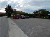
Leave the H5 expressway (Škofije - Koper) at exit Bertoki and drive to the village. Follow the signs for Sv. Anton, and we drive through Prade, Pobegi, Čežarji, to Sv. Anton, where we turn right after the parish church of St. Anton towards Marezigy. Continue along a slightly narrower road to the crossroads behind the ecological island and the bus station and in front of the chapel. From the crossroads, go left downhill towards the settlement Lopar (straight ahead Marezige, right Kavaliči). There is a short descent and then, after crossing the Pinjevec (Rokava) stream, you start climbing again. When you arrive in Lopar, park in the parking lot next to the House of Bardinac, and there are also information boards next to the parking lot.
Path description:
From the starting point, continue along the road through the village, where the path leads you past the Lopar Cultural Centre, past the Lopar - Truške branch of the Lopar - Truške walking trail, and past the Church of St. Jeruf. Shortly after the church, at the part where the path leads between the vineyards, turn slightly right off the road and then continue along the grassy cart track, which descends diagonally to the right. Lower down, you come to a wood and the path crosses a torrent. On the other side of the torrent, the path turns right and continues along the overgrown cart track, which is more difficult to cross at higher altitudes due to the overgrowth. After the overgrown part, the path becomes easier to follow, then crosses an asphalt road, and we continue on a side road and continue towards the village of Zabavlje. There is some walking on the asphalt road, which opens up a nice view towards Žbevnica and Učka.
From a nearby crossroads, at a small hamlet, we continue "straight ahead", and then signs (yellow line) direct us to a macadam path, which quickly turns into cart track. Cart track becomes increasingly grassy, but as it turns into forest it becomes practically impassable due to overgrowth. Once through the overgrown part, the path enters a more compact forest, where the path is also more passable. After a few minutes we reach an asphalt road leading to the settlement Popetre, but we just cross the road and continue along cart track, which gradually starts to descend. There is a longer descent on cart track, which mostly curves gently to the left. Lower down, the path flattens out, crossing a couple of torrents, and widens out into the wide cart track, which soon turns left onto a slightly overgrown path again. There is some more descent, and the path initially passes through dense woodland, but as it lays down it passes through meadows and plantations. Walk along the winding path for a few minutes, then reach an asphalt road, which you follow to the left. Shortly after crossing the Pinjevec (Rokava) brook, turn left onto a steep side road, which ascends to a nearby house, and bear left in front of the house. You will quickly reach the forest or lane of bushes, and the path climbs until you reach the settlement of Lopar. Before the first houses, a nice view opens up, but when we reach the slightly wider road we have already walked on, we turn right and it is only a few minutes' walk back to the House of Bardinac, where we started the trail. Description and figures refer to the situation in 2018 (June).

Pictures:
 1
1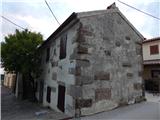 2
2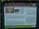 3
3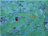 4
4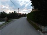 5
5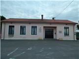 6
6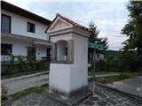 7
7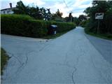 8
8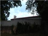 9
9 10
10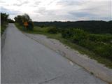 11
11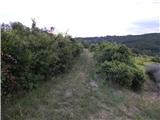 12
12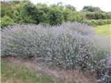 13
13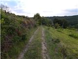 14
14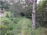 15
15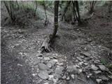 16
16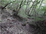 17
17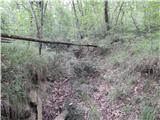 18
18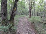 19
19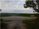 20
20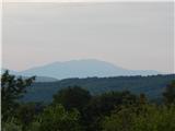 21
21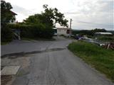 22
22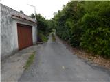 23
23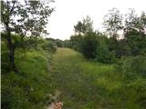 24
24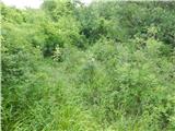 25
25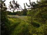 26
26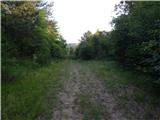 27
27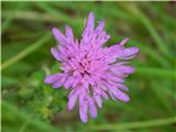 28
28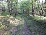 29
29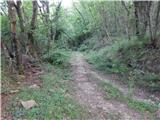 30
30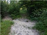 31
31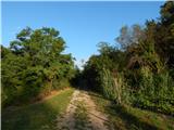 32
32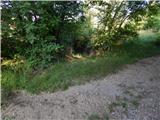 33
33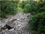 34
34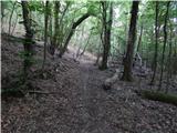 35
35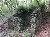 36
36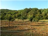 37
37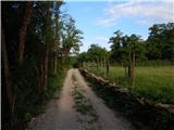 38
38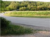 39
39 40
40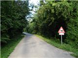 41
41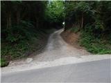 42
42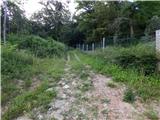 43
43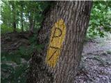 44
44 45
45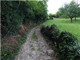 46
46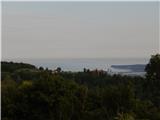 47
47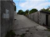 48
48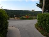 49
49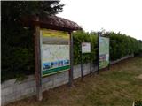 50
50
Discussion about the trail Lopar (Hiša od Bardinca) - Lopar (on path Pot oslovega hrbta)