Hayrack (Laška vas - Pečovje) - Tolsti vrh above Celjska koča (via chapel at Mary and on CPP)
Starting point: Hayrack (Laška vas - Pečovje) (316 m)
| Lat/Lon: | 46,21104°N 15,30886°E |
| |
Name of path: via chapel at Mary and on CPP
Time of walking: 1 h 35 min
Difficulty: easy marked way
Altitude difference: 518 m
Altitude difference po putu: 558 m
Map: Celjska kotlina, 1:50000
Recommended equipment (summer):
Recommended equipment (winter):
Views: 309
 | 3 people like this post |
Access to the starting point:
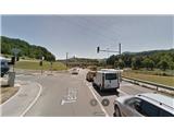
The "Laška vas - Pečovje" chapel is an ideal starting point for hiking tours in the nearby hills. For many years, the trestle was a feature of the Bojanski brook gorge between Pečovje and Laška vas, which is also the route of the asphalt road. As the goat house owned by a farmer had fallen into disrepair a few years ago, the municipality of Štore rebuilt it for its visibility with the help of European funds in order to preserve the vernacular architecture. Next to the trestle there is a large parking lot where we can park our little steel horse. The starting point can be reached by car from Celje and Štorje, where you can follow the signs for Svetina. Once you have passed the area of the old part of the ironworks in Štore, leave the main road to Svetina and turn right at the turn-off towards Pečovje. Continue along the narrow asphalt road for about 1 km and you will arrive at our hut. You can also reach the starting point on foot, as the path from the Štore railway station to the hut is fully marked.
Path description:
The starting point of the trail is at the new trestle. Our route to Tolste vrh is almost entirely marked and marked, but to different peaks and paths in the Celje hills, so it is necessary to follow the detailed description.
At the crossroads by the goat-fold, follow the signpost to Svetina over Marija and continue along the asphalt road towards Pečovje. After about 200 metres, at the second crossroads, continue sharp left and slightly uphill. The asphalt road soon flattens out again at the playground in Pečovje. Here is the starting point of the Barbara's Way, so for the first half of our trip we follow its signposts. After three terraced houses, turn left onto the forest road, which turns into a forest path at the last farmhouse. Soon, a path branches off to the left, leading through Bojanski graben, while we continue straight up through the dense forest. Then the path from Celje joins from the right, where we continue left along a forest road at weekends and then left again along a slightly narrower forest path partly also logging trail higher up. The path climbs again a little steeper and there are a few ropes to help, more as a fence than as a handhold. Soon we reach a crossroads. Straight up, the CPP (Celjska planinska pot) signs direct us to Srebotnik, and we continue left, first slightly downhill past the chapel with the image of Mary carved into the wall of Srebotnik, and then slightly uphill along a wide forest path, partly logging trail. Soon reach a new crossroads, where continue right on the paved forest road slightly uphill and stop following the signposts for Barbara's path. Follow the Gozdnik road for a few hundred metres to another crossroads at the saddle below the southern access to Srebotnik.
To the left you can climb the slightly shorter ridge path to Tolsti vrh, to the right you can climb Srebotnik, but we continue on the forest road slightly to the left down the CPP which in this part connects Srebotnik with Tolsti vrh. Follow the Gozdnik road for a few hundred metres to the first crossroads of the trail, or Hudičevski brook, where the CPP trail to Tolstý vrh leads up to the left, and the unmarked trail to the right branches off to the right towards Bavč, Grmada, Hotel Celjska koča, etc. Continue left up the marked forest path, which slowly turns into cart track and then into a forest road. Soon you reach a crossroads where you join an asphalt road to the right in the direction of Tolstego vrh, which you follow for only 100 metres. Then leave the asphalt road and, following the signs, follow the short cart track through the forest and then along the forest road. Further on, by the only homestead in this part, follow the path up through the meadow/pasture part and reach Tolsti vrh from the east. The viewpoint is another 50 metres further west, from where the southern and western Posavje hills are visible.

Pictures:
 1
1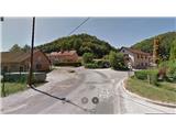 2
2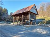 3
3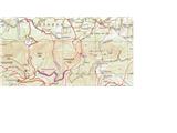 4
4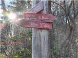 5
5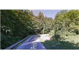 6
6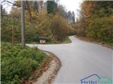 7
7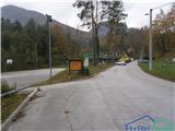 8
8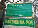 9
9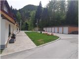 10
10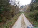 11
11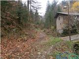 12
12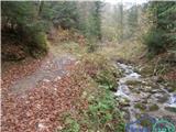 13
13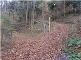 14
14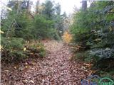 15
15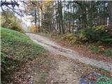 16
16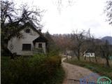 17
17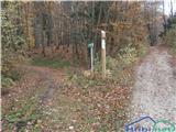 18
18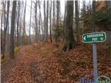 19
19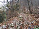 20
20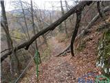 21
21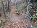 22
22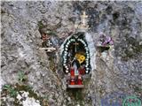 23
23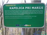 24
24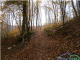 25
25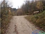 26
26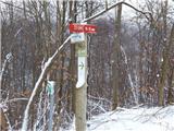 27
27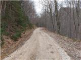 28
28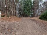 29
29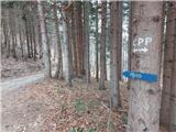 30
30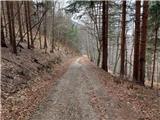 31
31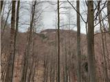 32
32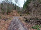 33
33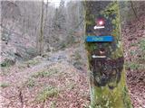 34
34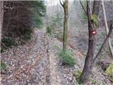 35
35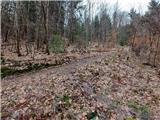 36
36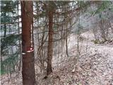 37
37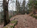 38
38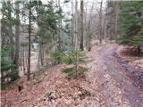 39
39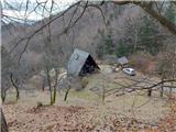 40
40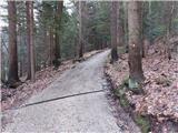 41
41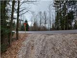 42
42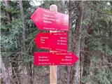 43
43 44
44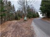 45
45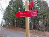 46
46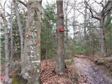 47
47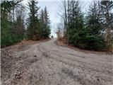 48
48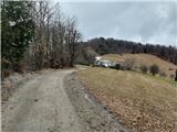 49
49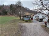 50
50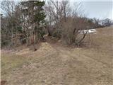 51
51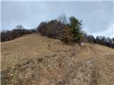 52
52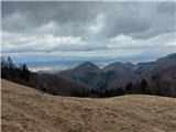 53
53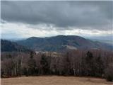 54
54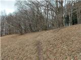 55
55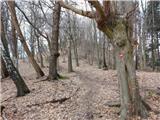 56
56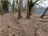 57
57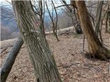 58
58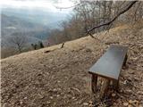 59
59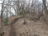 60
60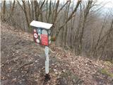 61
61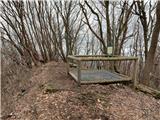 62
62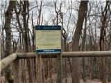 63
63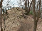 64
64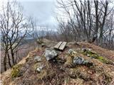 65
65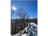 66
66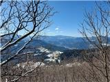 67
67 68
68
Discussion about the trail Hayrack (Laška vas - Pečovje) - Tolsti vrh above Celjska koča (via chapel at Mary and on CPP)