Avsa - Idrska planina (old path)
Starting point: Avsa (880 m)
| Lat/Lon: | 46,1985°N 13,5847°E |
| |
Name of path: old path
Time of walking: 1 h 25 min
Difficulty: easy marked way
Altitude difference: 370 m
Altitude difference po putu: 450 m
Map: Julijske Alpe - zahodni del 1:50.000
Recommended equipment (summer):
Recommended equipment (winter): ice axe, crampons
Views: 735
 | 1 person likes this post |
Access to the starting point:
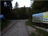
a) Drive to Tolmin, then continue driving to Kobarid. When you reach Idrsko, turn left in the direction of Livek and follow the signs for Avsa and Matajur from Livko. From Avsa, continue for another 300 metres and then park at the marked parking area.
b) From Kobarid, drive towards Tolmin, but only as far as Idrsko, where you turn right towards Livek, and from Livko follow the signs for Avsa and Matajur. From Avsa, continue for another 300 metres and then park in the marked parking area.
Path description:
From the parking lot, follow the marked path in the route Monte Mataiur, initially walking through the forest and crossing at cart track. There is a climb through two short hayfields, and then back into the dense forest, with a moderate to steep ascent, and a slight descent here and there. At a higher level, cross a metal fence, after which the path turns right and continues along cart track. Cart track soon ends and we continue on the track, which continues over a partly grassy slope surrounded by strips of woodland. A little further on, the path turns left and completely flattens out on the slopes of Srednji vrh.
Here you can climb to Srednji vrh in a few minutes on a trackless path, otherwise continue on the marked path which crosses the slopes of the summit and joins the forest road a little further on. Follow the road to the right and quickly reach a marked crossroads in a small valley between Mrzli vrh and Srednji vrh.
At the crossroads, leave the road leading further in the direction of Monte Mataiur and continue to the right in the direction of Idrska planina and Mrzlega vrha. We quickly reach the ridge, which is reached at the saddle between the two peaks, and we continue straight down from the saddle in the direction of Idrska planina (Mrzli vrh on the left, Srednji vrh on the right), where we can already see the pasture in good weather. After a few minutes, when we stop descending, we first reach cart track, which we follow to the left, and at a nearby crossroads we go right to the pasture.

Pictures:
 1
1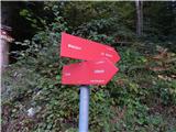 2
2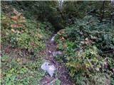 3
3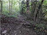 4
4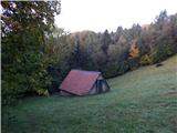 5
5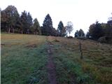 6
6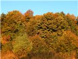 7
7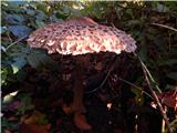 8
8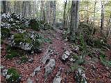 9
9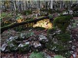 10
10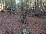 11
11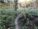 12
12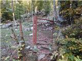 13
13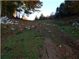 14
14 15
15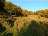 16
16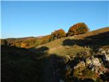 17
17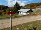 18
18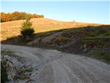 19
19 20
20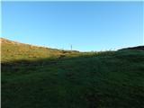 21
21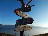 22
22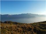 23
23 24
24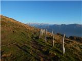 25
25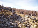 26
26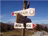 27
27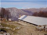 28
28
Discussion about the trail Avsa - Idrska planina (old path)